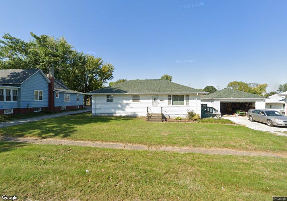
2008 Locust St Granger, IA 50109
Estimated Value: $182,000 - $307,000
3
Beds
1
Bath
1,274
Sq Ft
$187/Sq Ft
Est. Value
About This Home
This home is located at 2008 Locust St, Granger, IA 50109 and is currently estimated at $238,092, approximately $186 per square foot. 2008 Locust St is a home located in Dallas County with nearby schools including Woodward-Granger Elementary School and Woodward-Granger Middle School.
Ownership History
Date
Name
Owned For
Owner Type
Purchase Details
Closed on
Nov 2, 2023
Sold by
Hansen Mark and Hansen Kathy
Bought by
Mark And Kathy Hansen Trust and Hansen
Current Estimated Value
Purchase Details
Closed on
Aug 25, 2023
Sold by
Fuson Bradley J
Bought by
Hansen Mark and Hansen Kathy
Purchase Details
Closed on
Mar 31, 2023
Sold by
Fuson Joseph R
Bought by
Fuson Bradley J
Create a Home Valuation Report for This Property
The Home Valuation Report is an in-depth analysis detailing your home's value as well as a comparison with similar homes in the area
Home Values in the Area
Average Home Value in this Area
Purchase History
| Date | Buyer | Sale Price | Title Company |
|---|---|---|---|
| Mark And Kathy Hansen Trust | -- | None Listed On Document | |
| Mark And Kathy Hansen Trust | -- | None Listed On Document | |
| Hansen Mark | $168,000 | None Listed On Document | |
| Fuson Bradley J | -- | -- | |
| Fuson Joseph R | -- | -- |
Source: Public Records
Tax History Compared to Growth
Tax History
| Year | Tax Paid | Tax Assessment Tax Assessment Total Assessment is a certain percentage of the fair market value that is determined by local assessors to be the total taxable value of land and additions on the property. | Land | Improvement |
|---|---|---|---|---|
| 2024 | $3,318 | $166,400 | $45,000 | $121,400 |
| 2023 | $3,318 | $192,730 | $45,000 | $147,730 |
| 2022 | $3,000 | $171,140 | $45,000 | $126,140 |
| 2021 | $3,000 | $159,270 | $45,000 | $114,270 |
| 2020 | $2,734 | $139,670 | $45,000 | $94,670 |
| 2019 | $2,520 | $139,670 | $45,000 | $94,670 |
| 2018 | $2,520 | $121,850 | $30,080 | $91,770 |
| 2017 | $2,484 | $121,850 | $30,080 | $91,770 |
| 2016 | $2,374 | $115,830 | $30,080 | $85,750 |
| 2015 | $2,188 | $110,790 | $0 | $0 |
| 2014 | $2,188 | $110,790 | $0 | $0 |
Source: Public Records
Map
Nearby Homes
- 1803 Walnut St
- 1806 Main St
- 2004 White Oak Ln
- 2103 White Oak Ln
- 2208 White Oak Ln
- 2206 White Oak Ln
- 2100 White Oak Ln
- 2009 Oak St
- Hoover C Plan at Oxley Creek West
- Hoover B Plan at Oxley Creek West
- Dogwood B Plan at Oxley Creek West
- Harrison IV Plan at Oxley Creek West
- Grant Plan at Oxley Creek West
- Fillmore Plan at Oxley Creek West
- Spencer I Plan at Oxley Creek West
- Eisenhower Plan at Oxley Creek West
- 2317 Oxley Dr
- 2009 White Oak Ln
- 2409 Sunview Dr
- 2103 Vista View Dr
- 2010 Locust St
- 2006 Locust St
- 2004 Locust St
- 2007 Sycamore St
- 2009 Sycamore St
- 2005 Sycamore St
- 2002 Locust St
- 2100 Locust St
- 2007 Locust St
- 2003 Locust St
- 2000 State St
- 2008 State St
- 2101 Sycamore St
- 2001 Locust St
- 2102 Locust St
- 2101 Locust St
- 2100 State St
- 2006 Sycamore St
- 2010 Walnut St
- 2004 Sycamore St