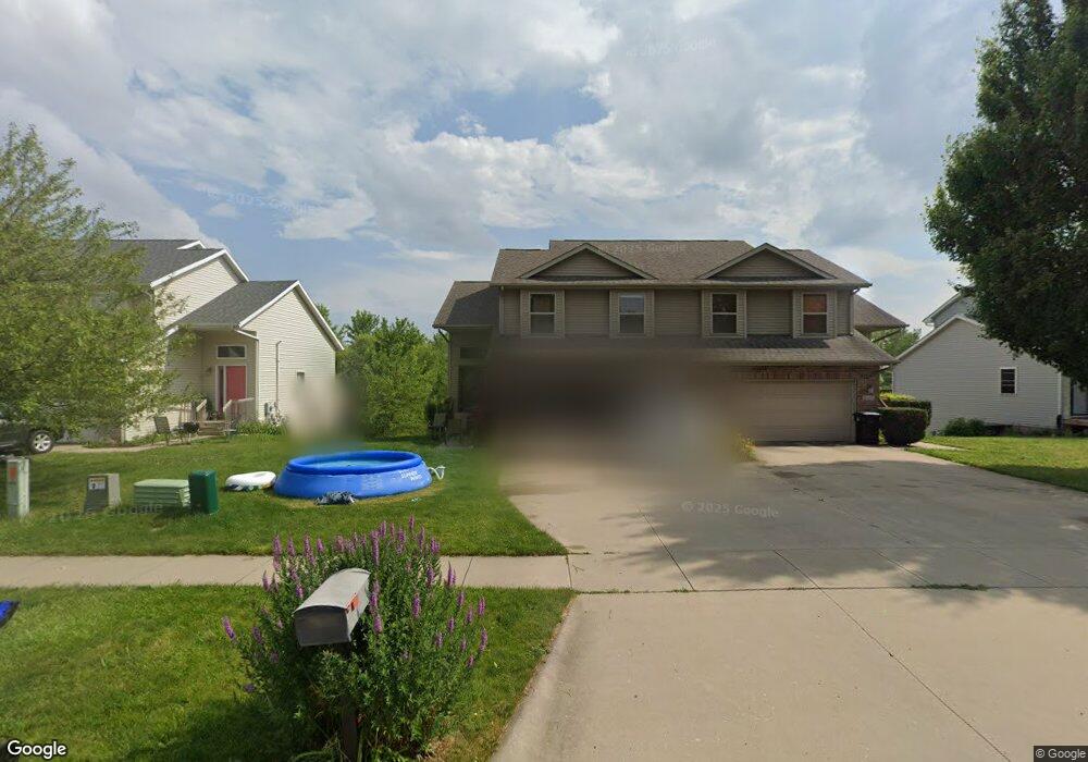
2008 Northland Cir Unit B Coralville, IA 52241
Estimated Value: $256,000 - $377,222
4
Beds
2
Baths
2,030
Sq Ft
$144/Sq Ft
Est. Value
About This Home
This home is located at 2008 Northland Cir Unit B, Coralville, IA 52241 and is currently estimated at $293,306, approximately $144 per square foot. 2008 Northland Cir Unit B is a home located in Johnson County with nearby schools including Central Elementary School, Northwest Junior High School, and West High School.
Ownership History
Date
Name
Owned For
Owner Type
Purchase Details
Closed on
Apr 10, 2009
Sold by
Engelmann Eric M and Engelmann Amy L
Bought by
Beland Robert Paul and Beland Sarah P
Current Estimated Value
Home Financials for this Owner
Home Financials are based on the most recent Mortgage that was taken out on this home.
Original Mortgage
$135,600
Outstanding Balance
$86,497
Interest Rate
5.19%
Mortgage Type
New Conventional
Estimated Equity
$206,809
Create a Home Valuation Report for This Property
The Home Valuation Report is an in-depth analysis detailing your home's value as well as a comparison with similar homes in the area
Home Values in the Area
Average Home Value in this Area
Purchase History
| Date | Buyer | Sale Price | Title Company |
|---|---|---|---|
| Beland Robert Paul | $169,500 | None Available |
Source: Public Records
Mortgage History
| Date | Status | Borrower | Loan Amount |
|---|---|---|---|
| Open | Beland Robert Paul | $135,600 |
Source: Public Records
Tax History Compared to Growth
Tax History
| Year | Tax Paid | Tax Assessment Tax Assessment Total Assessment is a certain percentage of the fair market value that is determined by local assessors to be the total taxable value of land and additions on the property. | Land | Improvement |
|---|---|---|---|---|
| 2025 | $4,614 | $267,000 | $39,600 | $227,400 |
| 2024 | $4,544 | $259,000 | $39,600 | $219,400 |
| 2023 | $4,366 | $258,800 | $39,600 | $219,200 |
| 2022 | $4,166 | $217,100 | $18,000 | $199,100 |
| 2021 | $4,150 | $217,100 | $18,000 | $199,100 |
| 2020 | $4,150 | $207,600 | $18,000 | $189,600 |
| 2019 | $3,534 | $207,600 | $18,000 | $189,600 |
| 2018 | $3,462 | $179,200 | $18,000 | $161,200 |
| 2017 | $3,374 | $179,200 | $18,000 | $161,200 |
| 2016 | $3,280 | $173,700 | $18,000 | $155,700 |
| 2015 | $3,280 | $173,700 | $18,000 | $155,700 |
| 2014 | $2,886 | $153,300 | $18,000 | $135,300 |
Source: Public Records
Map
Nearby Homes
- 1357 Ozark Ridge
- 2050 S Ridge Dr
- 2100 14th St Unit 42A
- 1428 Kenai Ct
- 1333 Woolridge Dr
- 2060 Holiday Rd
- 2106 Holiday Rd
- 1730 Lynncrest Dr
- 1731 Parkway Dr
- 1445 Valley View Dr
- 2239 13th St
- 1018 16th Ave
- 1912 N Ridge Dr
- 2262 Holiday Rd Unit 104
- 2102 10th Street Place
- 1721 12th Ave
- 1705 12th Ave
- 2267 13th St Unit 65B
- 996 22nd Ave
- 2270 Holiday Rd Unit 509
- 2010 Northland Cir
- 2006 Northland Cir
- 2012 Northland Cir
- 2004 Northland Cir
- 2014 Northland Cir
- 2058 Northland Cir Unit 25B
- 2016 Northland Cir
- 2056 Northland Cir Unit 25A
- 2060 Northland Cir
- 2054 Northland Cir
- 2062 Northland Cir
- 2024 Stratford Ct
- 2052 Northland Cir
- 2026 Stratford Ct
- 2020 Northland Cir Unit B
- 2050 Northland Cir
- 2022 Stratford Ct
- 2028 Stratford Ct Unit 11B
- 2048 Northland Cir
- 1435 Woolridge Dr