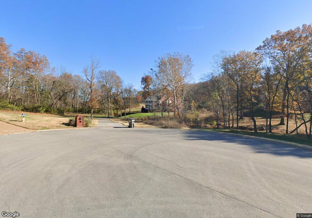
2008 Port Andreas Mount Juliet, TN 37122
Estimated Value: $729,328 - $986,000
--
Bed
3
Baths
3,716
Sq Ft
$222/Sq Ft
Est. Value
About This Home
This home is located at 2008 Port Andreas, Mount Juliet, TN 37122 and is currently estimated at $825,332, approximately $222 per square foot. 2008 Port Andreas is a home located in Wilson County with nearby schools including West Elementary School, West Wilson Middle School, and Mt. Juliet High School.
Ownership History
Date
Name
Owned For
Owner Type
Purchase Details
Closed on
Jul 30, 1999
Sold by
Easley William S Ii (Tr)
Bought by
Guess Robert M
Current Estimated Value
Create a Home Valuation Report for This Property
The Home Valuation Report is an in-depth analysis detailing your home's value as well as a comparison with similar homes in the area
Home Values in the Area
Average Home Value in this Area
Purchase History
| Date | Buyer | Sale Price | Title Company |
|---|---|---|---|
| Guess Robert M | $34,900 | -- |
Source: Public Records
Tax History Compared to Growth
Tax History
| Year | Tax Paid | Tax Assessment Tax Assessment Total Assessment is a certain percentage of the fair market value that is determined by local assessors to be the total taxable value of land and additions on the property. | Land | Improvement |
|---|---|---|---|---|
| 2024 | $2,841 | $148,825 | $18,750 | $130,075 |
| 2022 | $2,841 | $148,825 | $18,750 | $130,075 |
| 2021 | $2,841 | $148,825 | $18,750 | $130,075 |
| 2020 | $3,047 | $148,825 | $18,750 | $130,075 |
| 2019 | $3,047 | $120,950 | $14,650 | $106,300 |
| 2018 | $3,047 | $120,950 | $14,650 | $106,300 |
| 2017 | $3,047 | $120,950 | $14,650 | $106,300 |
| 2016 | $3,047 | $120,950 | $14,650 | $106,300 |
| 2015 | $3,109 | $120,950 | $14,650 | $106,300 |
| 2014 | $2,594 | $100,918 | $0 | $0 |
Source: Public Records
Map
Nearby Homes
- 1104 Port William Ct
- 4635 Benders Ferry Rd
- 4896 Benders Ferry Rd
- 66 Crestview Dr
- 128 Crestview Dr
- 95 Short Dr
- 0 Gambill Cove Tubbs Rd Unit RTC3000833
- 141 Kathryn Adele Ln
- 210 Kortney Marie Place
- 209 Kortney Marie Place
- 3581 Benders Ferry Rd
- 379 Gilley Rd
- 341 Sunset Island Trail
- 212 Camille Victoria Ct
- 109 Devan Kishan Way
- 110 Devan Kishan Way
- 1561 Oxford Ct
- 119 Grassland Dr
- 19 Harbor Dr
- 1003 Beacon Ct
- 2004 Port Andreas
- 1105 Port William Ct
- 2002 Port Andreas
- 2005 Port Andreas
- 2005 Port Andreas
- 1106 Port William Ct
- 2000 Port Andreas
- 1103 Port William Ct
- 2003 Port Andreas
- 2006 Port Andreas
- 1013 Benton Harbor Blvd
- 1009 Benton Harbor Blvd
- 1015 Benton Harbor Blvd
- 1100 Port William Ct
- 1019 Benton Harbor Blvd
- 1203 Benton Hill Dr
- 1007 Benton Harbor Blvd
- 4560 Benders Ferry Rd
- 9 Port Andreas
- 11 Port Andreas