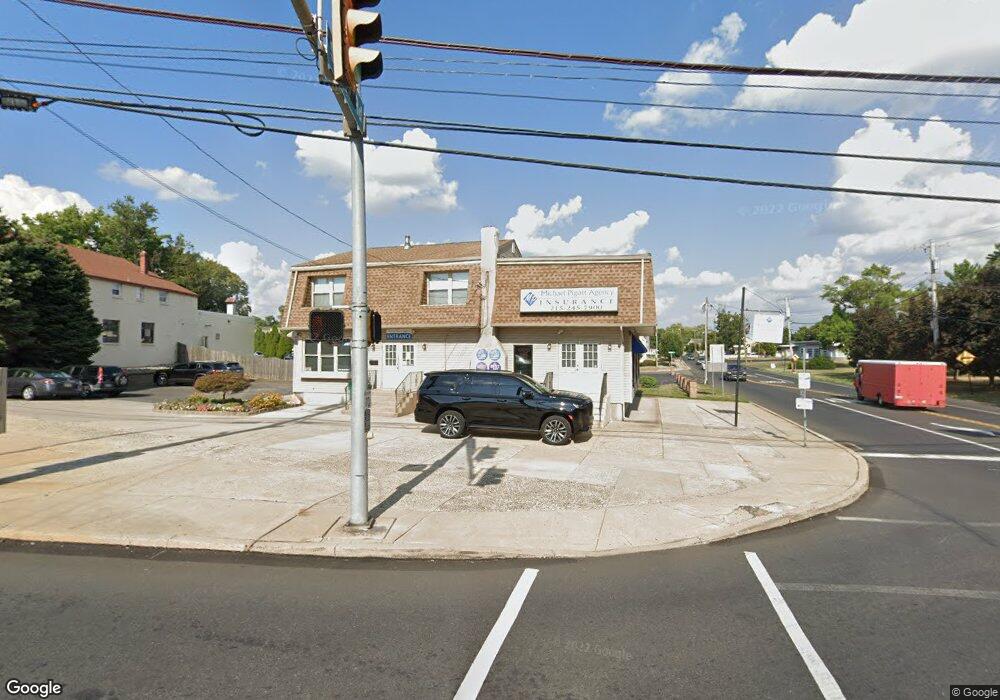
2008 State Rd Bensalem, PA 19020
6
Beds
2
Baths
3,762
Sq Ft
0.26
Acres
About This Home
This home is located at 2008 State Rd, Bensalem, PA 19020. 2008 State Rd is a home located in Bucks County with nearby schools including Robert K. Shafer Middle School, School Lane Charter School, and St Charles Borromeo School.
Ownership History
Date
Name
Owned For
Owner Type
Purchase Details
Closed on
Jun 17, 2013
Sold by
Mcbride Thomas J and Mcbride Mary Ann B
Bought by
A Jem Property Llc
Home Financials for this Owner
Home Financials are based on the most recent Mortgage that was taken out on this home.
Original Mortgage
$248,000
Outstanding Balance
$179,058
Interest Rate
3.83%
Mortgage Type
Future Advance Clause Open End Mortgage
Purchase Details
Closed on
Aug 11, 1997
Sold by
Blair Constance and Amenhauser Antonia M
Bought by
Mcbride Thomas J and Mcbride Mary Ann B
Create a Home Valuation Report for This Property
The Home Valuation Report is an in-depth analysis detailing your home's value as well as a comparison with similar homes in the area
Home Values in the Area
Average Home Value in this Area
Purchase History
| Date | Buyer | Sale Price | Title Company |
|---|---|---|---|
| A Jem Property Llc | $150,000 | None Available | |
| Mcbride Thomas J | -- | -- |
Source: Public Records
Mortgage History
| Date | Status | Borrower | Loan Amount |
|---|---|---|---|
| Open | A Jem Property Llc | $248,000 |
Source: Public Records
Tax History Compared to Growth
Tax History
| Year | Tax Paid | Tax Assessment Tax Assessment Total Assessment is a certain percentage of the fair market value that is determined by local assessors to be the total taxable value of land and additions on the property. | Land | Improvement |
|---|---|---|---|---|
| 2025 | $4,628 | $21,200 | $8,480 | $12,720 |
| 2024 | $4,628 | $21,200 | $8,480 | $12,720 |
| 2023 | $4,497 | $21,200 | $8,480 | $12,720 |
| 2022 | $4,471 | $21,200 | $8,480 | $12,720 |
| 2021 | $4,471 | $21,200 | $8,480 | $12,720 |
| 2020 | $4,426 | $21,200 | $8,480 | $12,720 |
| 2019 | $4,327 | $21,200 | $8,480 | $12,720 |
| 2018 | $4,227 | $21,200 | $8,480 | $12,720 |
| 2017 | $4,201 | $21,200 | $8,480 | $12,720 |
| 2016 | $4,201 | $21,200 | $8,480 | $12,720 |
| 2015 | -- | $21,200 | $8,480 | $12,720 |
| 2014 | -- | $21,200 | $8,480 | $12,720 |
Source: Public Records
Map
Nearby Homes
- 2025 State Rd
- 126B Royal Mews
- 106 Dock St
- 113 Royal Mews
- 106A Prince George St Unit A
- 120B Dock St
- 136b Alexandria St
- 116B King St
- 114B King St
- 97 Waterside Mews
- 104B King St
- 204A Dock St
- 833 Simons Ave
- 943 Cornwells Ave
- 2209 Dungan Ave
- 1032 Sunset Ln
- 7 Fox Ct Unit EE7
- 44 River Ln Unit HH44
- 10 Fawn Ct Unit Z10
- 2 Teal Ct Unit X2
- 503 Station Ave
- 351 Herringbone Ln
- 514 Cambria Ave
- 341 Herringbone Ln
- 519 Station Ave
- 534 Cambria Ave
- 513 Cambria Ave
- 331 Herringbone Ln
- 535 Station Ave
- 521 Cambria Ave
- 546 Cambria Ave
- 535 Cambria Ave
- 2066 Maryland Ave
- 321 Herringbone Ln
- 2047 New York Ave
- 318 Cambria Ave
- 2106 Maryland Ave
- 0 State Rd Unit PABU464634
- 0 State Rd Unit PABU464524
- 2057 New York Ave