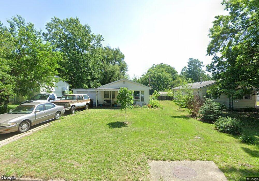
2008 SW Moundview Dr Topeka, KS 66604
West Topeka NeighborhoodEstimated Value: $132,000 - $153,000
3
Beds
1
Bath
1,034
Sq Ft
$138/Sq Ft
Est. Value
About This Home
This home is located at 2008 SW Moundview Dr, Topeka, KS 66604 and is currently estimated at $142,476, approximately $137 per square foot. 2008 SW Moundview Dr is a home located in Shawnee County with nearby schools including Whitson Elementary School, Marjorie French Middle School, and Topeka West High School.
Ownership History
Date
Name
Owned For
Owner Type
Purchase Details
Closed on
Mar 30, 2009
Sold by
Kloos Richard and Kloos Pennie
Bought by
Engel Amy Lynn
Current Estimated Value
Home Financials for this Owner
Home Financials are based on the most recent Mortgage that was taken out on this home.
Original Mortgage
$67,258
Outstanding Balance
$43,131
Interest Rate
5.21%
Mortgage Type
FHA
Estimated Equity
$99,345
Purchase Details
Closed on
May 5, 2008
Sold by
Household Finance Corporation Iii
Bought by
Kloos Richard and Kloos Pennie
Home Financials for this Owner
Home Financials are based on the most recent Mortgage that was taken out on this home.
Original Mortgage
$55,000
Interest Rate
5.86%
Mortgage Type
Future Advance Clause Open End Mortgage
Create a Home Valuation Report for This Property
The Home Valuation Report is an in-depth analysis detailing your home's value as well as a comparison with similar homes in the area
Home Values in the Area
Average Home Value in this Area
Purchase History
| Date | Buyer | Sale Price | Title Company |
|---|---|---|---|
| Engel Amy Lynn | -- | Lawyers Title Of Topeka Inc | |
| Kloos Richard | -- | First American Title |
Source: Public Records
Mortgage History
| Date | Status | Borrower | Loan Amount |
|---|---|---|---|
| Open | Engel Amy Lynn | $67,258 | |
| Previous Owner | Kloos Richard | $55,000 |
Source: Public Records
Tax History Compared to Growth
Tax History
| Year | Tax Paid | Tax Assessment Tax Assessment Total Assessment is a certain percentage of the fair market value that is determined by local assessors to be the total taxable value of land and additions on the property. | Land | Improvement |
|---|---|---|---|---|
| 2025 | $1,930 | $14,538 | -- | -- |
| 2023 | $1,930 | $13,191 | $0 | $0 |
| 2022 | $1,682 | $11,471 | $0 | $0 |
| 2021 | $1,551 | $9,975 | $0 | $0 |
| 2020 | $1,458 | $9,500 | $0 | $0 |
| 2019 | $1,437 | $9,314 | $0 | $0 |
| 2018 | $1,396 | $9,042 | $0 | $0 |
| 2017 | $1,370 | $8,865 | $0 | $0 |
| 2014 | $1,384 | $8,865 | $0 | $0 |
Source: Public Records
Map
Nearby Homes
- 4230 SW 19th St
- 2028 SW Stone Ave
- 1944 SW Quivira Dr
- 4221 SW 17th St
- 3900 SW Holly Ln
- 2401 SW James St
- 4200 SW Stratford Rd
- 2012 SW Westwood Dr
- 1625 SW Lakeside Dr
- 4401 SW Connemara Ln
- 4405 SW Connemara Ln
- 2425 SW James St
- 3636 SW Stratford Rd
- 2124 SW Meadow Ln
- 1421 SW Mcalister Ave
- 1533 SW Stratford Rd
- 3904 SW 26th St
- 1728 SW Fairlawn Rd
- 2401 SW Crest Dr
- 1274 SW Indian Trail Ct
- 2012 SW Moundview Dr
- 2004 SW Moundview Dr
- 2018 SW Moundview Dr
- 1946 SW Moundview Dr
- 2009 SW Seabrook Ave
- 2019 SW Seabrook Ave
- 1944 SW Moundview Dr
- 2005 SW Moundview Dr
- 2009 SW Moundview Dr
- 1945 SW Seabrook Ave
- 2001 SW Moundview Dr
- 2001 SW Seabrook Ave
- 2026 SW Moundview Dr
- 1940 SW Moundview Dr
- 1943 SW Moundview Dr
- 1943 SW Seabrook Ave
- 2023 SW Seabrook Ave
- 2021 SW Moundview Dr
- 1939 SW Moundview Dr
- 1936 SW Moundview Dr