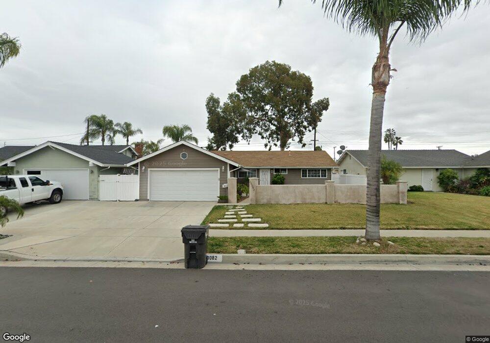
20082 Harbor Isle Ln Huntington Beach, CA 92646
Southeast NeighborhoodEstimated Value: $956,758 - $1,165,000
3
Beds
2
Baths
984
Sq Ft
$1,094/Sq Ft
Est. Value
About This Home
This home is located at 20082 Harbor Isle Ln, Huntington Beach, CA 92646 and is currently estimated at $1,076,690, approximately $1,094 per square foot. 20082 Harbor Isle Ln is a home located in Orange County with nearby schools including S.A. Moffett Elementary School, Isaac L. Sowers Middle School, and Edison High School.
Ownership History
Date
Name
Owned For
Owner Type
Purchase Details
Closed on
May 30, 1995
Sold by
Dellea Mark Edward and Dellea Pami Suzanne
Bought by
Dellea Mark E and Dellea Giltner Pami S
Current Estimated Value
Home Financials for this Owner
Home Financials are based on the most recent Mortgage that was taken out on this home.
Original Mortgage
$20,000
Interest Rate
8.32%
Create a Home Valuation Report for This Property
The Home Valuation Report is an in-depth analysis detailing your home's value as well as a comparison with similar homes in the area
Home Values in the Area
Average Home Value in this Area
Purchase History
| Date | Buyer | Sale Price | Title Company |
|---|---|---|---|
| Dellea Mark E | -- | North American Title Co |
Source: Public Records
Mortgage History
| Date | Status | Borrower | Loan Amount |
|---|---|---|---|
| Closed | Dellea Mark E | $20,000 |
Source: Public Records
Tax History Compared to Growth
Tax History
| Year | Tax Paid | Tax Assessment Tax Assessment Total Assessment is a certain percentage of the fair market value that is determined by local assessors to be the total taxable value of land and additions on the property. | Land | Improvement |
|---|---|---|---|---|
| 2025 | $1,039 | $67,002 | $32,337 | $34,665 |
| 2024 | $1,039 | $65,689 | $31,703 | $33,986 |
| 2023 | $1,010 | $64,401 | $31,081 | $33,320 |
| 2022 | $981 | $63,139 | $30,472 | $32,667 |
| 2021 | $963 | $61,901 | $29,874 | $32,027 |
| 2020 | $955 | $61,267 | $29,568 | $31,699 |
| 2019 | $946 | $60,066 | $28,988 | $31,078 |
| 2018 | $931 | $58,889 | $28,420 | $30,469 |
| 2017 | $917 | $57,735 | $27,863 | $29,872 |
| 2016 | $885 | $56,603 | $27,316 | $29,287 |
| 2015 | $874 | $55,753 | $26,905 | $28,848 |
| 2014 | $854 | $54,661 | $26,378 | $28,283 |
Source: Public Records
Map
Nearby Homes
- 20111 Marina Ln
- 20071 Moontide Cir
- 20258 Lantana Dr
- 9522 Yellowstone Dr
- 19846 Lures Ln
- 19901 Burnley Ln
- 9594 Pettswood Dr Unit 4
- 9121 Madeline Dr
- 9667 Durham Dr
- 9695 Adams Ave
- 19854 Leighton Ln
- 20131 Crown Reef Ln
- 9172 Veronica Dr
- 9745 Cornwall Dr
- 20191 Imperial Cove Ln
- 8886 Plumas Cir Unit 1124-A
- 19843 Coventry Ln
- 8932 Amador Cir Unit 1309B
- 19860 Claremont Ln
- 8856 Sutter Cir Unit 522A
- 20072 Harbor Isle Ln
- 20092 Harbor Isle Ln
- 20062 Harbor Isle Ln
- 20102 Harbor Isle Ln
- 20091 Harbor Isle Ln
- 20101 Harbor Isle Ln
- 20081 Harbor Isle Ln
- 20052 Harbor Isle Ln
- 20112 Harbor Isle Ln
- 20111 Harbor Isle Ln
- 20071 Harbor Isle Ln
- 20122 Harbor Isle Ln
- 20042 Harbor Isle Ln
- 20121 Harbor Isle Ln
- 20051 Harbor Isle Ln
- 20101 Marina Ln
- 20091 Marina Ln
- 20102 Shorewood Cir
- 20082 Shorewood Cir
- 20081 Marina Ln