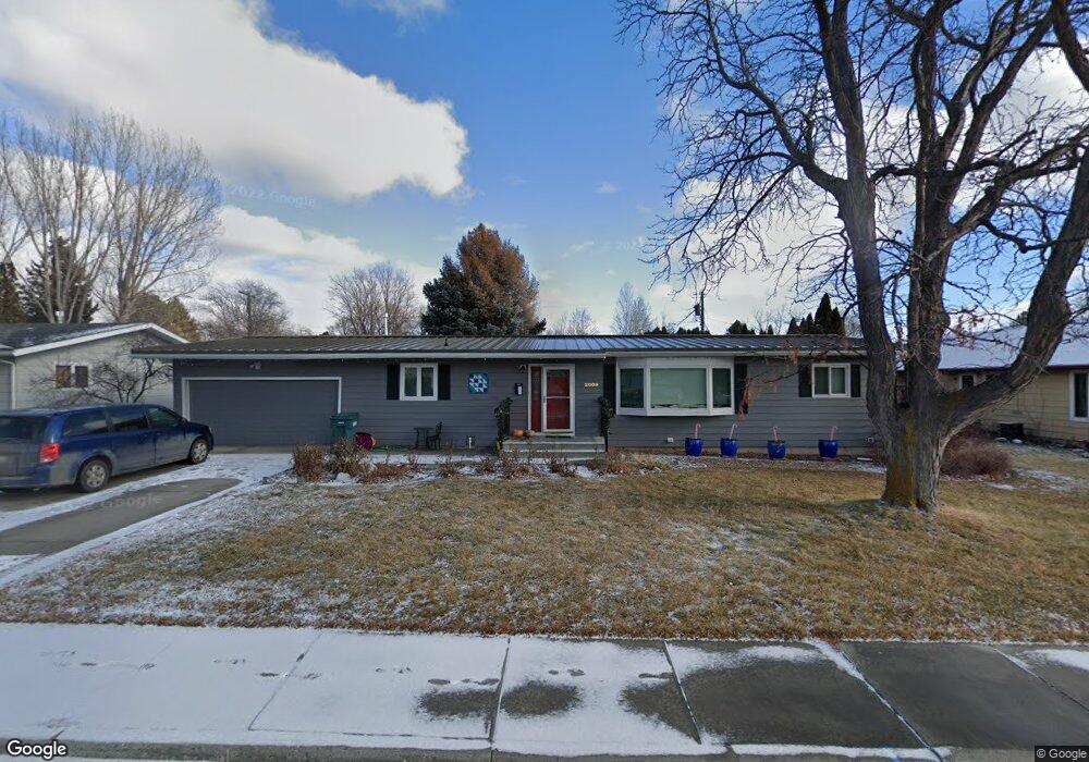
2009 16th St W Billings, MT 59102
North Central Billings NeighborhoodEstimated Value: $401,000 - $474,000
4
Beds
3
Baths
3,240
Sq Ft
$135/Sq Ft
Est. Value
About This Home
This home is located at 2009 16th St W, Billings, MT 59102 and is currently estimated at $437,670, approximately $135 per square foot. 2009 16th St W is a home located in Yellowstone County with nearby schools including Rose Park School, Lewis & Clark Junior High School, and Billings Senior High School.
Ownership History
Date
Name
Owned For
Owner Type
Purchase Details
Closed on
Jun 10, 2021
Sold by
Stevenson Gary M
Bought by
Feldner Adam
Current Estimated Value
Home Financials for this Owner
Home Financials are based on the most recent Mortgage that was taken out on this home.
Original Mortgage
$300,000
Outstanding Balance
$270,427
Interest Rate
2.9%
Mortgage Type
New Conventional
Estimated Equity
$167,243
Purchase Details
Closed on
Jun 29, 2010
Sold by
Erickson Dennis and Erickson Debra
Bought by
Stevenson Gary M and Stevenson Janet
Home Financials for this Owner
Home Financials are based on the most recent Mortgage that was taken out on this home.
Original Mortgage
$180,000
Interest Rate
4.91%
Mortgage Type
New Conventional
Create a Home Valuation Report for This Property
The Home Valuation Report is an in-depth analysis detailing your home's value as well as a comparison with similar homes in the area
Home Values in the Area
Average Home Value in this Area
Purchase History
| Date | Buyer | Sale Price | Title Company |
|---|---|---|---|
| Feldner Adam | -- | None Listed On Document | |
| Stevenson Gary M | -- | None Available |
Source: Public Records
Mortgage History
| Date | Status | Borrower | Loan Amount |
|---|---|---|---|
| Open | Feldner Adam | $300,000 | |
| Previous Owner | Stevenson Gary M | $180,000 |
Source: Public Records
Tax History
| Year | Tax Paid | Tax Assessment Tax Assessment Total Assessment is a certain percentage of the fair market value that is determined by local assessors to be the total taxable value of land and additions on the property. | Land | Improvement |
|---|---|---|---|---|
| 2025 | $3,898 | $415,900 | $52,375 | $363,525 |
| 2024 | $3,898 | $385,800 | $47,645 | $338,155 |
| 2023 | $3,901 | $385,800 | $47,645 | $338,155 |
| 2022 | $3,471 | $300,700 | $0 | $0 |
| 2021 | $3,216 | $292,400 | $0 | $0 |
| 2020 | $3,095 | $267,900 | $0 | $0 |
| 2019 | $2,961 | $267,900 | $0 | $0 |
| 2018 | $2,752 | $241,800 | $0 | $0 |
| 2017 | $2,238 | $241,800 | $0 | $0 |
| 2016 | $2,597 | $236,800 | $0 | $0 |
| 2015 | $2,542 | $236,800 | $0 | $0 |
| 2014 | $2,105 | $101,707 | $0 | $0 |
Source: Public Records
Map
Nearby Homes
- 2095 17th St W
- 1409 Colton Blvd
- 1405 Avenue F
- 1329 Parkhill Dr
- 36 Heatherwood Ln
- 1322 Avenue F
- 41 Heatherwood Ln
- 2202 13th St W
- 1400 Poly Dr Unit 4D
- 1237 Avenue E
- 1833 Iris Ln
- 13 Stanford Ct
- 1220 Ponderosa Dr
- 2118 Dahlia Ln
- 2225 12th St W
- 1837 Avenue B
- 1124 Parkhill Dr
- 1238 Princeton Ave
- 1119 O Malley Dr
- 2807 Terrace Dr
- 2015 16th St W
- 1541 Parkhill Dr
- 2010 Lamar Dr
- 2018 Lamar Dr
- 2017 16th St W
- 1531 Parkhill Dr
- 2010 16th St W
- 2020 16th St W
- 1603 Parkhill Dr
- 2020 Lamar Dr
- 2024 16th St W
- 1540 Colton Blvd
- 1530 Parkhill Dr
- 2026 Lamar Dr
- 1528 Parkhill Dr
- 1604 Parkhill Dr
- 2030 16th St W
- 2009 Lamar Dr
- 1524 Parkhill Dr
- 2021 Plaza Dr
Your Personal Tour Guide
Ask me questions while you tour the home.