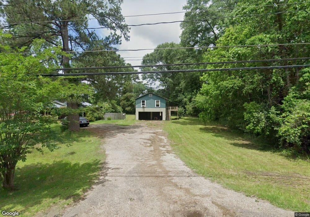
2009 Airport Dr Laurel, MS 39440
Estimated Value: $57,787 - $84,000
Studio
--
Bath
690
Sq Ft
$108/Sq Ft
Est. Value
About This Home
This home is located at 2009 Airport Dr, Laurel, MS 39440 and is currently estimated at $74,697, approximately $108 per square foot. 2009 Airport Dr is a home with nearby schools including Oak Park Elementary School, Laurel Middle School, and Laurel High School.
Create a Home Valuation Report for This Property
The Home Valuation Report is an in-depth analysis detailing your home's value as well as a comparison with similar homes in the area
Tax History
| Year | Tax Paid | Tax Assessment Tax Assessment Total Assessment is a certain percentage of the fair market value that is determined by local assessors to be the total taxable value of land and additions on the property. | Land | Improvement |
|---|---|---|---|---|
| 2025 | $643 | $3,654 | $0 | $0 |
| 2024 | $599 | $3,434 | $0 | $0 |
| 2023 | $599 | $3,434 | $0 | $0 |
| 2022 | $594 | $3,434 | $0 | $0 |
| 2021 | $597 | $3,434 | $0 | $0 |
| 2020 | $587 | $3,351 | $0 | $0 |
| 2019 | $585 | $3,321 | $0 | $0 |
| 2018 | $585 | $3,321 | $0 | $0 |
| 2017 | $571 | $3,321 | $0 | $0 |
| 2016 | $479 | $2,898 | $0 | $0 |
| 2015 | -- | $2,898 | $0 | $0 |
Source: Public Records
Map
Nearby Homes
- 0 Ellisville Blvd
- 908 Sunflower Dr
- 1013 Wilson Ave
- 951 Poplar Dr
- 915 S 14th Ave
- 1131 Capitol St
- 144 Don Curt Blvd
- 23 Sunset Rd
- 640 S Magnolia St
- 1500 W 1st St
- 104 N 14th Ave
- 1616 W 3rd St
- 6 Larkmeade Ln
- 3294&92 Ellisville Blvd
- 8 Twin Oaks Place
- 119 Melon St
- 1222 W 5th St
- 808 W 5th St
- 456 Short 7th Ave
- 000 U S 84
- 2023 Airport Dr
- 2027 Airport Dr
- 2038 Airport Dr
- 2045 Airport Dr
- 2011 Airport Dr
- 2020 Airport Dr
- 2018 Airport Dr
- 2047 Airport Dr
- 2012 Airport Dr
- 2028 Airport Dr
- 2016 Rebecca St
- 2008 Rebecca St
- 2032 Rebecca St
- 2050 Airport Dr
- 2040 Rebecca St
- 2004 Rebecca St
- 2007 Airport Dr
- 2008 Airport Dr
- 2059 Airport Dr
- 21 Crosby Dr
Your Personal Tour Guide
Ask me questions while you tour the home.