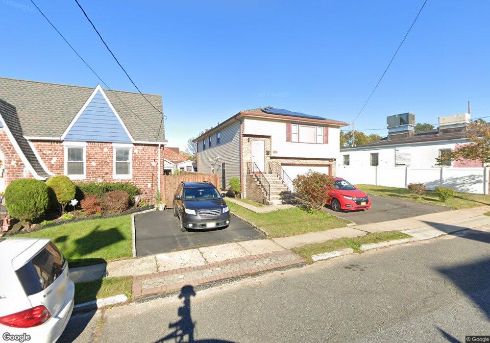
2009 High St Union, NJ 07083
Union NeighborhoodEstimated Value: $636,000 - $686,563
Studio
--
Bath
--
Sq Ft
5,576
Sq Ft Lot
About This Home
This home is located at 2009 High St, Union, NJ 07083 and is currently estimated at $660,641. 2009 High St is a home located in Union County with nearby schools including Connecticut Farms Elementary School, Union High School, and St Michael Parish School.
Ownership History
Date
Name
Owned For
Owner Type
Purchase Details
Closed on
Apr 28, 2011
Sold by
Taylor Lee Addie
Bought by
Mallett Brown Delores and Mallett Delores
Current Estimated Value
Purchase Details
Closed on
Apr 27, 2004
Sold by
Pereira Mario
Bought by
Mallett Delores and Taylor Lee
Home Financials for this Owner
Home Financials are based on the most recent Mortgage that was taken out on this home.
Original Mortgage
$271,200
Interest Rate
5.36%
Create a Home Valuation Report for This Property
The Home Valuation Report is an in-depth analysis detailing your home's value as well as a comparison with similar homes in the area
Home Values in the Area
Average Home Value in this Area
Purchase History
| Date | Buyer | Sale Price | Title Company |
|---|---|---|---|
| Mallett Brown Delores | -- | None Available | |
| Mallett Delores | $339,000 | -- |
Source: Public Records
Mortgage History
| Date | Status | Borrower | Loan Amount |
|---|---|---|---|
| Previous Owner | Mallett Delores | $271,200 |
Source: Public Records
Tax History
| Year | Tax Paid | Tax Assessment Tax Assessment Total Assessment is a certain percentage of the fair market value that is determined by local assessors to be the total taxable value of land and additions on the property. | Land | Improvement |
|---|---|---|---|---|
| 2025 | $11,690 | $57,300 | $17,300 | $40,000 |
| 2024 | $11,333 | $52,300 | $17,300 | $35,000 |
| 2023 | $11,333 | $52,300 | $17,300 | $35,000 |
| 2022 | $10,939 | $52,300 | $17,300 | $35,000 |
| 2021 | $10,674 | $52,300 | $17,300 | $35,000 |
| 2020 | $10,461 | $52,300 | $17,300 | $35,000 |
| 2019 | $10,320 | $52,300 | $17,300 | $35,000 |
| 2018 | $10,145 | $52,300 | $17,300 | $35,000 |
| 2017 | $9,995 | $52,300 | $17,300 | $35,000 |
| 2016 | $9,751 | $52,300 | $17,300 | $35,000 |
| 2015 | $9,589 | $52,300 | $17,300 | $35,000 |
| 2014 | $9,374 | $52,300 | $17,300 | $35,000 |
Source: Public Records
Map
Nearby Homes
- 1244 Grandview Ave
- 2047 Gless Ave
- 2011 Kay Ave
- 2096 Lentz Ave
- 1044 Grandview Ave
- 1263 Coolidge Ave
- 1239 Victor Ave
- 2144 Tyler St
- 1011 Adams Ave
- 1395 Isabella Ave
- 1265 Shetland Dr
- 987 Floyd Terrace
- 1841 Cider Mill Rd
- 1801 Quaker Way
- 2200 Vauxhall Rd
- 1218 Schmidt Ave
- 1779 Oak Hill Dr
- 1010 Falls Terrace
- 1584 Walker Ave
- 2273 Balmoral Ave
- 2015 High St
- 2019 High St
- 1252 Stuyvesant Ave
- 2021 High St
- 2012 Gless Ave
- 2016 Gless Ave
- 2018 Gless Ave
- 2027 High St
- 2020 High St
- 2020 Gless Ave
- 2024 Gless Ave
- 2031 High St
- 1241 Kirkman Place
- 2035 High St
- 2026 High St
- 2011 Gless Ave
- 2011 Gless Ave Unit A
- 2013 Gless Ave
- 2026 Gless Ave
- 1242 Kirkman Place
Your Personal Tour Guide
Ask me questions while you tour the home.