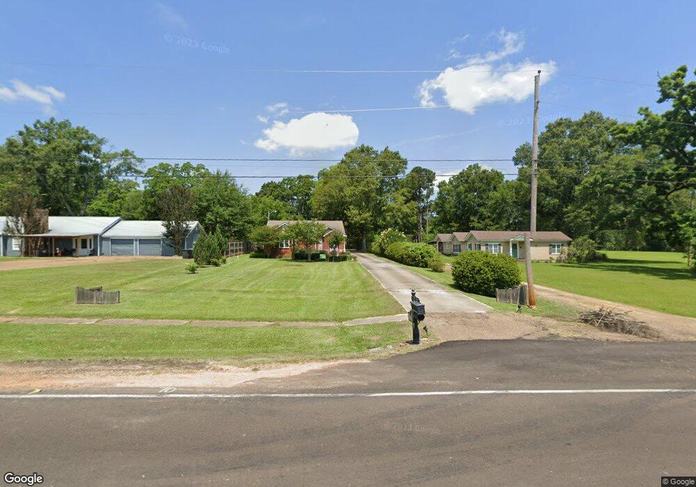
2009 Highway 51 Wesson, MS 39191
Estimated Value: $192,831 - $208,000
--
Bed
2
Baths
1,988
Sq Ft
$101/Sq Ft
Est. Value
About This Home
This home is located at 2009 Highway 51, Wesson, MS 39191 and is currently estimated at $199,958, approximately $100 per square foot. 2009 Highway 51 is a home located in Copiah County.
Ownership History
Date
Name
Owned For
Owner Type
Purchase Details
Closed on
Mar 5, 2021
Sold by
Smith Nena J
Bought by
Locke Barbara H
Current Estimated Value
Purchase Details
Closed on
Aug 7, 2014
Sold by
Brian J Brian J
Bought by
Cox Marjorie G and Smith Nena J
Home Financials for this Owner
Home Financials are based on the most recent Mortgage that was taken out on this home.
Original Mortgage
$86,400
Interest Rate
4.19%
Mortgage Type
New Conventional
Purchase Details
Closed on
Dec 12, 2013
Sold by
Greer James Larry
Bought by
Mitchell Brian J
Home Financials for this Owner
Home Financials are based on the most recent Mortgage that was taken out on this home.
Original Mortgage
$107,142
Interest Rate
4.25%
Mortgage Type
New Conventional
Create a Home Valuation Report for This Property
The Home Valuation Report is an in-depth analysis detailing your home's value as well as a comparison with similar homes in the area
Home Values in the Area
Average Home Value in this Area
Purchase History
| Date | Buyer | Sale Price | Title Company |
|---|---|---|---|
| Locke Barbara H | -- | None Listed On Document | |
| Cox Marjorie G | $106,400 | -- | |
| Cox Marjorie G | $106,400 | -- | |
| Mitchell Brian J | -- | -- | |
| Mitchell Brian J | -- | -- |
Source: Public Records
Mortgage History
| Date | Status | Borrower | Loan Amount |
|---|---|---|---|
| Previous Owner | Cox Marjorie G | $86,400 | |
| Previous Owner | Mitchell Brian J | $107,142 |
Source: Public Records
Tax History Compared to Growth
Tax History
| Year | Tax Paid | Tax Assessment Tax Assessment Total Assessment is a certain percentage of the fair market value that is determined by local assessors to be the total taxable value of land and additions on the property. | Land | Improvement |
|---|---|---|---|---|
| 2025 | $419 | $11,828 | $0 | $0 |
| 2024 | $419 | $10,428 | $0 | $0 |
| 2023 | $423 | $10,428 | $0 | $0 |
| 2022 | $427 | $10,428 | $0 | $0 |
| 2021 | $2,118 | $14,891 | $0 | $0 |
| 2020 | $311 | $9,652 | $0 | $0 |
| 2019 | $314 | $9,652 | $0 | $0 |
| 2018 | $236 | $9,652 | $0 | $0 |
| 2017 | $222 | $9,652 | $0 | $0 |
| 2016 | $222 | $9,571 | $0 | $0 |
| 2015 | $747 | $9,571 | $0 | $0 |
| 2014 | $747 | $9,571 | $0 | $0 |
Source: Public Records
Map
Nearby Homes
- 1025 West St
- 0 Wooden St
- 000 Brownswell Rd
- 1119 Milltowne Dr
- 0 00 Milltowne Dr
- 1029 Loom St
- 0 Lee Beall Cir Unit 4126382
- 0 Milltownte Dr
- 1061 3rd St
- 3066 New Sight Dr NE
- 2548 Furrs Mill Dr NE
- 1000 Old Sylvarena Rd
- 1005 Tarver Ln
- 1015 Tarver Ln
- #1 Anderson Rd
- #4 Anderson Rd
- 1008 Pleasant Ln
- 2769 Beard Rd NE
- 00 Pleasant Ln
- 4 Pleasant Ln