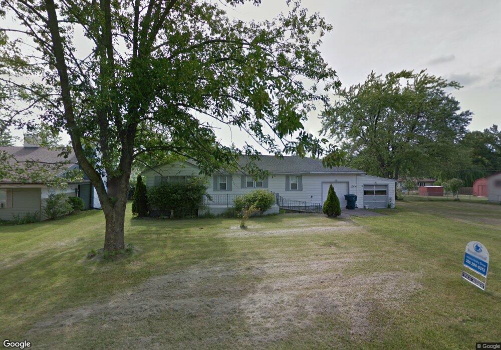
2009 N Ault Ave Muncie, IN 47303
Estimated Value: $43,000 - $106,659
2
Beds
1
Bath
1,073
Sq Ft
$71/Sq Ft
Est. Value
About This Home
This home is located at 2009 N Ault Ave, Muncie, IN 47303 and is currently estimated at $76,665, approximately $71 per square foot. 2009 N Ault Ave is a home located in Delaware County with nearby schools including Longfellow Elementary School, Muncie Central High School, and Northside Middle School.
Ownership History
Date
Name
Owned For
Owner Type
Purchase Details
Closed on
Nov 18, 2025
Sold by
Pierce & Pierce Holdings Llc
Bought by
Romero Elsy N Mejia and Romero Salvador Mejia
Current Estimated Value
Purchase Details
Closed on
Feb 20, 2025
Sold by
May Darrell
Bought by
Pierce & Pierce Holdings Llc and Lima
Purchase Details
Closed on
Sep 6, 2022
Sold by
May Darrell E and Buck Ashley
Bought by
May Darrell
Purchase Details
Closed on
Feb 7, 2022
Sold by
Harrold Marsha K
Bought by
May Darrell E
Purchase Details
Closed on
Jul 12, 2005
Sold by
Hiatt Walter J
Bought by
Harrold Marsha K
Create a Home Valuation Report for This Property
The Home Valuation Report is an in-depth analysis detailing your home's value as well as a comparison with similar homes in the area
Purchase History
| Date | Buyer | Sale Price | Title Company |
|---|---|---|---|
| Romero Elsy N Mejia | -- | None Listed On Document | |
| Pierce & Pierce Holdings Llc | -- | None Listed On Document | |
| May Darrell | -- | None Listed On Document | |
| May Darrell E | -- | None Listed On Document | |
| Harrold Marsha K | -- | None Available |
Source: Public Records
Tax History
| Year | Tax Paid | Tax Assessment Tax Assessment Total Assessment is a certain percentage of the fair market value that is determined by local assessors to be the total taxable value of land and additions on the property. | Land | Improvement |
|---|---|---|---|---|
| 2025 | $506 | $23,100 | $6,500 | $16,600 |
| 2024 | $506 | $19,400 | $6,500 | $12,900 |
| 2023 | $4,264 | $19,400 | $6,500 | $12,900 |
| 2022 | $455 | $38,200 | $7,300 | $30,900 |
| 2021 | $518 | $41,500 | $12,000 | $29,500 |
| 2020 | $574 | $46,600 | $12,000 | $34,600 |
| 2019 | $561 | $46,600 | $12,000 | $34,600 |
| 2018 | $556 | $48,600 | $14,200 | $34,400 |
| 2017 | $548 | $48,200 | $14,200 | $34,000 |
| 2016 | $1,077 | $47,800 | $14,200 | $33,600 |
| 2014 | $1,029 | $48,700 | $10,600 | $38,100 |
| 2013 | -- | $48,300 | $10,600 | $37,700 |
Source: Public Records
Map
Nearby Homes
- 2108 N Rector Ave
- 1905 N Garnet Ave
- 2808 E Mcgalliard Rd
- 3304 N Dalinda Rd
- 701 N Claypool Rd
- 616 N Edgewood Dr
- 606 N Biltmore Ave
- 2300 N Country Club Rd
- 2000 N Elgin St
- 1007 N Central Ave
- 411 N State St
- 3508 E Wysor St
- 2101 N Macedonia Ave
- 300 N Biltmore Ave
- 305 N Biltmore Ave
- 2204 E Cornell Ave
- 1607 E Butler St
- 103 S Delawanda Ave
- 1720 E Cornell Ave
- 1512 E Dartmouth Ave
- 2005 N Ault Ave
- 2017 N Ault Ave
- 2008 N Manring Ave
- 2101 N Ault Ave
- 2012 N Ault Ave
- 2000 N Manring Ave
- 2008 N Ault Ave
- 2016 N Ault Ave
- 2004 N Ault Ave
- 2100 N Ault Ave
- 2105 N Ault Ave
- 2300 N Ault Ave
- 1909 N Ault Ave
- 2013 N Watt Ave
- 2009 N Watt Ave
- 2001 N Manring Ave
- 2017 N Watt Ave
- 1908 N Manring Ave
- 2005 N Watt Ave
- 2016 N Shirey Rd
Your Personal Tour Guide
Ask me questions while you tour the home.