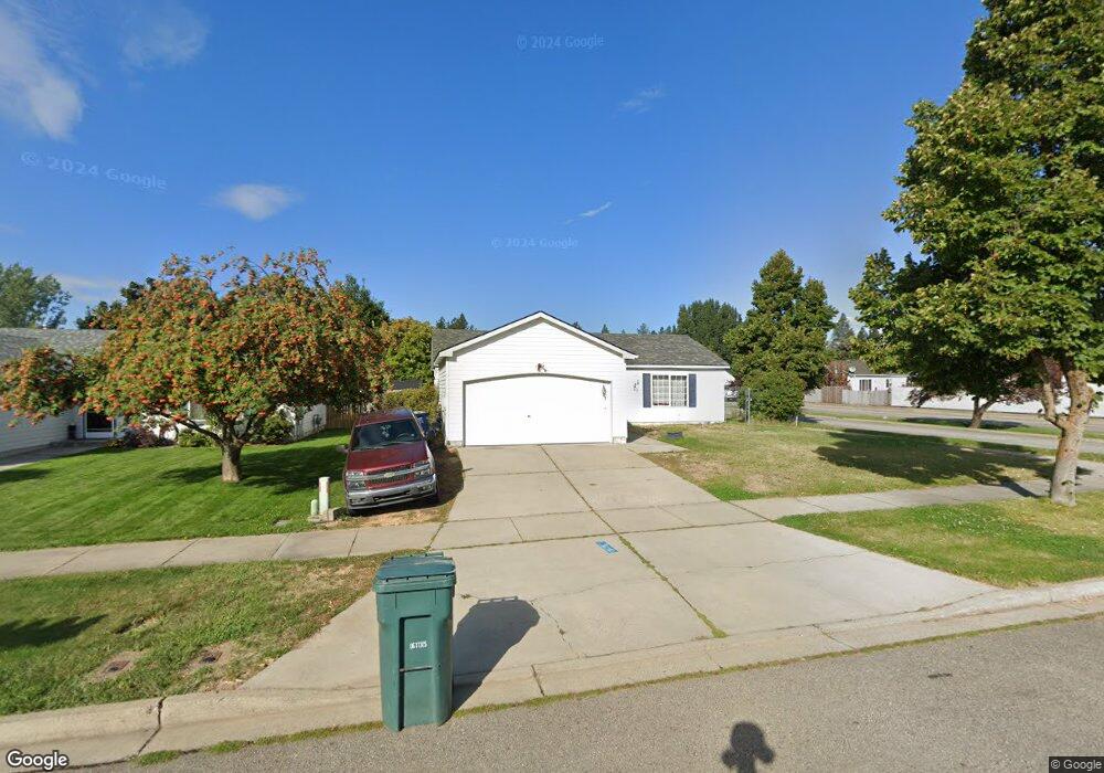
2009 N Blossom Ct Post Falls, ID 83854
North Prairie NeighborhoodEstimated Value: $386,000 - $410,000
3
Beds
1
Bath
1,144
Sq Ft
$345/Sq Ft
Est. Value
About This Home
This home is located at 2009 N Blossom Ct, Post Falls, ID 83854 and is currently estimated at $394,254, approximately $344 per square foot. 2009 N Blossom Ct is a home located in Kootenai County with nearby schools including Prairie View Elementary School, Post Falls Middle School, and Post Falls High School.
Ownership History
Date
Name
Owned For
Owner Type
Purchase Details
Closed on
May 31, 2017
Sold by
Shillam David P and Shillam Kimberley A
Bought by
Rider Bryan A and Rider Lisa M
Current Estimated Value
Home Financials for this Owner
Home Financials are based on the most recent Mortgage that was taken out on this home.
Original Mortgage
$142,373
Outstanding Balance
$118,262
Interest Rate
3.97%
Mortgage Type
FHA
Estimated Equity
$275,992
Purchase Details
Closed on
May 28, 2015
Sold by
Shilliam Kimberly A and Mullen Kimberly
Bought by
Shilliam David P and Shilliam Kimberly A
Home Financials for this Owner
Home Financials are based on the most recent Mortgage that was taken out on this home.
Original Mortgage
$93,750
Interest Rate
3.62%
Mortgage Type
VA
Create a Home Valuation Report for This Property
The Home Valuation Report is an in-depth analysis detailing your home's value as well as a comparison with similar homes in the area
Home Values in the Area
Average Home Value in this Area
Purchase History
| Date | Buyer | Sale Price | Title Company |
|---|---|---|---|
| Rider Bryan A | -- | Kootenai County Title Compan | |
| Shilliam David P | -- | First American Title |
Source: Public Records
Mortgage History
| Date | Status | Borrower | Loan Amount |
|---|---|---|---|
| Open | Rider Bryan A | $142,373 | |
| Previous Owner | Shilliam David P | $93,750 |
Source: Public Records
Tax History Compared to Growth
Tax History
| Year | Tax Paid | Tax Assessment Tax Assessment Total Assessment is a certain percentage of the fair market value that is determined by local assessors to be the total taxable value of land and additions on the property. | Land | Improvement |
|---|---|---|---|---|
| 2024 | $1,251 | $343,390 | $155,250 | $188,140 |
| 2023 | $1,251 | $360,640 | $172,500 | $188,140 |
| 2022 | $1,685 | $392,624 | $172,500 | $220,124 |
| 2021 | $1,354 | $254,140 | $115,000 | $139,140 |
| 2020 | $1,209 | $201,230 | $90,000 | $111,230 |
| 2019 | $1,220 | $184,540 | $80,000 | $104,540 |
| 2018 | $1,174 | $160,340 | $65,000 | $95,340 |
| 2017 | $2,163 | $141,160 | $48,000 | $93,160 |
| 2016 | $1,090 | $128,320 | $40,000 | $88,320 |
| 2015 | $1,007 | $115,790 | $34,000 | $81,790 |
| 2013 | $990 | $105,310 | $31,500 | $73,810 |
Source: Public Records
Map
Nearby Homes
- 2011 N Quail Run Blvd
- 721 E 20th Ave
- 912 E Shasta Ave
- 709 E 20th Ave
- 2416 N Mackenzie Dr
- 1802 N Windrose Ct
- 2382 N Alfalfa Loop
- 2680 N Top Flight Dr
- 2644 N Mackenzie Dr
- 2815 N Sand Trap Way
- 308 E 22nd Ave
- 2240 N Syringa St
- 2248 N Syringa St
- 1545 E Legion St
- 2441 N Henry St
- 2227 N Chaffee St
- 2246 N Chaffee St
- 2218 N Chaffee St
- 2230 N Chaffee St
- 2238 N Chaffee St
- 2009 Catskill Ct
- 2007 N Blossom Ct
- 2008 N Cabinet St
- 2005 Catskill Ct
- NKA N Blossom Ct
- 2003 Catskill Ct
- 2006 N Cabinet St
- 2008 Cabinet Ct
- 2006 Cabinet Ct
- tbd Tiatan St
- 2004 N Cabinet St
- 2101 Catskill Ct
- 2004 Cabinet Ct
- 2008 N Blossom Ct
- 2006 Catskill Ct
- 2006 N Blossom Ct
- 2004 Catskill Ct
- 901 E Teton Ave
- 2003 N Blossom Ct
- 2100 N Cabinet St