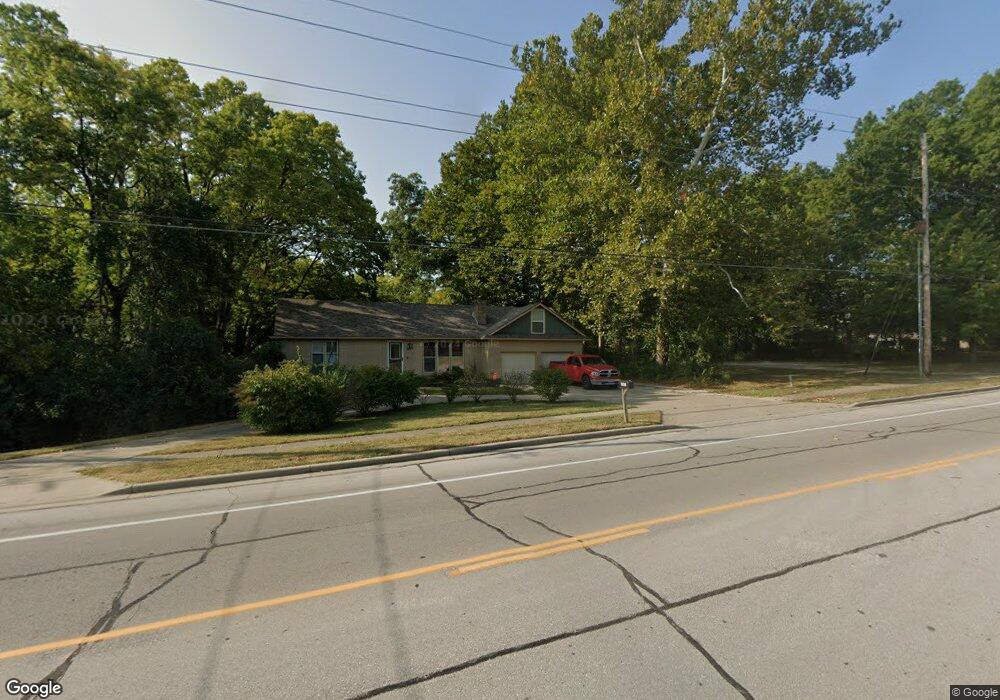
2009 NW Chipman Rd Lees Summit, MO 64081
Estimated Value: $245,000 - $303,000
3
Beds
3
Baths
950
Sq Ft
$283/Sq Ft
Est. Value
About This Home
This home is located at 2009 NW Chipman Rd, Lees Summit, MO 64081 and is currently estimated at $268,918, approximately $283 per square foot. 2009 NW Chipman Rd is a home located in Jackson County with nearby schools including Cedar Creek Elementary School, Pleasant Lea Middle School, and Lee's Summit Senior High School.
Ownership History
Date
Name
Owned For
Owner Type
Purchase Details
Closed on
Sep 12, 2005
Sold by
Johnson Mitchell and Johnson Patricia
Bought by
Ricklefs Joseph R
Current Estimated Value
Home Financials for this Owner
Home Financials are based on the most recent Mortgage that was taken out on this home.
Original Mortgage
$116,800
Outstanding Balance
$65,017
Interest Rate
6.5%
Mortgage Type
Fannie Mae Freddie Mac
Estimated Equity
$203,901
Purchase Details
Closed on
Feb 22, 2000
Sold by
Stephens Harvey A and Stephens Vickie L
Bought by
Ginther Mary Patricia
Home Financials for this Owner
Home Financials are based on the most recent Mortgage that was taken out on this home.
Original Mortgage
$112,500
Interest Rate
8.19%
Mortgage Type
Purchase Money Mortgage
Create a Home Valuation Report for This Property
The Home Valuation Report is an in-depth analysis detailing your home's value as well as a comparison with similar homes in the area
Home Values in the Area
Average Home Value in this Area
Purchase History
| Date | Buyer | Sale Price | Title Company |
|---|---|---|---|
| Ricklefs Joseph R | -- | -- | |
| Ginther Mary Patricia | -- | Chicago Title Co |
Source: Public Records
Mortgage History
| Date | Status | Borrower | Loan Amount |
|---|---|---|---|
| Open | Ricklefs Joseph R | $116,800 | |
| Previous Owner | Ginther Mary Patricia | $112,500 |
Source: Public Records
Tax History
| Year | Tax Paid | Tax Assessment Tax Assessment Total Assessment is a certain percentage of the fair market value that is determined by local assessors to be the total taxable value of land and additions on the property. | Land | Improvement |
|---|---|---|---|---|
| 2025 | $2,291 | $32,735 | $15,563 | $17,172 |
| 2024 | $2,274 | $31,730 | $25,834 | $5,896 |
| 2023 | $2,274 | $31,730 | $5,896 | $25,834 |
| 2022 | $2,086 | $25,840 | $4,212 | $21,628 |
| 2021 | $2,129 | $25,840 | $4,212 | $21,628 |
| 2020 | $1,892 | $22,740 | $4,212 | $18,528 |
| 2019 | $1,841 | $22,740 | $4,212 | $18,528 |
| 2018 | $1,726 | $19,791 | $3,666 | $16,125 |
| 2017 | $1,726 | $19,791 | $3,666 | $16,125 |
| 2016 | $1,700 | $19,296 | $3,179 | $16,117 |
Source: Public Records
Map
Nearby Homes
- 2122 NW Ashurst Dr
- 433 NW Kaylea Ct
- 334 NW Ambersham Dr
- 130 NW Ambersham Dr
- 2070 NW O'Brien Rd
- 2086 NW O'Brien Rd
- 2090 NW O'Brien Rd
- 2123 NW Killarney Ln
- 2127 NW Killarney Ln
- 2214 NW Killarney Ln
- 209 NW Cody Dr
- 955 NW High Point Dr
- 2635 NW Ashurst Ln
- 2032 SW British Dr
- 209 SW Pryor Rd
- 626 NW Village Dr
- 614 NW Fair Ln
- 200 SW Yost Ave
- 248 SW Winterpark Cir
- 504 NW Holly Ln
- 2011 NW Chipman Rd
- 2010 NW Chipman Rd
- 2014 NW Chipman Rd
- 2013 NW Chipman Rd
- 2001 NW Chipman Rd
- 2016 NW Chipman Rd
- 1915 NW Chipman Rd Unit A
- 660 NW Brookhaven Dr
- 661 NW Brookhaven Dr
- 2020 NW Chipman Rd
- 657 NW Brookhaven Dr
- 656 NW Brookhaven Dr
- 1913 NW Chipman Rd
- 2100 NW Chipman Rd
- 653 NW Brookhaven Dr
- 2200 NW Wellington Ct
- 652 NW Brookhaven Dr
- 2204 NW Wellington Ct
- 1909 NW Chipman Rd
- 649 NW Brookhaven Dr
Your Personal Tour Guide
Ask me questions while you tour the home.