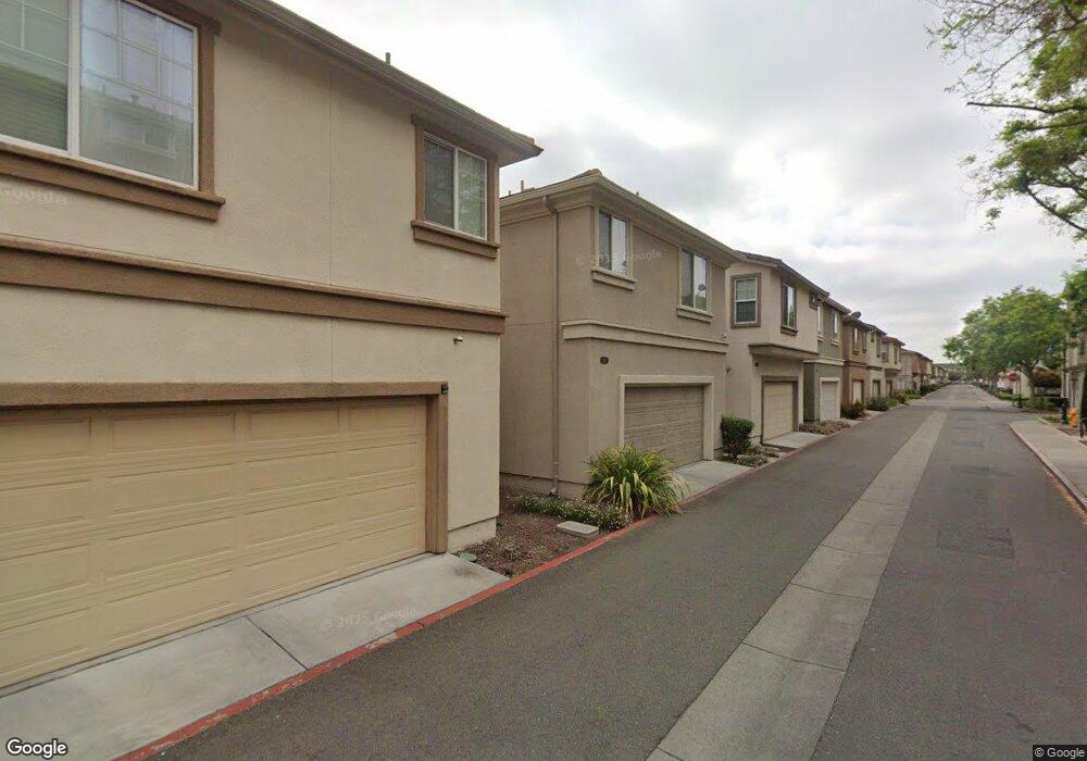
2009 Parkhurst St Unit 459 Hayward, CA 94541
Burbank NeighborhoodEstimated Value: $913,000 - $1,346,000
4
Beds
2
Baths
2,105
Sq Ft
$531/Sq Ft
Est. Value
About This Home
This home is located at 2009 Parkhurst St Unit 459, Hayward, CA 94541 and is currently estimated at $1,117,614, approximately $530 per square foot. 2009 Parkhurst St Unit 459 is a home located in Alameda County with nearby schools including Burbank Elementary School, Winton Middle School, and Hayward High School.
Ownership History
Date
Name
Owned For
Owner Type
Purchase Details
Closed on
Jul 5, 2011
Sold by
Kb Home South Bay Inc
Bought by
Faalam Grace and Faalam Eduard
Current Estimated Value
Home Financials for this Owner
Home Financials are based on the most recent Mortgage that was taken out on this home.
Original Mortgage
$466,070
Outstanding Balance
$320,491
Interest Rate
4.5%
Mortgage Type
FHA
Estimated Equity
$797,123
Create a Home Valuation Report for This Property
The Home Valuation Report is an in-depth analysis detailing your home's value as well as a comparison with similar homes in the area
Home Values in the Area
Average Home Value in this Area
Purchase History
| Date | Buyer | Sale Price | Title Company |
|---|---|---|---|
| Faalam Grace | $478,500 | First American Title Company |
Source: Public Records
Mortgage History
| Date | Status | Borrower | Loan Amount |
|---|---|---|---|
| Open | Faalam Grace | $466,070 |
Source: Public Records
Tax History
| Year | Tax Paid | Tax Assessment Tax Assessment Total Assessment is a certain percentage of the fair market value that is determined by local assessors to be the total taxable value of land and additions on the property. | Land | Improvement |
|---|---|---|---|---|
| 2025 | $8,250 | $593,488 | $196,185 | $404,303 |
| 2024 | $8,250 | $581,717 | $192,339 | $396,378 |
| 2023 | $8,118 | $577,176 | $188,569 | $388,607 |
| 2022 | $7,955 | $558,859 | $184,872 | $380,987 |
| 2021 | $7,886 | $547,767 | $181,248 | $373,519 |
| 2020 | $7,809 | $549,083 | $179,391 | $369,692 |
| 2019 | $7,863 | $538,320 | $175,874 | $362,446 |
| 2018 | $7,434 | $527,769 | $172,427 | $355,342 |
| 2017 | $7,282 | $517,423 | $169,047 | $348,376 |
| 2016 | $6,921 | $507,277 | $165,732 | $341,545 |
| 2015 | $6,800 | $499,661 | $163,244 | $336,417 |
| 2014 | $6,367 | $489,875 | $160,047 | $329,828 |
Source: Public Records
Map
Nearby Homes
- 589 Staley Ave
- 3092 Madsen St
- 484 B St
- 22964 Alice St
- 537 Dean St
- 406 Craven Ct
- 568 Dean St
- 257 Poplar Ave
- 462 Craven Ct
- 22876 Charing St
- 188 Sunset Blvd
- 710 City Walk Place Unit 3
- 22873 Kingsford Way
- 22894 Kingsford Way
- 728 City Walk Place Unit 4
- 21806 Meekland Ave
- 742 B St
- 22357 S Garden Ave
- 22716 Atherton St Unit 30
- 245 Spring Harvest Rd
- 2007 Parkhurst St
- 2005 Parkhurst St
- 2011 Parkhurst St Unit 458
- 2001 Parkhurst St Unit 463
- 2013 Parkhurst St Unit 457
- 2003 Parkhurst St Unit 462
- 2017 Parkhurst St
- 167 Burbank St
- 137 Burbank St
- 216 Sullivan Way
- 226 Sullivan Way
- 224 Sullivan Way
- 161 Burbank St
- 2008 Jubilee Dr
- 123 Burbank St
- 131 Burbank St
- 133 Burbank St
- 2004 Jubilee Dr
- 165 Burbank St
- 262 Sullivan Way
Your Personal Tour Guide
Ask me questions while you tour the home.