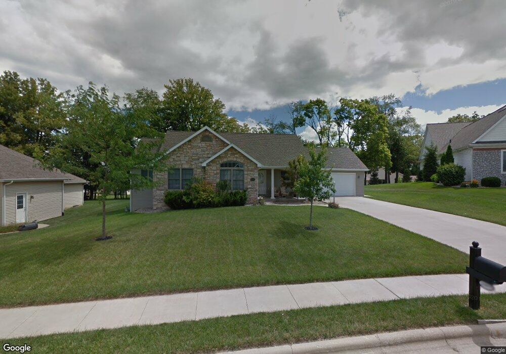
2009 Pheasant Ridge Dr Warsaw, IN 46580
Estimated Value: $348,790 - $387,000
4
Beds
3
Baths
1,529
Sq Ft
$241/Sq Ft
Est. Value
About This Home
This home is located at 2009 Pheasant Ridge Dr, Warsaw, IN 46580 and is currently estimated at $367,948, approximately $240 per square foot. 2009 Pheasant Ridge Dr is a home located in Kosciusko County with nearby schools including Eisenhower Elementary School, Edgewood Middle School, and Warsaw Community High School.
Ownership History
Date
Name
Owned For
Owner Type
Purchase Details
Closed on
May 31, 2006
Sold by
Dupre Adrian Raymond and Dupre Jennifer Carr
Bought by
Fleming Jason and Fleming Shirley L
Current Estimated Value
Home Financials for this Owner
Home Financials are based on the most recent Mortgage that was taken out on this home.
Original Mortgage
$183,200
Outstanding Balance
$12,074
Interest Rate
6.62%
Mortgage Type
New Conventional
Estimated Equity
$355,874
Create a Home Valuation Report for This Property
The Home Valuation Report is an in-depth analysis detailing your home's value as well as a comparison with similar homes in the area
Home Values in the Area
Average Home Value in this Area
Purchase History
| Date | Buyer | Sale Price | Title Company |
|---|---|---|---|
| Fleming Jason | -- | None Available |
Source: Public Records
Mortgage History
| Date | Status | Borrower | Loan Amount |
|---|---|---|---|
| Open | Fleming Jason | $183,200 |
Source: Public Records
Tax History Compared to Growth
Tax History
| Year | Tax Paid | Tax Assessment Tax Assessment Total Assessment is a certain percentage of the fair market value that is determined by local assessors to be the total taxable value of land and additions on the property. | Land | Improvement |
|---|---|---|---|---|
| 2024 | $3,088 | $298,400 | $34,000 | $264,400 |
| 2023 | $3,080 | $296,500 | $34,000 | $262,500 |
| 2022 | $2,963 | $284,200 | $34,000 | $250,200 |
| 2021 | $2,596 | $248,000 | $34,000 | $214,000 |
| 2020 | $2,495 | $238,200 | $31,300 | $206,900 |
| 2019 | $2,420 | $230,800 | $31,300 | $199,500 |
| 2018 | $2,415 | $229,800 | $31,300 | $198,500 |
| 2017 | $2,303 | $218,800 | $31,300 | $187,500 |
| 2016 | $2,262 | $214,700 | $25,000 | $189,700 |
| 2014 | $2,063 | $206,300 | $25,000 | $181,300 |
| 2013 | $2,063 | $208,300 | $25,000 | $183,300 |
Source: Public Records
Map
Nearby Homes
- 120 Park Ridge Dr
- 2027 Dausha Ct
- 2252 Highlander Dr Unit 51
- 3022 Hemlock Ln Unit 1
- 2241 Laurelwood Dr
- 150 Wagon Wheel Dr
- 155 Wagon Wheel Dr Unit 4
- 215 Longrifle Rd Unit 26
- 145 Longrifle Rd
- 130 Longrifle Rd
- TBD Fruitwood Dr
- 1338 Gable Dr
- 1501 Fisher Ave
- 1314 Gable Dr
- 1544 Meadow Ln
- 1534 Meadow Ln
- 1810 S Briarwood Dr
- 2210 S Clover Ln
- 933 Country Club Ln
- 2416 S Woodland Trail
- 2005 Pheasant Ridge Dr
- 2011 Pheasant Ridge Dr
- 2036 Connors Ct
- 2026 Connors Ct
- 2046 Connors Ct
- 2022 Connors Ct
- 1977 Pheasant Ridge Dr
- 2012 Pheasant Ridge Dr
- 2015 Pheasant Ridge Dr
- 2016 Connors Ct
- 2052 Connors Ct
- 2000 Pheasant Ridge Dr
- 2019 Pheasant Ridge Dr
- 2056 Connors Ct
- 2012 Connors Ct
- 1969 Pheasant Ridge Dr
- 2024 Pheasant Ridge Dr
- 1976 Pheasant Ridge Dr
- 2015 Connors Ct
- 2045 Connors Ct