2009 Spaulding Ln Grinnell, IA 50112
Estimated Value: $431,000 - $550,825
4
Beds
5
Baths
1,950
Sq Ft
$260/Sq Ft
Est. Value
About This Home
This home is located at 2009 Spaulding Ln, Grinnell, IA 50112 and is currently estimated at $506,956, approximately $259 per square foot. 2009 Spaulding Ln is a home with nearby schools including Grinnell Community Senior High School and Central Iowa Christian School.
Ownership History
Date
Name
Owned For
Owner Type
Purchase Details
Closed on
Dec 14, 2021
Sold by
Vander Linden Development Corporation
Bought by
Prairie Pointe Pond Association
Current Estimated Value
Create a Home Valuation Report for This Property
The Home Valuation Report is an in-depth analysis detailing your home's value as well as a comparison with similar homes in the area
Home Values in the Area
Average Home Value in this Area
Purchase History
| Date | Buyer | Sale Price | Title Company |
|---|---|---|---|
| Prairie Pointe Pond Association | -- | None Listed On Document |
Source: Public Records
Tax History
| Year | Tax Paid | Tax Assessment Tax Assessment Total Assessment is a certain percentage of the fair market value that is determined by local assessors to be the total taxable value of land and additions on the property. | Land | Improvement |
|---|---|---|---|---|
| 2025 | $8,372 | $526,780 | $72,610 | $454,170 |
| 2024 | $8,284 | $513,440 | $72,610 | $440,830 |
| 2023 | $8,352 | $513,440 | $72,610 | $440,830 |
| 2022 | $8,352 | $450,600 | $72,610 | $377,990 |
| 2021 | $8,278 | $425,090 | $68,500 | $356,590 |
| 2020 | $8,098 | $425,090 | $68,500 | $356,590 |
| 2019 | $8,220 | $425,090 | $68,500 | $356,590 |
| 2018 | $8,080 | $425,090 | $68,500 | $356,590 |
| 2017 | $8,256 | $425,090 | $68,500 | $356,590 |
| 2016 | $7,562 | $425,090 | $68,500 | $356,590 |
| 2015 | $7,562 | $391,730 | $68,480 | $323,250 |
| 2014 | $7,558 | $391,730 | $68,480 | $323,250 |
Source: Public Records
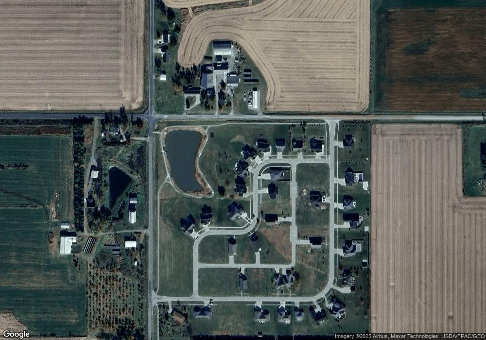
Map
Nearby Homes
- 2002 Spaulding Dr
- 2021 Jewel Dr
- 1928 Jewel Dr
- 1425 Penrose St
- 1527 Summer St
- 1848 9th Ave
- 1421 Hobart St
- 1517 Elm St
- 2010 Country Club Dr
- 1710 Country Club Dr
- 1126 Summer St
- 1620 Broad St
- 2135 Country Club Dr
- 1132 Elm St
- 711 16th Ave Unit U104
- 711 16th Ave Unit U103
- 1027 Summer St
- 1722 Spring St
- 821 8th Ave
- 1003 East St
- 2003 Spaulding Dr
- 2015 Spaulding Ln
- 2021 Spaulding Dr
- 2004 Spaulding Dr
- 2004 Spaulding Dr
- 2018 Spaulding Ln
- 2018 Spaulding Ln
- 2021 Spaulding Ln
- 2004 Spaulding Ln
- 2008 Spaulding Ln
- 2008 Spaulding Ln
- 2027 Spaulding Ln
- 2002 Spaulding Ln
- 1974 Spaulding Dr
- 1969 Spaulding Dr
- 1980 Spaulding Ln
- 2041 Spaulding Ln
- 1957 Spaulding Ln
- 2043 Jewel Dr
- 2047 Jewel Dr
Your Personal Tour Guide
Ask me questions while you tour the home.