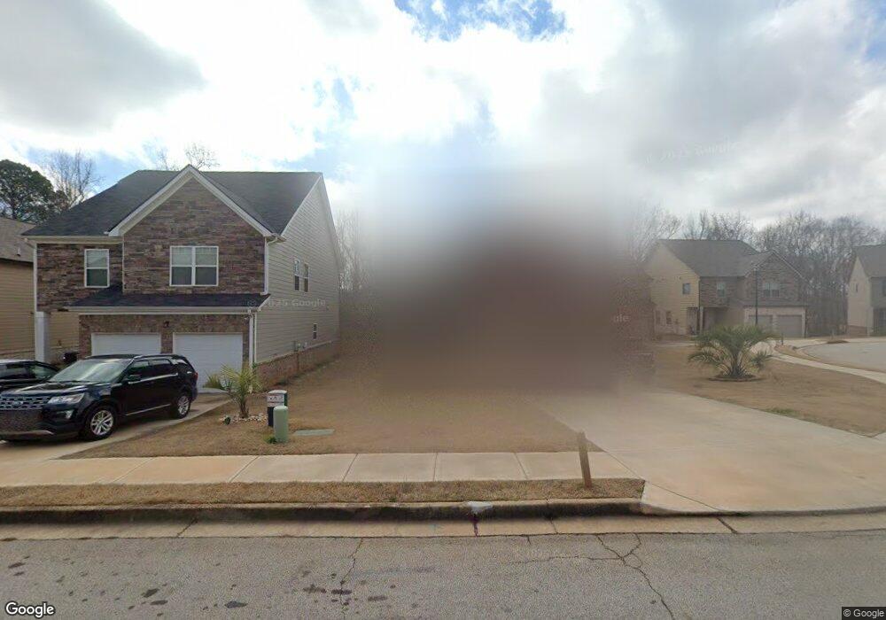
2009 Theberton Trail Unit 205 Locust Grove, GA 30248
Estimated Value: $315,000 - $352,000
4
Beds
3
Baths
2,297
Sq Ft
$144/Sq Ft
Est. Value
About This Home
This home is located at 2009 Theberton Trail Unit 205, Locust Grove, GA 30248 and is currently estimated at $331,334, approximately $144 per square foot. 2009 Theberton Trail Unit 205 is a home located in Henry County with nearby schools including Locust Grove Elementary School, Locust Grove Middle School, and Locust Grove High School.
Ownership History
Date
Name
Owned For
Owner Type
Purchase Details
Closed on
Mar 12, 2020
Sold by
Dr Horton Inc
Bought by
Richards Virginia M
Current Estimated Value
Home Financials for this Owner
Home Financials are based on the most recent Mortgage that was taken out on this home.
Original Mortgage
$215,622
Outstanding Balance
$189,069
Interest Rate
2.99%
Mortgage Type
FHA
Estimated Equity
$142,265
Purchase Details
Closed on
Oct 31, 2018
Sold by
Geosam Capital Us Atlanta Lp
Bought by
Dr Horton Inc
Purchase Details
Closed on
Mar 6, 2013
Sold by
Ameris Bank
Bought by
Geosam Capital Us Lp
Create a Home Valuation Report for This Property
The Home Valuation Report is an in-depth analysis detailing your home's value as well as a comparison with similar homes in the area
Home Values in the Area
Average Home Value in this Area
Purchase History
| Date | Buyer | Sale Price | Title Company |
|---|---|---|---|
| Richards Virginia M | $219,600 | -- | |
| Dr Horton Inc | $2,442,000 | -- | |
| Geosam Capital Us Lp | $225,000 | -- |
Source: Public Records
Mortgage History
| Date | Status | Borrower | Loan Amount |
|---|---|---|---|
| Open | Richards Virginia M | $215,622 |
Source: Public Records
Tax History Compared to Growth
Tax History
| Year | Tax Paid | Tax Assessment Tax Assessment Total Assessment is a certain percentage of the fair market value that is determined by local assessors to be the total taxable value of land and additions on the property. | Land | Improvement |
|---|---|---|---|---|
| 2025 | $4,694 | $128,280 | $16,000 | $112,280 |
| 2024 | $4,694 | $130,240 | $16,000 | $114,240 |
| 2023 | $4,029 | $135,880 | $21,200 | $114,680 |
| 2022 | $4,464 | $121,800 | $21,200 | $100,600 |
| 2021 | $3,243 | $87,840 | $20,379 | $67,461 |
| 2020 | $1,042 | $27,040 | $12,800 | $14,240 |
| 2019 | $368 | $10,000 | $10,000 | $0 |
| 2018 | $311 | $10,000 | $10,000 | $0 |
| 2016 | $109 | $3,000 | $3,000 | $0 |
| 2015 | $128 | $4,000 | $4,000 | $0 |
| 2014 | $44 | $1,169 | $1,169 | $0 |
Source: Public Records
Map
Nearby Homes
- 231 Ferguson Ave
- 239 Ferguson Ave
- 1064 Lear Dr
- 269 Baumgard Way
- 188 Sophie Cir
- 150 Aster Ave
- Cali Plan at Cedar Ridge - Locust Grove Station
- Belfort Plan at Cedar Ridge - Locust Grove Station
- Galen Plan at Cedar Ridge - Locust Grove Station
- Hayden Plan at Cedar Ridge - Locust Grove Station
- Packard Plan at Cedar Ridge - Locust Grove Station
- Flora Plan at Cedar Ridge - Locust Grove Station
- Penwell Plan at Cedar Ridge - Locust Grove Station
- 501 Vervain Dr
- 565 Carleton Place
- 198 Aster Ave
- 505 Vervain Dr
- 608 Lobelia Dr
- 194 Aster Ave
- 191 Aster Ave
- 2009 Theberton Trail
- 2007 Theberton Trail
- 2007 Theberton Trail Unit 204
- 2011 Theberton Trail Unit 206
- 2011 Theberton Trail
- 2013 Theberton Trail
- 2013 Theberton Trail Unit 207
- 2005 Theberton Trail
- 2005 Theberton Trail Unit 203
- 2070 Theberton Trail
- 2088 Theberton Trail
- 2094 Theberton Trail
- 2085 Theberton Trail
- 2092 Theberton Trail
- 2086 Theberton Trail
- 2071 Theberton Trail
- 2081 Theberton Trail
- 2096 Theberton Trail
- 2074 Theberton Trail
- 2087 Theberton Trail