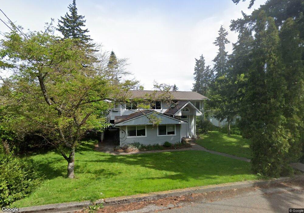
2009 Whatcom St Bellingham, WA 98229
Puget NeighborhoodEstimated Value: $753,306 - $852,000
3
Beds
2
Baths
2,514
Sq Ft
$323/Sq Ft
Est. Value
About This Home
This home is located at 2009 Whatcom St, Bellingham, WA 98229 and is currently estimated at $813,077, approximately $323 per square foot. 2009 Whatcom St is a home located in Whatcom County with nearby schools including Carl Cozier Elementary School, Kulshan Middle School, and Sehome High School.
Ownership History
Date
Name
Owned For
Owner Type
Purchase Details
Closed on
Dec 30, 2002
Sold by
Davidson Curtin C and Davidson Megan
Bought by
Moore Daniel G and Moore Sally S
Current Estimated Value
Home Financials for this Owner
Home Financials are based on the most recent Mortgage that was taken out on this home.
Original Mortgage
$157,600
Interest Rate
5.86%
Create a Home Valuation Report for This Property
The Home Valuation Report is an in-depth analysis detailing your home's value as well as a comparison with similar homes in the area
Home Values in the Area
Average Home Value in this Area
Purchase History
| Date | Buyer | Sale Price | Title Company |
|---|---|---|---|
| Moore Daniel G | $197,000 | Whatcom Land Title |
Source: Public Records
Mortgage History
| Date | Status | Borrower | Loan Amount |
|---|---|---|---|
| Closed | Moore Daniel G | $157,600 |
Source: Public Records
Tax History
| Year | Tax Paid | Tax Assessment Tax Assessment Total Assessment is a certain percentage of the fair market value that is determined by local assessors to be the total taxable value of land and additions on the property. | Land | Improvement |
|---|---|---|---|---|
| 2025 | $5,581 | $713,988 | $275,000 | $438,988 |
| 2024 | $5,581 | $681,730 | $253,410 | $428,320 |
| 2023 | $5,495 | $706,104 | $262,470 | $443,634 |
| 2022 | $4,502 | $600,943 | $223,380 | $377,563 |
| 2021 | $4,184 | $484,644 | $180,150 | $304,494 |
| 2020 | $4,109 | $425,123 | $158,025 | $267,098 |
| 2019 | $3,533 | $403,534 | $150,000 | $253,534 |
| 2018 | $3,668 | $347,906 | $126,945 | $220,961 |
| 2017 | $3,232 | $308,816 | $112,680 | $196,136 |
| 2016 | $2,945 | $284,397 | $103,680 | $180,717 |
| 2015 | $2,899 | $269,745 | $98,280 | $171,465 |
| 2014 | -- | $256,893 | $93,600 | $163,293 |
| 2013 | -- | $244,195 | $90,000 | $154,195 |
Source: Public Records
Map
Nearby Homes
- 2219 Old Lakeway Dr
- 1138 Whidbey St
- 1211 Yew St
- 1117 W Racine St
- 2212 Lopez St
- 1508 Lakeway Dr
- 1501 Lakeway Dr
- 2400 Princeton Ct Unit 6
- 1109 Divine Ln
- 1110 Divine Ln
- 0 Lopez St
- 0 Princeton Ct
- 1322 Saint Paul St
- 1330 Orleans St
- 1305 W Clearbrook Dr Unit 22
- 1216 E Clearbrook Dr
- 0 US Highway 27 Hwy N Unit MFRO6376475
- 0 US Highway 27 Hwy N Unit MFRP4936152
- 0 US Highway 27 Hwy N Unit MFRO6335808
- 0 US Highway 27 Hwy N Unit MFRL4957889
- 2015 Whatcom St
- 1211 Verona St
- 1200 Undine St
- 1206 Undine St
- 2002 Whatcom St
- 1215 Verona St
- 2010 Whatcom St
- 1214 Undine St
- 2014 Whatcom St
- 2117 Whatcom St
- 2121 Whatcom St
- 1221 Verona St
- 1216 Undine St
- 1216 Undine St
- 1163 Newton St
- 2018 Whatcom Ln
- 1160 Undine St
- 1159 Newton St
- 1225 Verona St
- 1201 Undine St
Your Personal Tour Guide
Ask me questions while you tour the home.