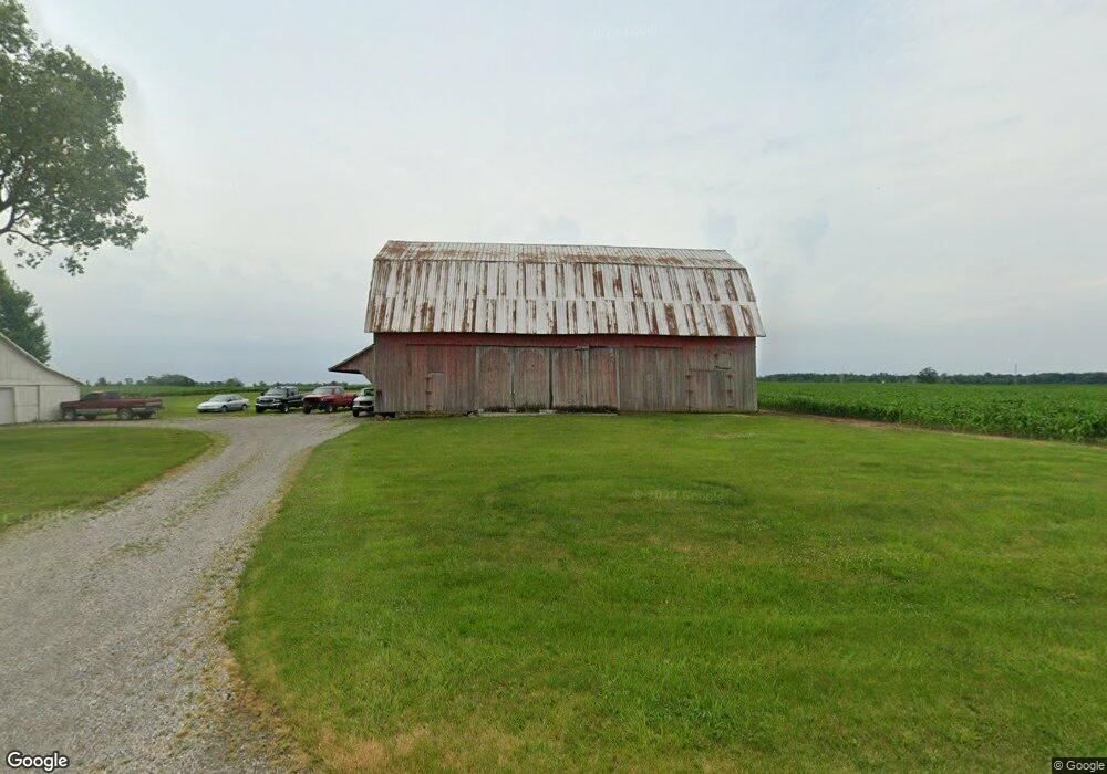
20096 County Road 20n West Unity, OH 43570
Estimated Value: $65,659 - $160,000
4
Beds
1
Bath
1,446
Sq Ft
$78/Sq Ft
Est. Value
About This Home
This home is located at 20096 County Road 20n, West Unity, OH 43570 and is currently estimated at $113,415, approximately $78 per square foot. 20096 County Road 20n is a home located in Williams County with nearby schools including Hilltop Elementary School and Hilltop High School.
Ownership History
Date
Name
Owned For
Owner Type
Purchase Details
Closed on
May 5, 2023
Sold by
Schaffner Andy B
Bought by
Randall Jacob B
Current Estimated Value
Home Financials for this Owner
Home Financials are based on the most recent Mortgage that was taken out on this home.
Original Mortgage
$40,000
Outstanding Balance
$38,874
Interest Rate
6.32%
Mortgage Type
New Conventional
Estimated Equity
$74,542
Purchase Details
Closed on
Jan 26, 2004
Sold by
Croninger Maxine M Po Box 816
Bought by
Schaffner Andy B
Purchase Details
Closed on
Jan 1, 1990
Bought by
Croninger Maxine M
Create a Home Valuation Report for This Property
The Home Valuation Report is an in-depth analysis detailing your home's value as well as a comparison with similar homes in the area
Home Values in the Area
Average Home Value in this Area
Purchase History
| Date | Buyer | Sale Price | Title Company |
|---|---|---|---|
| Randall Jacob B | -- | None Listed On Document | |
| Schaffner Andy B | $41,300 | -- | |
| Croninger Maxine M | -- | -- |
Source: Public Records
Mortgage History
| Date | Status | Borrower | Loan Amount |
|---|---|---|---|
| Open | Randall Jacob B | $40,000 |
Source: Public Records
Tax History Compared to Growth
Tax History
| Year | Tax Paid | Tax Assessment Tax Assessment Total Assessment is a certain percentage of the fair market value that is determined by local assessors to be the total taxable value of land and additions on the property. | Land | Improvement |
|---|---|---|---|---|
| 2024 | $862 | $23,660 | $10,080 | $13,580 |
| 2023 | $862 | $18,770 | $9,000 | $9,770 |
| 2022 | $819 | $18,770 | $9,000 | $9,770 |
| 2021 | $819 | $18,770 | $9,000 | $9,770 |
| 2020 | $792 | $17,710 | $8,400 | $9,310 |
| 2019 | $787 | $17,710 | $8,400 | $9,310 |
| 2018 | $713 | $17,710 | $8,400 | $9,310 |
| 2017 | $661 | $15,020 | $7,770 | $7,250 |
| 2016 | $629 | $15,020 | $7,770 | $7,250 |
| 2015 | $629 | $15,020 | $7,770 | $7,250 |
| 2014 | $686 | $14,740 | $7,630 | $7,110 |
| 2013 | $669 | $14,740 | $7,630 | $7,110 |
Source: Public Records
Map
Nearby Homes
- 0 U S 20
- 311 W Rings St
- 000 W Jackson
- 205 Taylor Dr
- 1070 E Meadow Cir
- 22227 Us Highway 20a
- 340 S Main St
- 15390 16 Rd
- 16806 US Highway 20a
- 14701 Us Highway 127
- 10800 South Rd
- 14191 Lickley Rd
- 400 W Main St
- 400 S Main St
- 505 N Gorham St
- V/L E Territorial Rd
- 15664 County Road K
- 302 E Center St
- 408 Clear Fork Dr
- 400 N Rose Ln
- 19852 County Road O
- 15220 County Road 20
- 19695 County Road O
- 14662 County Road 20
- 19550 County Road O
- 15367 County Road 20
- 9629 County Road 19-50
- 15089 County Road 1950
- 15005 County Road 1950
- 14406 County Road 20
- 15265 County Road 1950
- 15344 County Road 1950
- 20742 County Road 20n
- 19286 County Road O
- 15475 County Road 1950
- 19801 County Road N30
- 15509 County Road 1950
- 19104 County O