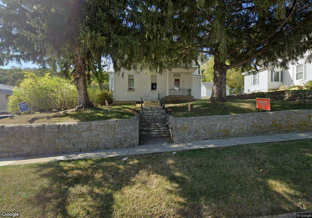
201 1st St NW Elkader, IA 52043
Estimated Value: $141,997 - $202,000
4
Beds
2
Baths
2,107
Sq Ft
$77/Sq Ft
Est. Value
About This Home
This home is located at 201 1st St NW, Elkader, IA 52043 and is currently estimated at $162,499, approximately $77 per square foot. 201 1st St NW is a home located in Clayton County with nearby schools including Central Elementary School and Central Middle School/High School.
Ownership History
Date
Name
Owned For
Owner Type
Purchase Details
Closed on
Apr 1, 2005
Sold by
Carolan Larae J
Bought by
Burns Jasen W and Burns Marnie S
Current Estimated Value
Home Financials for this Owner
Home Financials are based on the most recent Mortgage that was taken out on this home.
Original Mortgage
$62,100
Outstanding Balance
$36,091
Interest Rate
8%
Mortgage Type
Adjustable Rate Mortgage/ARM
Estimated Equity
$126,408
Create a Home Valuation Report for This Property
The Home Valuation Report is an in-depth analysis detailing your home's value as well as a comparison with similar homes in the area
Home Values in the Area
Average Home Value in this Area
Purchase History
| Date | Buyer | Sale Price | Title Company |
|---|---|---|---|
| Burns Jasen W | $69,000 | None Available |
Source: Public Records
Mortgage History
| Date | Status | Borrower | Loan Amount |
|---|---|---|---|
| Open | Burns Jasen W | $62,100 |
Source: Public Records
Tax History Compared to Growth
Tax History
| Year | Tax Paid | Tax Assessment Tax Assessment Total Assessment is a certain percentage of the fair market value that is determined by local assessors to be the total taxable value of land and additions on the property. | Land | Improvement |
|---|---|---|---|---|
| 2025 | $2,830 | $135,218 | $7,590 | $127,628 |
| 2024 | $2,574 | $113,258 | $6,600 | $106,658 |
| 2023 | $2,294 | $113,258 | $6,600 | $106,658 |
| 2022 | $2,126 | $87,900 | $6,000 | $81,900 |
| 2021 | $1,912 | $87,900 | $6,000 | $81,900 |
| 2020 | $1,912 | $82,706 | $6,000 | $76,706 |
| 2019 | $1,722 | $82,706 | $6,000 | $76,706 |
| 2018 | $1,722 | $76,185 | $6,000 | $70,185 |
| 2017 | $1,696 | $76,185 | $6,000 | $70,185 |
| 2015 | $1,892 | $82,470 | $9,900 | $72,570 |
| 2014 | $1,780 | $82,470 | $9,900 | $72,570 |
Source: Public Records
Map
Nearby Homes
- 301 N 1st St
- 117 S Main St
- 209 2nd St SW
- 702 N Main St
- 302 N 3rd St
- 707 N Main St
- 0 E Bridge St
- 710 Woodland Dr NW
- 26642 Iowa 13
- 247 Franzen Ridge Rd
- 249 Franzen Ridge Rd
- 27766 Highway 13
- 0 13 Hwy Unit NBR20255145
- 27455 Harbor Rd
- 14149 Iowa 56
- 0 Grandview Rd
- TBD Country Rd
- TBD Birch Rd
- 305 S Russell St
- 100 Volga St