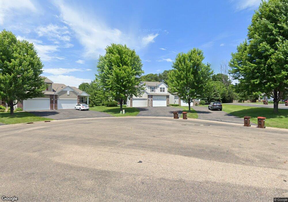
201 201 River Woods Dr W St. Paul Park, MN 55071
Estimated Value: $392,000 - $450,000
4
Beds
3
Baths
1,777
Sq Ft
$235/Sq Ft
Est. Value
About This Home
This home is located at 201 201 River Woods Dr W, St. Paul Park, MN 55071 and is currently estimated at $417,438, approximately $234 per square foot. 201 201 River Woods Dr W is a home located in Washington County with nearby schools including Pullman Elementary School, Oltman Middle School, and Park Senior High School.
Ownership History
Date
Name
Owned For
Owner Type
Purchase Details
Closed on
Aug 2, 2022
Sold by
Larrieu Paul and Larrieu Judy
Bought by
Blair Aileen and Blair Gary
Current Estimated Value
Purchase Details
Closed on
Jul 20, 2022
Sold by
Larrieu Paul W and Larrieu Judy K
Bought by
Blair Aileen and Blair Gary
Purchase Details
Closed on
Aug 20, 2014
Sold by
Olson Edythe D
Bought by
Larrieu Paul W and Larrieu Judy K
Home Financials for this Owner
Home Financials are based on the most recent Mortgage that was taken out on this home.
Original Mortgage
$186,800
Interest Rate
4.11%
Mortgage Type
New Conventional
Purchase Details
Closed on
Jul 21, 2005
Sold by
Lonergan Patrick and Lonergan Julie
Bought by
Finn Edgar and Finn Raynell
Purchase Details
Closed on
Jun 2, 2005
Sold by
Centex Home Minnesota Division
Bought by
Lonergan Patrick T and Not Provided
Create a Home Valuation Report for This Property
The Home Valuation Report is an in-depth analysis detailing your home's value as well as a comparison with similar homes in the area
Home Values in the Area
Average Home Value in this Area
Purchase History
| Date | Buyer | Sale Price | Title Company |
|---|---|---|---|
| Blair Aileen | $397,500 | -- | |
| Blair Aileen | $397,500 | First American Title | |
| Larrieu Paul W | $233,500 | Titlesmart Inc | |
| Finn Edgar | $273,000 | -- | |
| Lonergan Patrick T | $273,565 | -- |
Source: Public Records
Mortgage History
| Date | Status | Borrower | Loan Amount |
|---|---|---|---|
| Previous Owner | Larrieu Paul W | $186,800 |
Source: Public Records
Tax History Compared to Growth
Tax History
| Year | Tax Paid | Tax Assessment Tax Assessment Total Assessment is a certain percentage of the fair market value that is determined by local assessors to be the total taxable value of land and additions on the property. | Land | Improvement |
|---|---|---|---|---|
| 2024 | $5,012 | $385,800 | $48,000 | $337,800 |
| 2023 | $5,012 | $398,900 | $64,800 | $334,100 |
| 2022 | $4,396 | $379,700 | $62,800 | $316,900 |
| 2021 | $4,122 | $319,000 | $52,300 | $266,700 |
| 2020 | $4,288 | $305,200 | $52,300 | $252,900 |
| 2019 | $3,946 | $312,300 | $53,500 | $258,800 |
| 2018 | $3,878 | $273,000 | $33,500 | $239,500 |
| 2017 | $3,670 | $268,300 | $35,100 | $233,200 |
| 2016 | $3,440 | $260,200 | $26,000 | $234,200 |
| 2015 | $3,284 | $233,300 | $22,600 | $210,700 |
| 2013 | -- | $211,800 | $18,500 | $193,300 |
Source: Public Records
Map
Nearby Homes
- 11XX 1st St
- 1227 5th St
- 757 Pleasant Ave
- 833 Summit Ave
- TBD Broadway Ave
- 801 Summit Ave
- 1033 Portland Ave
- 1200 Summit Ave
- 7007 River Rd
- 1318 Summit Ave
- 4049 75th St E
- 7344 Degrio Way
- 8086 Dana Path
- 3907 Conroy Trail
- 8104 Dana Path
- 3901 Conroy Trail
- 3861 Conroy Trail
- 7996 Corey Path
- 1313 11th Ave
- 6931 Crosby Ave
- 201 201 River Woods-Drive-w
- 205 River Woods Dr W
- 201 River Woods Dr W
- 203 River Woods Dr W
- 203 River Woods Dr W
- 211 River Woods Dr W
- 209 River Woods Dr W
- 211 211 River Woods Dr W
- 125 River Woods Dr W
- 119 River Woods Dr W
- 121 River Woods Dr W
- 117 River Woods Dr W
- 127 River Woods Dr W
- 129 River Woods Dr W
- 119 119 River Woods Dr W
- 121 121 River Woods Dr W
- 117 117 River Woods Dr W
- 131 River Woods Dr W
- 123 River Woods Dr W
- 132 132 River Woods-Drive-w