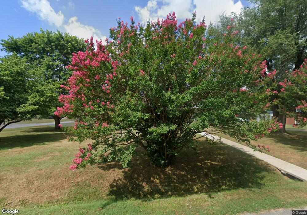
201 Apache Trail Columbia, TN 38401
Estimated Value: $284,660
--
Bed
2
Baths
1,200
Sq Ft
$237/Sq Ft
Est. Value
About This Home
This home is located at 201 Apache Trail, Columbia, TN 38401 and is currently priced at $284,660, approximately $237 per square foot. 201 Apache Trail is a home located in Maury County with nearby schools including R. Howell Elementary School, E.A. Cox Middle School, and Columbia Central High School.
Ownership History
Date
Name
Owned For
Owner Type
Purchase Details
Closed on
Sep 5, 2003
Sold by
Ore Judy E
Bought by
Bortz Timothy and Bortz Mary Helen
Current Estimated Value
Home Financials for this Owner
Home Financials are based on the most recent Mortgage that was taken out on this home.
Original Mortgage
$84,233
Outstanding Balance
$38,268
Interest Rate
5.94%
Mortgage Type
FHA
Purchase Details
Closed on
May 31, 2002
Sold by
Haney Barbara A
Bought by
Ore Judy E
Home Financials for this Owner
Home Financials are based on the most recent Mortgage that was taken out on this home.
Original Mortgage
$76,400
Interest Rate
6.92%
Purchase Details
Closed on
Apr 3, 1996
Sold by
Haney Virgil M
Bought by
Haney Barbara A
Purchase Details
Closed on
Jul 30, 1993
Bought by
Haney Virgil M and Haney Barbara A
Purchase Details
Closed on
Oct 2, 1975
Bought by
Bass Frances
Create a Home Valuation Report for This Property
The Home Valuation Report is an in-depth analysis detailing your home's value as well as a comparison with similar homes in the area
Home Values in the Area
Average Home Value in this Area
Purchase History
| Date | Buyer | Sale Price | Title Company |
|---|---|---|---|
| Bortz Timothy | $84,900 | Security Title & Escrow Co L | |
| Ore Judy E | $84,900 | Security Title | |
| Haney Barbara A | -- | -- | |
| Haney Virgil M | $63,000 | -- | |
| Bass Frances | -- | -- |
Source: Public Records
Mortgage History
| Date | Status | Borrower | Loan Amount |
|---|---|---|---|
| Open | Bortz Timothy | $84,233 | |
| Previous Owner | Ore Judy E | $76,400 | |
| Previous Owner | Bass Frances | $38,000 |
Source: Public Records
Tax History Compared to Growth
Tax History
| Year | Tax Paid | Tax Assessment Tax Assessment Total Assessment is a certain percentage of the fair market value that is determined by local assessors to be the total taxable value of land and additions on the property. | Land | Improvement |
|---|---|---|---|---|
| 2022 | $1,508 | $55,125 | $11,875 | $43,250 |
Source: Public Records
Map
Nearby Homes
- 208 Apache Trail
- 204 Cheyenne Trail
- 302 Cheyenne Trail
- 117 Park Cir
- 1301 Weakly Way
- 1416 Walker Way
- 1217 Mason Dale
- 1221 Mason Dale
- 1207 Nashville Hwy
- 303 W Hardin Dr
- 400 Buchanan Ct
- 1206 Park Mere Dr
- 202 Jackson Heights Rd
- 104 Carol Dr
- 210 Porter Cir
- 213 Jackson Heights Rd
- 103 Bass Dr
- 0 U S Highway 31
- 214 Crestland Dr
- 1409 Nashville Hwy
- 203 Apache Trail
- 0 Apache Trail
- 0 Apache Trail
- 121 Apache Trail
- 200 Creek Trail
- 205 Apache Trail
- 200 Apache Trail
- 200 Apache Trail
- 200 Apache Trail Unit A
- 200 Apache Trail Unit B
- 202 Creek Trail
- 202 Apache Trail
- 118 Creek Trail
- 109 Pawnee Trail
- 119 Apache Trail
- 204 Apache Trail
- 204 Creek Trail
- 207 Apache Trail
- 116 Creek Trail
- 107 Pawnee Trail
