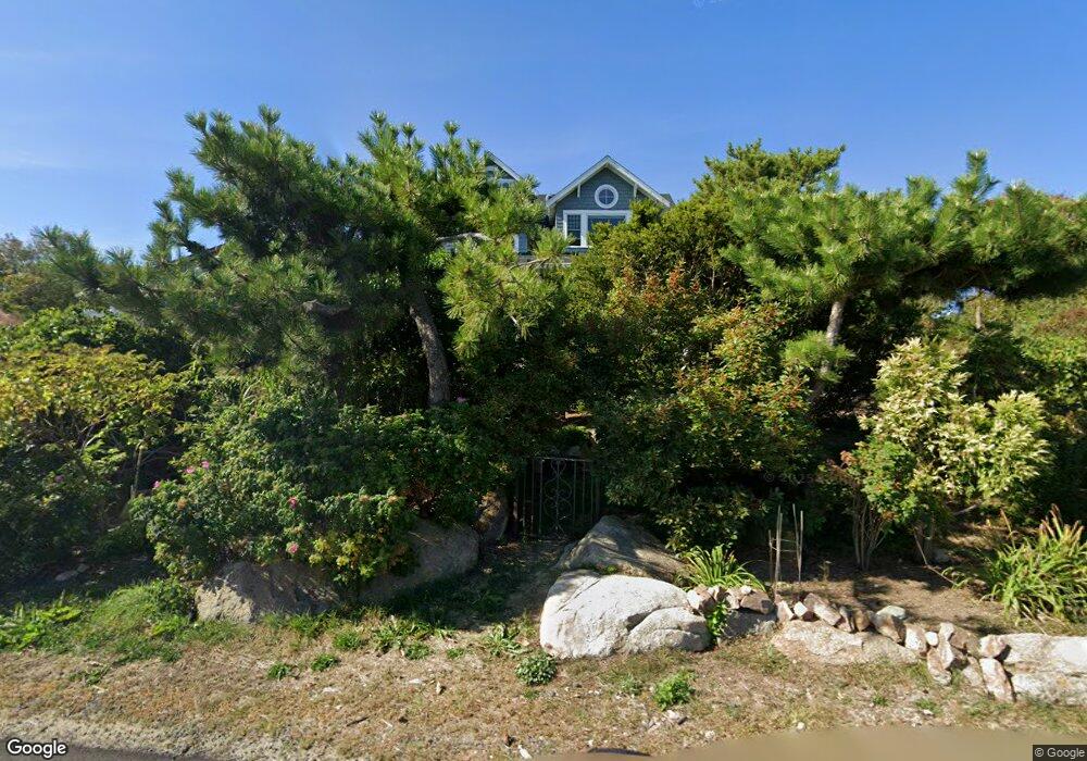
201 Atlantic Rd Gloucester, MA 01930
East Gloucester NeighborhoodEstimated Value: $1,298,000 - $2,673,062
2
Beds
4
Baths
3,335
Sq Ft
$662/Sq Ft
Est. Value
About This Home
This home is located at 201 Atlantic Rd, Gloucester, MA 01930 and is currently estimated at $2,207,016, approximately $661 per square foot. 201 Atlantic Rd is a home located in Essex County with nearby schools including East Gloucester Elementary School, Ralph B O'maley Middle School, and Gloucester High School.
Ownership History
Date
Name
Owned For
Owner Type
Purchase Details
Closed on
Jan 15, 2013
Sold by
Jonathan H Golding Ret
Bought by
Golding Jonathan and Golding Sally B
Current Estimated Value
Purchase Details
Closed on
Sep 7, 2012
Sold by
Golding Jonathan H
Bought by
Jonathan H Golding Ret
Purchase Details
Closed on
Jul 14, 2003
Sold by
Golding Jonathan
Bought by
Golding Jonathan and Golding Sally Bradley
Purchase Details
Closed on
Sep 7, 1995
Sold by
Wolf Carole H
Bought by
Golding Jonathan
Home Financials for this Owner
Home Financials are based on the most recent Mortgage that was taken out on this home.
Original Mortgage
$251,250
Interest Rate
7.8%
Mortgage Type
Purchase Money Mortgage
Create a Home Valuation Report for This Property
The Home Valuation Report is an in-depth analysis detailing your home's value as well as a comparison with similar homes in the area
Home Values in the Area
Average Home Value in this Area
Purchase History
| Date | Buyer | Sale Price | Title Company |
|---|---|---|---|
| Golding Jonathan | -- | -- | |
| Jonathan H Golding Ret | -- | -- | |
| Golding Jonathan H | -- | -- | |
| Golding Jonathan | -- | -- | |
| Golding Jonathan | -- | -- | |
| Golding Jonathan | $335,000 | -- |
Source: Public Records
Mortgage History
| Date | Status | Borrower | Loan Amount |
|---|---|---|---|
| Previous Owner | Golding Jonathan | $251,250 |
Source: Public Records
Tax History
| Year | Tax Paid | Tax Assessment Tax Assessment Total Assessment is a certain percentage of the fair market value that is determined by local assessors to be the total taxable value of land and additions on the property. | Land | Improvement |
|---|---|---|---|---|
| 2025 | $23,309 | $2,398,000 | $1,618,000 | $780,000 |
| 2024 | $22,171 | $2,278,600 | $1,498,600 | $780,000 |
| 2023 | $20,786 | $1,962,800 | $1,278,600 | $684,200 |
| 2022 | $20,104 | $1,713,900 | $1,111,800 | $602,100 |
| 2021 | $19,418 | $1,560,900 | $1,010,800 | $550,100 |
| 2020 | $19,365 | $1,570,600 | $1,010,800 | $559,800 |
| 2019 | $18,782 | $1,480,100 | $963,800 | $516,300 |
| 2018 | $18,438 | $1,426,000 | $940,300 | $485,700 |
| 2017 | $17,904 | $1,357,400 | $895,700 | $461,700 |
| 2016 | $17,443 | $1,281,600 | $856,800 | $424,800 |
| 2015 | $16,807 | $1,231,300 | $837,400 | $393,900 |
Source: Public Records
Map
Nearby Homes
- 11 Ocean View Dr
- 10 Seaview Rd
- 15 Raven Ln Unit 15
- 197 E Main St Unit 1
- 1 Wonson St
- 73 Rocky Neck Ave Unit 2
- 60 Rocky Neck Ave Unit 202
- 3 Mondello Square
- 100 Eastern Point Blvd
- 5 Wise Place
- 191 Main St Unit 3
- 191 Main St Unit 2A
- 139A Prospect St
- 36 Eastern Ave
- 26 Marina Dr
- 35 Middle St Unit 4
- 33 Middle St
- 50 Warner St
- 113 Pleasant St
- 78 Thatcher Rd Unit 6
- 19 Harriett Rd
- 4 Lands End Ln
- 207 Atlantic Rd
- 17 Harriett Rd
- 17 Harriett Rd
- 29 Harriett Rd
- 15 Harriett Rd
- 22 Harriett Rd
- 8 Lands End Ln
- 209 Atlantic Rd
- 196 Atlantic Rd
- 31 Harriett Rd
- 238 Atlantic Rd
- 18 Harriett Rd
- 191 Atlantic Rd
- 7 Lands End Ln
- 13 Harriett Rd
- 10 Lands End Ln
- 13 Harriet Rd
- 189 Atlantic Rd
Your Personal Tour Guide
Ask me questions while you tour the home.