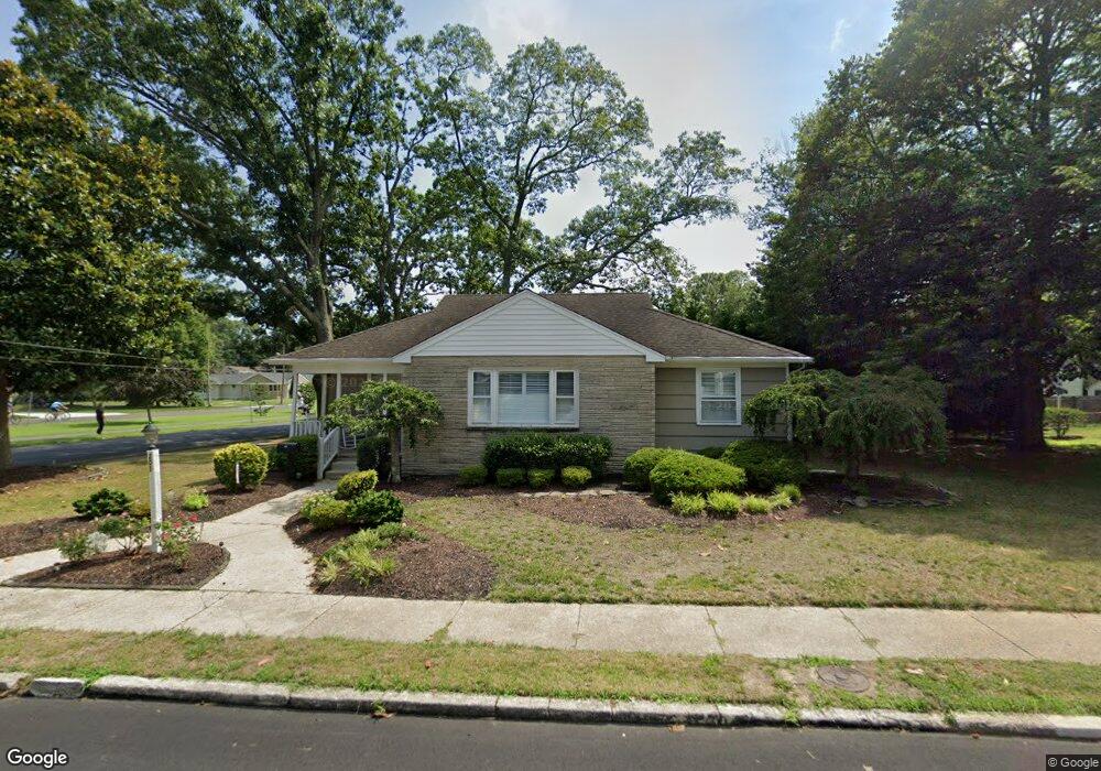
201 Barr Ave Linwood, NJ 08221
Estimated Value: $243,000 - $611,490
--
Bed
--
Bath
1,308
Sq Ft
$337/Sq Ft
Est. Value
About This Home
This home is located at 201 Barr Ave, Linwood, NJ 08221 and is currently estimated at $441,373, approximately $337 per square foot. 201 Barr Ave is a home located in Atlantic County with nearby schools including Seaview Elementary School, Belhaven Middle School, and Mainland Regional High School.
Ownership History
Date
Name
Owned For
Owner Type
Purchase Details
Closed on
Aug 8, 2025
Sold by
Amelia Longo Revocable Living Trust and Longo Christopher
Bought by
Petitt Julia and Bell Patrick J
Current Estimated Value
Home Financials for this Owner
Home Financials are based on the most recent Mortgage that was taken out on this home.
Original Mortgage
$325,600
Outstanding Balance
$325,313
Interest Rate
6.63%
Mortgage Type
FHA
Estimated Equity
$116,060
Purchase Details
Closed on
Oct 7, 2015
Sold by
Longo Amelia and Longo Amelia
Bought by
Longo Christopher and Mangano Lori
Purchase Details
Closed on
Mar 19, 2009
Sold by
Longo Amelia
Bought by
Longo Amelia and The Amelia Longo Revocable Living Trust
Purchase Details
Closed on
Apr 15, 1991
Sold by
Ingersoll June E and Ingersoll Brittingham,R E
Bought by
Longo Amelia
Create a Home Valuation Report for This Property
The Home Valuation Report is an in-depth analysis detailing your home's value as well as a comparison with similar homes in the area
Home Values in the Area
Average Home Value in this Area
Purchase History
| Date | Buyer | Sale Price | Title Company |
|---|---|---|---|
| Petitt Julia | $420,000 | Surety Title | |
| Longo Christopher | -- | Attorney | |
| Longo Amelia | -- | None Available | |
| Longo Amelia | $115,000 | -- |
Source: Public Records
Mortgage History
| Date | Status | Borrower | Loan Amount |
|---|---|---|---|
| Open | Petitt Julia | $325,600 |
Source: Public Records
Tax History Compared to Growth
Tax History
| Year | Tax Paid | Tax Assessment Tax Assessment Total Assessment is a certain percentage of the fair market value that is determined by local assessors to be the total taxable value of land and additions on the property. | Land | Improvement |
|---|---|---|---|---|
| 2025 | $7,981 | $209,200 | $107,400 | $101,800 |
| 2024 | $7,981 | $209,200 | $107,400 | $101,800 |
| 2023 | $7,611 | $209,200 | $107,400 | $101,800 |
| 2022 | $7,611 | $209,200 | $107,400 | $101,800 |
| 2021 | $7,544 | $209,200 | $107,400 | $101,800 |
| 2020 | $7,439 | $209,200 | $107,400 | $101,800 |
| 2019 | $7,280 | $209,200 | $107,400 | $101,800 |
| 2018 | $7,117 | $209,200 | $107,400 | $101,800 |
| 2017 | $6,975 | $209,200 | $107,400 | $101,800 |
| 2016 | $6,740 | $209,200 | $107,400 | $101,800 |
| 2015 | $6,747 | $209,200 | $107,400 | $101,800 |
| 2014 | $6,485 | $209,200 | $107,400 | $101,800 |
Source: Public Records
Map
Nearby Homes
- 130 Wilson Ave
- 210 Haines Ave
- 28 Crossing Dr
- 34 Crossing Dr
- 314 Steven Dr
- 301 Wabash Ave
- 207 Steven Dr
- 921 Oak Grove Ave
- 933 Oak Grove Ave
- 15 Elm Ave
- 901 Oak Ave
- 550 Central Ave Unit N-12
- 550 Central Ave Unit E-14
- 550 Central Ave Unit G-16 Constitution Ct
- 550 Central Ave Unit B1
- 550 Central Ave Unit G-14 Constitution Ct
- 550 Central Ave Unit 4
- 550 Central Ave Unit M3
- 2 Sandy Ct
- 1050 Shore Rd