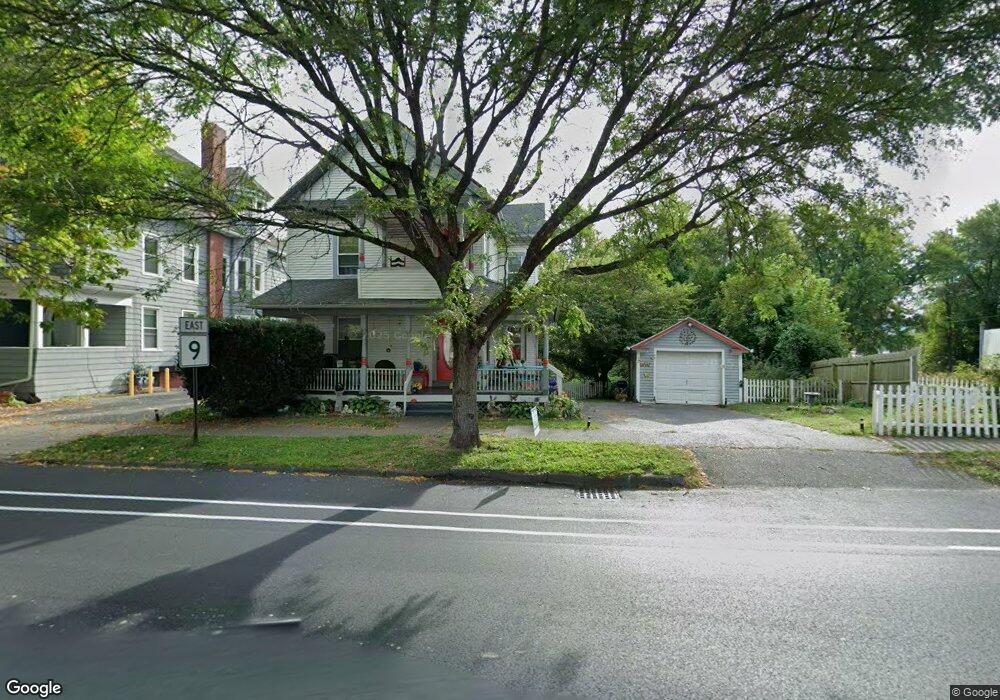
201 Bridge St Northampton, MA 01060
Estimated Value: $399,000 - $453,000
4
Beds
1
Bath
1,368
Sq Ft
$309/Sq Ft
Est. Value
About This Home
This home is located at 201 Bridge St, Northampton, MA 01060 and is currently estimated at $422,592, approximately $308 per square foot. 201 Bridge St is a home located in Hampshire County with nearby schools including Northampton High School, The Montessori School of Northampton, and Campus School of Smith College.
Ownership History
Date
Name
Owned For
Owner Type
Purchase Details
Closed on
Jun 30, 2000
Sold by
Lenkowski Paul
Bought by
Ramos Esmeralda
Current Estimated Value
Home Financials for this Owner
Home Financials are based on the most recent Mortgage that was taken out on this home.
Original Mortgage
$97,500
Outstanding Balance
$35,778
Interest Rate
8.59%
Mortgage Type
Purchase Money Mortgage
Estimated Equity
$386,814
Purchase Details
Closed on
Dec 5, 1989
Sold by
Bamberg Barry R
Bought by
Czelusniak Robt F
Home Financials for this Owner
Home Financials are based on the most recent Mortgage that was taken out on this home.
Original Mortgage
$78,500
Interest Rate
9.82%
Mortgage Type
Purchase Money Mortgage
Create a Home Valuation Report for This Property
The Home Valuation Report is an in-depth analysis detailing your home's value as well as a comparison with similar homes in the area
Home Values in the Area
Average Home Value in this Area
Purchase History
| Date | Buyer | Sale Price | Title Company |
|---|---|---|---|
| Ramos Esmeralda | $130,000 | -- | |
| Czelusniak Robt F | $26,000 | -- |
Source: Public Records
Mortgage History
| Date | Status | Borrower | Loan Amount |
|---|---|---|---|
| Open | Czelusniak Robt F | $97,500 | |
| Closed | Czelusniak Robt F | $10,583 | |
| Previous Owner | Czelusniak Robt F | $77,000 | |
| Previous Owner | Czelusniak Robt F | $78,500 | |
| Closed | Czelusniak Robt F | $26,000 |
Source: Public Records
Tax History Compared to Growth
Tax History
| Year | Tax Paid | Tax Assessment Tax Assessment Total Assessment is a certain percentage of the fair market value that is determined by local assessors to be the total taxable value of land and additions on the property. | Land | Improvement |
|---|---|---|---|---|
| 2025 | $5,958 | $427,700 | $142,400 | $285,300 |
| 2024 | $5,095 | $335,400 | $163,300 | $172,100 |
| 2023 | $5,577 | $352,100 | $148,400 | $203,700 |
| 2022 | $5,408 | $302,300 | $138,700 | $163,600 |
| 2021 | $4,445 | $255,900 | $132,100 | $123,800 |
| 2020 | $4,299 | $255,900 | $132,100 | $123,800 |
| 2019 | $4,278 | $246,300 | $132,100 | $114,200 |
| 2018 | $3,979 | $233,500 | $132,100 | $101,400 |
| 2017 | $3,897 | $233,500 | $132,100 | $101,400 |
| 2016 | $3,773 | $233,500 | $132,100 | $101,400 |
| 2015 | $3,847 | $243,500 | $124,600 | $118,900 |
| 2014 | $3,747 | $243,500 | $124,600 | $118,900 |
Source: Public Records
Map
Nearby Homes
- 41 Old Ferry Rd
- 8 View Ave Unit A
- 8 View Ave Unit B
- 30 Cherry St
- 30 Cherry St Unit A
- 30 Cherry St Unit B
- 9 Walnut St Unit B
- 30 Graves Ave Unit B
- 58 Phillips Place
- 10 Hawley St Unit 4C
- 10 Hawley St Unit 4D
- 10 Hawley St Unit 4B
- 10 Hawley St Unit 4A
- 36 Butler Place
- 215 State St
- 37 Finn St
- 5 Prospect Ct
- 43 Center St Unit K
- 107 Williams St Unit 2c
- 107 Williams St Unit 3c
- 203 Bridge St Unit 1
- 189 Bridge St
- 207 Bridge St
- 208 Bridge St
- 167 Bridge St
- 183 Bridge St Unit 4
- 183 Bridge St
- 5 Orchard St
- 212 Bridge St
- 188 Bridge St
- 7 Orchard St
- 7 Orchard St Unit 1
- 7 Orchard St Unit 7
- 9 Orchard St
- 177 Bridge St
- 177 Bridge St Unit C
- 186 Bridge St
- 227 Bridge St
- 14 Elizabeth St
- 4 Orchard St