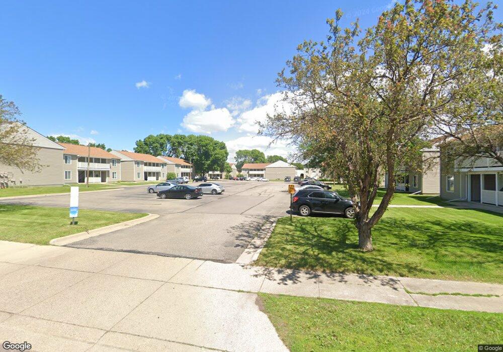
201 Bunting Ln Mankato, MN 56001
Jaycee Park NeighborhoodEstimated Value: $99,000 - $167,857
2
Beds
2
Baths
828
Sq Ft
$160/Sq Ft
Est. Value
About This Home
This home is located at 201 Bunting Ln, Mankato, MN 56001 and is currently estimated at $132,464, approximately $159 per square foot. 201 Bunting Ln is a home located in Blue Earth County with nearby schools including Kennedy Elementary School, Prairie Winds Middle School, and Mankato East Senior High School.
Ownership History
Date
Name
Owned For
Owner Type
Purchase Details
Closed on
Nov 2, 2015
Sold by
Sinha Mamta and Sinha Pankaj
Bought by
Firm Foundation Investment Grp
Current Estimated Value
Purchase Details
Closed on
Jan 16, 2007
Sold by
Johnson Merlyn and Johnson Brenda
Bought by
Sinha Pankaj
Home Financials for this Owner
Home Financials are based on the most recent Mortgage that was taken out on this home.
Original Mortgage
$48,750
Interest Rate
3.2%
Mortgage Type
New Conventional
Create a Home Valuation Report for This Property
The Home Valuation Report is an in-depth analysis detailing your home's value as well as a comparison with similar homes in the area
Home Values in the Area
Average Home Value in this Area
Purchase History
| Date | Buyer | Sale Price | Title Company |
|---|---|---|---|
| Firm Foundation Investment Grp | $132,000 | North American Title | |
| Sinha Pankaj | $65,000 | -- |
Source: Public Records
Mortgage History
| Date | Status | Borrower | Loan Amount |
|---|---|---|---|
| Previous Owner | Sinha Pankaj | $48,750 |
Source: Public Records
Tax History Compared to Growth
Tax History
| Year | Tax Paid | Tax Assessment Tax Assessment Total Assessment is a certain percentage of the fair market value that is determined by local assessors to be the total taxable value of land and additions on the property. | Land | Improvement |
|---|---|---|---|---|
| 2025 | $1,012 | $84,100 | $7,500 | $76,600 |
| 2024 | $1,012 | $79,400 | $7,500 | $71,900 |
| 2023 | $1,002 | $75,900 | $7,000 | $68,900 |
| 2022 | $1,090 | $75,900 | $7,000 | $68,900 |
| 2021 | $1,060 | $77,100 | $9,900 | $67,200 |
| 2020 | $1,016 | $67,300 | $9,900 | $57,400 |
| 2019 | $1,012 | $67,300 | $9,900 | $57,400 |
| 2018 | $998 | $66,800 | $13,200 | $53,600 |
| 2017 | $980 | $66,100 | $24,800 | $41,300 |
| 2016 | $966 | $67,700 | $24,800 | $42,900 |
| 2015 | $8 | $66,800 | $24,800 | $42,000 |
| 2014 | $772 | $194,100 | $74,400 | $119,700 |
Source: Public Records
Map
Nearby Homes
- 107 Raven Ct
- 2 A Madison Ave
- 140 Sandpiper Dr
- 105 Plato St
- 130 Dillon Ave
- 117 Savannah Ct
- 124 Joshua Ct
- 516 Cardinal Place
- 215 215 Parkway Place
- 213 Parkway Place
- TBD Woodridge
- 312 Path
- 124 124 Quinion Dr
- 0 R010918476042 Tbd Woodridge Unit 7036731
- 404 404 Cardinal Dr
- 421 421 Woodhaven Ln
- 340 Rd
- 327 Cardinal Dr
- 101 101 Pohl Rd
- 101 Pohl Rd