Estimated Value: $171,987 - $214,000
3
Beds
2
Baths
1,508
Sq Ft
$131/Sq Ft
Est. Value
About This Home
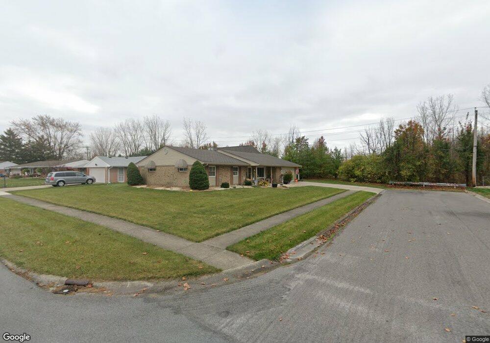
This home is located at 201 Burlington Place, Lima, OH 45805 and is currently estimated at $197,747, approximately $131 per square foot. 201 Burlington Place is a home located in Allen County with nearby schools including Elida Elementary School, Elida Middle School, and Elida High School.
Ownership History
Date
Name
Owned For
Owner Type
Purchase Details
Closed on
Apr 23, 2025
Sold by
Farmer Alvin L and Farmer Patricia A
Bought by
Farmer Irrevocable Heritage Trust and Farmer
Current Estimated Value
Purchase Details
Closed on
Oct 8, 2013
Sold by
Farmer Alvin L and Farmer Patricia A
Bought by
Farmer Alvin L and Farmer Patricia A
Purchase Details
Closed on
Jun 30, 1993
Sold by
Hetzler Joseph A
Bought by
Farmer Alvin L
Purchase Details
Closed on
May 1, 1973
Bought by
Hetzler Joseph A
Create a Home Valuation Report for This Property
The Home Valuation Report is an in-depth analysis detailing your home's value as well as a comparison with similar homes in the area
Purchase History
| Date | Buyer | Sale Price | Title Company |
|---|---|---|---|
| Farmer Irrevocable Heritage Trust | -- | None Listed On Document | |
| Farmer Alvin L | -- | None Available | |
| Farmer Alvin L | $80,500 | -- | |
| Hetzler Joseph A | $34,900 | -- |
Source: Public Records
Tax History
| Year | Tax Paid | Tax Assessment Tax Assessment Total Assessment is a certain percentage of the fair market value that is determined by local assessors to be the total taxable value of land and additions on the property. | Land | Improvement |
|---|---|---|---|---|
| 2024 | $2,094 | $48,060 | $9,660 | $38,400 |
| 2023 | $1,871 | $38,160 | $7,670 | $30,490 |
| 2022 | $1,909 | $38,160 | $7,670 | $30,490 |
| 2021 | $1,916 | $38,160 | $7,670 | $30,490 |
| 2020 | $1,717 | $31,790 | $7,460 | $24,330 |
| 2019 | $1,717 | $31,790 | $7,460 | $24,330 |
| 2018 | $1,731 | $31,790 | $7,460 | $24,330 |
| 2017 | $1,555 | $29,580 | $7,460 | $22,120 |
| 2016 | $1,550 | $29,580 | $7,460 | $22,120 |
| 2015 | $1,522 | $29,580 | $7,460 | $22,120 |
| 2014 | $1,522 | $27,930 | $6,930 | $21,000 |
| 2013 | $1,367 | $27,930 | $6,930 | $21,000 |
Source: Public Records
Map
Nearby Homes
- 37 Beaumont Place
- 1641 Whitehall Dr
- 3 Poulston Place
- 102 Charwood Dr
- 705 Cornell Dr
- 1753 Leland Ave
- 910 N Dale Dr
- 1730 Homeward Ave
- 224 Buckingham Dr
- 174 Bridle Trail
- 926 Crestwood Dr
- 234 Buckingham Dr
- 00 Homeward Ave
- 272 Deer Run
- N/A Eastown Rd N
- 2225 N Cable Rd
- 1558 Chancellor Dr
- 1605 Hazel Ave
- 275 N Dale Dr
- 2275 N Cable Rd Unit 178
Your Personal Tour Guide
Ask me questions while you tour the home.