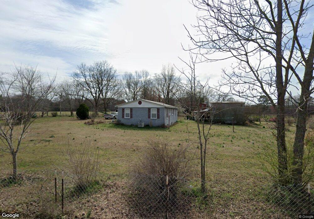
201 Burns Rd Columbus, MS 39702
Estimated Value: $89,605 - $135,000
Studio
--
Bath
1,168
Sq Ft
$96/Sq Ft
Est. Value
About This Home
This home is located at 201 Burns Rd, Columbus, MS 39702 and is currently estimated at $112,151, approximately $96 per square foot. 201 Burns Rd is a home.
Ownership History
Date
Name
Owned For
Owner Type
Purchase Details
Closed on
Aug 30, 2021
Sold by
Burns Anna
Bought by
Peters Gary and Oglesby Susie
Current Estimated Value
Purchase Details
Closed on
Jan 22, 2013
Sold by
Burns Judity Ladonna and Burns James Robert
Bought by
Peters Gary L
Home Financials for this Owner
Home Financials are based on the most recent Mortgage that was taken out on this home.
Original Mortgage
$38,919
Interest Rate
2.25%
Mortgage Type
FHA
Purchase Details
Closed on
Oct 17, 2008
Sold by
Burns Robert G
Bought by
Jordan Marian Jane
Create a Home Valuation Report for This Property
The Home Valuation Report is an in-depth analysis detailing your home's value as well as a comparison with similar homes in the area
Purchase History
| Date | Buyer | Sale Price | Title Company |
|---|---|---|---|
| Peters Gary | -- | None Available | |
| Peters Gary L | -- | -- | |
| Jordan Marian Jane | -- | -- |
Source: Public Records
Mortgage History
| Date | Status | Borrower | Loan Amount |
|---|---|---|---|
| Previous Owner | Peters Gary L | $38,919 |
Source: Public Records
Tax History
| Year | Tax Paid | Tax Assessment Tax Assessment Total Assessment is a certain percentage of the fair market value that is determined by local assessors to be the total taxable value of land and additions on the property. | Land | Improvement |
|---|---|---|---|---|
| 2025 | $229 | $3,992 | $0 | $0 |
| 2024 | $228 | $4,019 | $0 | $0 |
| 2023 | $190 | $3,393 | $0 | $0 |
| 2022 | $190 | $3,393 | $0 | $0 |
| 2021 | $178 | $3,393 | $0 | $0 |
| 2020 | $161 | $3,393 | $0 | $0 |
| 2019 | $158 | $3,248 | $0 | $0 |
| 2018 | $158 | $3,200 | $0 | $0 |
| 2017 | $0 | $3,200 | $0 | $0 |
| 2016 | $278 | $3,200 | $0 | $0 |
| 2015 | -- | $3,807 | $0 | $0 |
| 2014 | -- | $3,807 | $0 | $0 |
Source: Public Records
Map
Nearby Homes
- 394 Pickensville Rd
- 3106 Mississippi 69
- 0 S Pickensville Rd
- 59 Savannah St
- 0 Nashville Ferry Rd E
- 9 Monticello Cir
- 60 1st Colony Dr
- 274 Hughes Rd
- 20 Stokes Rd
- 91 Wilson Dr
- 1553 Hildreth Rd
- 479 Bryant Rd
- 1076 S Pickensville Rd
- 0 Yorkville Rd E
- 279 Pandora Dr
- 1420 9th St S
- 0 Old MacOn Rd
- 346 Williams Place
- 333 Drake Cir
- 630 22nd St S
- 199 Burns Rd
- 109 Burns Rd
- 453 Burns Rd
- 3188 Nashville Ferry Rd E
- 3150 Nashville Ferry Rd E
- 385 Burns Rd
- 466 Burns Rd
- 0 Nashville Rd E
- 461 Burns Rd
- 0 Nashville Rd
- 3442 Nashville Ferry Rd E
- 3005 Nashville Ferry Rd E
- 3606 Nashville Ferry Rd E
- 3269 Nashville Ferry Rd E
- 3549 Nashville Ferry Rd E
- 2853 Nashville Ferry Rd E
- 2822 Nashville Ferry Rd E
- 98 Zack Halbert Rd
- 2835 Nashville Ferry Rd E
- 3729 Nashville Ferry Rd E
Your Personal Tour Guide
Ask me questions while you tour the home.