201 Burtis Point Rd Auburn, NY 13021
Estimated Value: $512,000 - $1,097,135
2
Beds
2
Baths
2,200
Sq Ft
$411/Sq Ft
Est. Value
About This Home
This home is located at 201 Burtis Point Rd, Auburn, NY 13021 and is currently estimated at $904,034, approximately $410 per square foot. 201 Burtis Point Rd is a home located in Cayuga County with nearby schools including Auburn Junior High School and Auburn High School.
Ownership History
Date
Name
Owned For
Owner Type
Purchase Details
Closed on
Jun 9, 2016
Sold by
Wolf Jack E and Wolf Ann H
Bought by
The Thomas R Murphy Revocable Trust
Current Estimated Value
Purchase Details
Closed on
Sep 15, 2006
Sold by
Tonzi Peter
Bought by
Wolf Jack
Home Financials for this Owner
Home Financials are based on the most recent Mortgage that was taken out on this home.
Original Mortgage
$350,000
Interest Rate
6.52%
Mortgage Type
New Conventional
Purchase Details
Closed on
Aug 1, 2003
Sold by
Merritt Richard
Bought by
Tonzi G
Create a Home Valuation Report for This Property
The Home Valuation Report is an in-depth analysis detailing your home's value as well as a comparison with similar homes in the area
Home Values in the Area
Average Home Value in this Area
Purchase History
| Date | Buyer | Sale Price | Title Company |
|---|---|---|---|
| The Thomas R Murphy Revocable Trust | $5,750,000 | Attorney | |
| Wolf Jack | $595,000 | Mark Grabosky | |
| Tonzi G | $325,000 | T. David Stapleton |
Source: Public Records
Mortgage History
| Date | Status | Borrower | Loan Amount |
|---|---|---|---|
| Previous Owner | Wolf Jack | $350,000 |
Source: Public Records
Tax History Compared to Growth
Tax History
| Year | Tax Paid | Tax Assessment Tax Assessment Total Assessment is a certain percentage of the fair market value that is determined by local assessors to be the total taxable value of land and additions on the property. | Land | Improvement |
|---|---|---|---|---|
| 2024 | $19,524 | $430,200 | $137,000 | $293,200 |
| 2023 | $19,226 | $430,200 | $137,000 | $293,200 |
| 2022 | $16,413 | $392,700 | $137,000 | $255,700 |
| 2021 | $16,721 | $392,700 | $137,000 | $255,700 |
| 2020 | $6,192 | $392,700 | $137,000 | $255,700 |
| 2019 | $6,192 | $376,400 | $135,000 | $241,400 |
| 2018 | $8,686 | $376,400 | $135,000 | $241,400 |
| 2017 | $6,961 | $326,400 | $135,000 | $191,400 |
| 2016 | $6,961 | $326,400 | $135,000 | $191,400 |
| 2015 | $6,270 | $326,400 | $135,000 | $191,400 |
| 2014 | $6,270 | $326,400 | $135,000 | $191,400 |
Source: Public Records
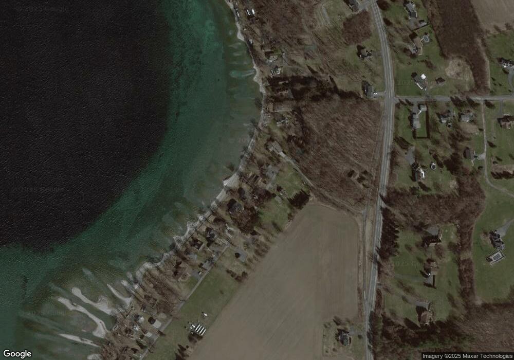
Map
Nearby Homes
- 151 Burtis Point Rd
- 139 Burtis Point Rd
- 367 Waters Edge
- 4995 Rockefeller Lot 3 Rd
- 4985 Rockefeller Lot 2 Rd
- 3564 Swartout Rd
- 5199 W Lake Rd
- 5107 W Lake Rd
- 5017 W Lake Rd
- 5388 W Lake Rd
- 5549 Town Hall Rd
- 6382 E Lake Rd
- 5416 W Lake Rd
- 4963 W Lake Rd
- 5567 W Lake Rd
- 3597 Koenig Point Dr
- 3583 Owasco Dr
- 5601 Buck Point Rd
- 392 Glenbrook Dr
- 0 Buck Point Rd
- 205 Burtis Point Rd
- 197 Burtis Point Rd
- 209 Burtis Point Rd
- 193 Burtis Point Rd
- 189 Burtis Point Rd
- 25 Conroy Jackson Crossing
- 187 Burtis Point Rd
- 27 Conroy Jackson Crossing
- 183 Burtis Point Rd
- 313 Waters Edge
- 212 Burtis Point Rd
- 179 Burtis Point Rd
- 5937 E Lake Rd
- 317 Waters Edge
- 319 Waters Edge
- 323 Waters Edge
- 175 Burtis Point Rd
- 327 Waters Edge
- 171 Burtis Point Rd
- 5971 E Lake Rd