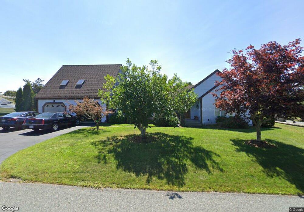
201 Center St Dennis Port, MA 02639
Dennis Port NeighborhoodEstimated Value: $799,000 - $1,003,750
4
Beds
3
Baths
1,838
Sq Ft
$496/Sq Ft
Est. Value
About This Home
This home is located at 201 Center St, Dennis Port, MA 02639 and is currently estimated at $910,938, approximately $495 per square foot. 201 Center St is a home located in Barnstable County with nearby schools including Dennis-Yarmouth Regional High School and St. Pius X. School.
Create a Home Valuation Report for This Property
The Home Valuation Report is an in-depth analysis detailing your home's value as well as a comparison with similar homes in the area
Home Values in the Area
Average Home Value in this Area
Tax History Compared to Growth
Tax History
| Year | Tax Paid | Tax Assessment Tax Assessment Total Assessment is a certain percentage of the fair market value that is determined by local assessors to be the total taxable value of land and additions on the property. | Land | Improvement |
|---|---|---|---|---|
| 2025 | $3,811 | $880,200 | $234,500 | $645,700 |
| 2024 | $3,847 | $876,300 | $225,500 | $650,800 |
| 2023 | $3,868 | $828,200 | $205,000 | $623,200 |
| 2022 | $3,441 | $614,400 | $184,700 | $429,700 |
| 2021 | $3,342 | $554,200 | $181,100 | $373,100 |
| 2020 | $2,910 | $477,100 | $167,100 | $310,000 |
| 2019 | $2,840 | $460,300 | $163,900 | $296,400 |
| 2018 | $2,974 | $469,100 | $169,000 | $300,100 |
| 2017 | $3,012 | $489,700 | $156,000 | $333,700 |
| 2016 | $2,826 | $432,700 | $162,500 | $270,200 |
| 2015 | $2,769 | $432,700 | $162,500 | $270,200 |
| 2014 | $2,682 | $422,400 | $143,000 | $279,400 |
Source: Public Records
Map
Nearby Homes
- 73 Division St
- 159 Center St Unit 22
- 26 Manning Rd
- 148 Belmont Rd
- 12 Cross St
- 40 Willow St
- 221 Upper County Rd Unit 2A
- 221 Upper County Rd Unit 2A
- 47 Telegraph Rd Unit 1
- 3 Fairbanks Dr
- 141 Division St
- 141 Division St
- 45 Route 28
- 79 Massachusetts 28
- 12 Candlewood Ln Unit 2-9
- 6 Bayberry Ln
- 9 Country Ln
- 166 Upper County Rd Unit 1-4
- 1 Belmont Rd Unit 630
- 1 Belmont Rd Unit 513