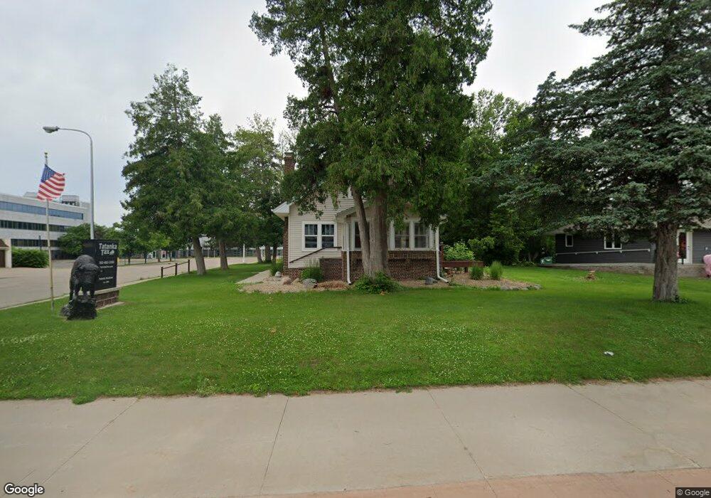
201 Central Ave Buffalo, MN 55313
Estimated Value: $247,000 - $291,000
4
Beds
2
Baths
2,064
Sq Ft
$130/Sq Ft
Est. Value
About This Home
This home is located at 201 Central Ave, Buffalo, MN 55313 and is currently estimated at $267,493, approximately $129 per square foot. 201 Central Ave is a home located in Wright County with nearby schools including Northwinds Elementary School, Buffalo Community Middle School, and Buffalo Senior High School.
Ownership History
Date
Name
Owned For
Owner Type
Purchase Details
Closed on
Mar 17, 2021
Sold by
Drake Path Properties Llc
Bought by
Haubner Patrick
Current Estimated Value
Home Financials for this Owner
Home Financials are based on the most recent Mortgage that was taken out on this home.
Original Mortgage
$95,100
Outstanding Balance
$55,576
Interest Rate
2.8%
Mortgage Type
Commercial
Estimated Equity
$211,917
Purchase Details
Closed on
May 18, 2012
Sold by
Schroeppel Theodore T and Schroeppel Hope L
Bought by
Drake Path Properties Llc
Home Financials for this Owner
Home Financials are based on the most recent Mortgage that was taken out on this home.
Original Mortgage
$127,500
Interest Rate
5%
Mortgage Type
Land Contract Argmt. Of Sale
Create a Home Valuation Report for This Property
The Home Valuation Report is an in-depth analysis detailing your home's value as well as a comparison with similar homes in the area
Home Values in the Area
Average Home Value in this Area
Purchase History
| Date | Buyer | Sale Price | Title Company |
|---|---|---|---|
| Haubner Patrick | -- | Land Title | |
| Drake Path Properties Llc | $137,500 | Land Title | |
| Drake Path Properties Llc | $137,500 | -- |
Source: Public Records
Mortgage History
| Date | Status | Borrower | Loan Amount |
|---|---|---|---|
| Open | Haubner Patrick | $95,100 | |
| Previous Owner | Drake Path Properties Llc | $127,500 |
Source: Public Records
Tax History
| Year | Tax Paid | Tax Assessment Tax Assessment Total Assessment is a certain percentage of the fair market value that is determined by local assessors to be the total taxable value of land and additions on the property. | Land | Improvement |
|---|---|---|---|---|
| 2025 | $5,372 | $238,600 | $99,500 | $139,100 |
| 2024 | $3,478 | $238,600 | $99,500 | $139,100 |
| 2023 | $3,478 | $219,400 | $92,900 | $126,500 |
| 2022 | $3,994 | $171,900 | $81,900 | $90,000 |
| 2021 | $4,036 | $166,100 | $80,100 | $86,000 |
| 2020 | $4,194 | $166,100 | $80,100 | $86,000 |
| 2019 | $3,968 | $166,100 | $0 | $0 |
| 2018 | $3,706 | $162,000 | $0 | $0 |
| 2017 | $4,270 | $154,400 | $0 | $0 |
| 2016 | $4,184 | $0 | $0 | $0 |
| 2015 | $4,086 | $0 | $0 | $0 |
| 2014 | -- | $0 | $0 | $0 |
Source: Public Records
Map
Nearby Homes
- 110 1st Ave NE Unit 402
- 201 1st Ave NW
- 107 2nd Ave NE
- xxx 2nd Ave NE
- 203 3rd Ave NW
- 505 2nd Ave NW
- 200 6th Ave S
- TBD Lake Blvd
- 607 8th St NE Unit A
- 305 Arcadian Place Unit 1
- 312 Arcadian Place Unit 8
- 705 4th St S
- 415 7th Ave S
- 609 Lake Blvd S
- 308 Creekside Dr
- 316 Creekside Dr
- 712 Buffalo Hills St
- 811 Myrtle St
- 510 12th St NW
- 416 Creekside Dr
- 205 Central Ave
- 6 2nd St NE
- 10 2nd St NE
- 11 2nd St NW
- 13 2nd St NW
- 119 1st Ave NE
- 100 Central Ave
- 15 2nd St NW
- 202 1st Ave NE
- XXX Misty Meadows Blvd
- 202 1st Ave NE
- 110 1st Ave NE Unit 202
- 110 1st Ave NE Unit 200
- 110 1st Ave NE Unit 207
- 110 1st Ave NE Unit 7
- 110 1st Ave NE Unit 6
- 110 1st Ave NE Unit 32
- 110 1st Ave NE Unit 504
- 110 1st Ave NE Unit 24
- 110 1st Ave NE Unit 305
Your Personal Tour Guide
Ask me questions while you tour the home.