Estimated Value: $677,000 - $769,000
3
Beds
2
Baths
1,541
Sq Ft
$468/Sq Ft
Est. Value
About This Home
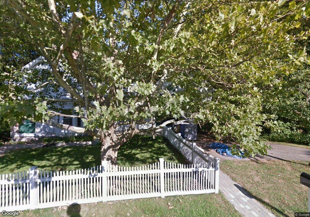
This home is located at 201 Central St, Acton, MA 01720 and is currently estimated at $721,551, approximately $468 per square foot. 201 Central St is a home located in Middlesex County with nearby schools including Acton-Boxborough Regional High School.
Ownership History
Date
Name
Owned For
Owner Type
Purchase Details
Closed on
Jun 23, 2016
Sold by
Hamilton Paul S and Hamilton Kimberly A
Bought by
Paul S Hamilton 2016 Ret
Current Estimated Value
Purchase Details
Closed on
Sep 20, 1993
Sold by
Woodhead Ft and Howe Robert A
Bought by
Hamilton Paul S and Hamilton Kimberly A
Home Financials for this Owner
Home Financials are based on the most recent Mortgage that was taken out on this home.
Original Mortgage
$149,500
Interest Rate
7.16%
Mortgage Type
Purchase Money Mortgage
Create a Home Valuation Report for This Property
The Home Valuation Report is an in-depth analysis detailing your home's value as well as a comparison with similar homes in the area
Home Values in the Area
Average Home Value in this Area
Purchase History
| Date | Buyer | Sale Price | Title Company |
|---|---|---|---|
| Paul S Hamilton 2016 Ret | -- | -- | |
| Hamilton Paul S | $186,900 | -- |
Source: Public Records
Mortgage History
| Date | Status | Borrower | Loan Amount |
|---|---|---|---|
| Previous Owner | Hamilton Paul S | $149,500 |
Source: Public Records
Tax History
| Year | Tax Paid | Tax Assessment Tax Assessment Total Assessment is a certain percentage of the fair market value that is determined by local assessors to be the total taxable value of land and additions on the property. | Land | Improvement |
|---|---|---|---|---|
| 2025 | $9,657 | $563,100 | $278,600 | $284,500 |
| 2024 | $9,387 | $563,100 | $278,600 | $284,500 |
| 2023 | $9,265 | $527,600 | $253,400 | $274,200 |
| 2022 | $8,929 | $459,100 | $220,200 | $238,900 |
| 2021 | $8,634 | $426,800 | $204,000 | $222,800 |
| 2020 | $8,296 | $431,200 | $204,000 | $227,200 |
| 2019 | $7,756 | $400,400 | $204,000 | $196,400 |
| 2018 | $7,260 | $374,600 | $204,000 | $170,600 |
| 2017 | $6,966 | $365,500 | $204,000 | $161,500 |
| 2016 | $6,980 | $363,000 | $204,000 | $159,000 |
| 2015 | $6,869 | $360,600 | $204,000 | $156,600 |
| 2014 | $6,774 | $348,300 | $204,000 | $144,300 |
Source: Public Records
Map
Nearby Homes
- 92 Willow St Unit 3
- 92 Willow St Unit 2
- 90 Willow St Unit 1
- 235 Arlington St
- 20 Joseph Reed Ln
- 6 Beacon Ct
- 246 Main St Unit 2
- 184 Main St Unit 3
- 7 Kelley Rd
- 5 Perkins Ln
- 25 Nylander Way
- 131 Main St
- 129 Main St Unit 129
- 280 W Acton Rd
- 79 Charter Rd
- 247 W Acton Rd
- 4 Littlefield Rd
- 40 High St
- 18 Hayward Rd
- 70 River St
- 207 Central St
- 77 Windsor Ave
- 81 Windsor Ave
- 204 Central St
- 191 Central St
- 198 Central St
- 75 Windsor Ave
- 206 Central St
- 206 Central St Unit 1
- 211 Central St
- 194 Central St
- 212 Central St
- 69 Windsor Ave
- 30 Willow St
- 186 Central St
- 28 Willow St
- 216 Central St
- 217 Central St
- 63 Windsor Ave
- 97 Windsor Ave
Your Personal Tour Guide
Ask me questions while you tour the home.