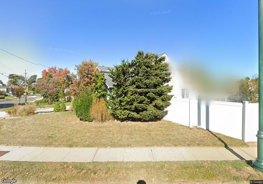
201 Charing Cross Lynbrook, NY 11563
Estimated Value: $852,730 - $866,000
Studio
3
Baths
2,849
Sq Ft
$302/Sq Ft
Est. Value
About This Home
This home is located at 201 Charing Cross, Lynbrook, NY 11563 and is currently estimated at $859,365, approximately $301 per square foot. 201 Charing Cross is a home located in Nassau County with nearby schools including Our Lady Of Peace School.
Ownership History
Date
Name
Owned For
Owner Type
Purchase Details
Closed on
Jun 28, 2010
Sold by
Wruck Ernest R
Bought by
Neidecker Richard J and Demarco Cara R
Current Estimated Value
Purchase Details
Closed on
Dec 29, 1999
Sold by
Kauderer Bruce M and Meltzer Carol
Bought by
Zeilberger Jay and Zeilberger Lisa
Home Financials for this Owner
Home Financials are based on the most recent Mortgage that was taken out on this home.
Original Mortgage
$176,000
Interest Rate
7.79%
Mortgage Type
Purchase Money Mortgage
Create a Home Valuation Report for This Property
The Home Valuation Report is an in-depth analysis detailing your home's value as well as a comparison with similar homes in the area
Home Values in the Area
Average Home Value in this Area
Purchase History
| Date | Buyer | Sale Price | Title Company |
|---|---|---|---|
| Neidecker Richard J | $339,000 | -- | |
| Zeilberger Jay | $220,000 | Commonwealth Land Title Ins |
Source: Public Records
Mortgage History
| Date | Status | Borrower | Loan Amount |
|---|---|---|---|
| Previous Owner | Zeilberger Jay | $176,000 |
Source: Public Records
Tax History
| Year | Tax Paid | Tax Assessment Tax Assessment Total Assessment is a certain percentage of the fair market value that is determined by local assessors to be the total taxable value of land and additions on the property. | Land | Improvement |
|---|---|---|---|---|
| 2025 | $10,984 | $631 | $198 | $433 |
| 2024 | $1,397 | $631 | $198 | $433 |
Source: Public Records
Map
Nearby Homes
- 32 Everett St
- 22 Everett St
- 19 Everett St
- 189 Surrey Commons
- 16 Farnum St
- 56 Northumberland Gate
- 11 Duryea Place
- 54 Hollywood Ave
- 570 Broadway Unit 16A
- 12 Roxy Place
- 21 Oceanview Ave
- 34 Reyam Rd
- 29 Norwich Ave
- 95 Horton Ave
- 242 Munro Blvd
- 3 Olive Place
- 23 Thompson Place
- 53 Lee Ave
- 98 Miriam St
- 161 Union Ave Unit 5
- 189 Charing Cross
- 204 Westminster Rd
- 200 Westminster Rd
- 208 Westminster Rd
- 177 Charing Cross
- 184 Charing Cross
- 385 Peninsula Blvd
- 180 Charing Cross
- 186 Westminster Rd
- 173 Charing Cross
- 379 Peninsula Blvd
- 205 Westminster Rd
- 30 Everett St
- 23 Devon St
- 201 Westminster Rd
- 209 Westminster Rd
- 180 Westminster Rd
- 0 Devon St Unit 3265873
- 0 Devon St Unit 3159304
- 191 Westminster Rd
Your Personal Tour Guide
Ask me questions while you tour the home.