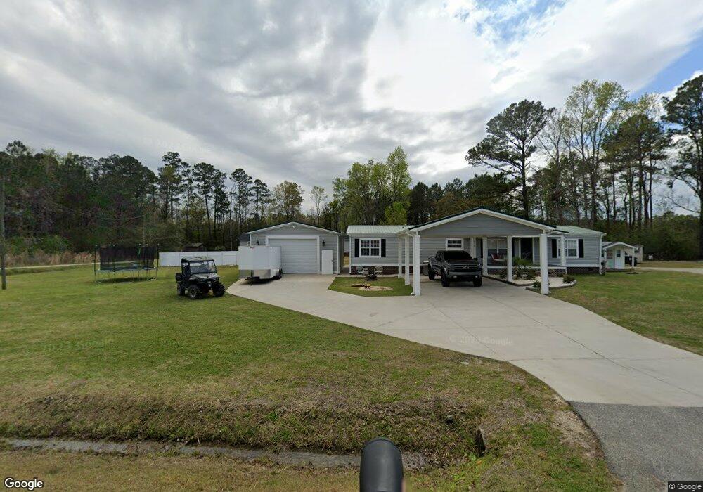
201 Christian Rd Conway, SC 29526
Estimated Value: $181,000 - $310,000
3
Beds
2
Baths
2,088
Sq Ft
$113/Sq Ft
Est. Value
About This Home
This home is located at 201 Christian Rd, Conway, SC 29526 and is currently estimated at $236,837, approximately $113 per square foot. 201 Christian Rd is a home located in Horry County with nearby schools including Kingston Elementary School, Conway Middle School, and Conway High School.
Ownership History
Date
Name
Owned For
Owner Type
Purchase Details
Closed on
Nov 13, 2007
Sold by
Knafo Robbie Lynn Harrelson and Harrelson Robbie Lynn
Bought by
Harrelson Robbie Lynn
Current Estimated Value
Purchase Details
Closed on
Mar 13, 2003
Sold by
Johnson Stanley W
Bought by
Knafo Robbie Lynn Harrelson
Purchase Details
Closed on
Jan 24, 2001
Sold by
Knafo Robbie Lynn Harrelson and Anderson Marjorie
Bought by
Johnson Stanley W
Purchase Details
Closed on
Apr 3, 2000
Sold by
Knafo Robbie Lynn and Knafo Gill H
Bought by
Knafo Robbie Lynn Harrelson
Create a Home Valuation Report for This Property
The Home Valuation Report is an in-depth analysis detailing your home's value as well as a comparison with similar homes in the area
Home Values in the Area
Average Home Value in this Area
Purchase History
| Date | Buyer | Sale Price | Title Company |
|---|---|---|---|
| Harrelson Robbie Lynn | -- | Attorney | |
| Knafo Robbie Lynn Harrelson | -- | -- | |
| Johnson Stanley W | -- | -- | |
| Knafo Robbie Lynn Harrelson | $5,000 | -- |
Source: Public Records
Tax History Compared to Growth
Tax History
| Year | Tax Paid | Tax Assessment Tax Assessment Total Assessment is a certain percentage of the fair market value that is determined by local assessors to be the total taxable value of land and additions on the property. | Land | Improvement |
|---|---|---|---|---|
| 2024 | $690 | $10,809 | $3,596 | $7,213 |
| 2023 | $690 | $5,682 | $1,313 | $4,369 |
| 2021 | $627 | $6,946 | $1,566 | $5,380 |
| 2020 | $539 | $6,946 | $1,566 | $5,380 |
| 2019 | $539 | $6,946 | $1,566 | $5,380 |
| 2018 | $0 | $4,941 | $1,169 | $3,772 |
| 2017 | -- | $7,411 | $1,753 | $5,658 |
| 2016 | -- | $4,941 | $1,169 | $3,772 |
| 2015 | $472 | $4,941 | $1,169 | $3,772 |
| 2014 | $436 | $4,941 | $1,169 | $3,772 |
Source: Public Records
Map
Nearby Homes
- TBD Old Reaves Ferry Rd Unit TBD Old Highway 90
- TBD Old Reaves Ferry Rd Unit 147.38 Acres
- 3052 W Highway 19
- 2835 Pecan Ln
- 2855 Highway 19
- 3390 Highway 19
- TBD Morris Rd
- 2763 Highway 905
- 247 Berley Mc Rd
- TBD 22.66 Berley Mc Rd
- 121 Oak Log Lake Rd
- TBD88 Old Reaves Ferry Rd
- 3700 Highway 19
- 3695 S Carolina 905
- 319 Pickney Ct
- 4339 Randall Rd
- Lot 4 Kellys Cove Dr
- 183 Kellys Cove Dr
- 709 Bull Farm Ct
- 1274 Rodney Rd
- 203 Christian Rd
- 215 Christian Rd
- 200 Christian Rd
- 232 Christian Rd
- 3125 Highway 19
- TBB Clifton Dr
- Lot 17 Adoniram Dr
- 5340 Hwy #90 & Reaves Ferry Rd
- TBB Trestle Way
- LOT 391 Noddy Ct
- Lot 14 Adoniram Dr
- Lot 24 Marley Ct
- Lot 459 Wood Stork Dr Unit Wild Wing Plantation
- TBD Old Reaves Ferry Rd Unit 1.33 /acres
- TBD Haley Brooke Dr
- TBD S Highway 501 W
- HWY 501 Highway 501
- TBD Westfield Lakes Cir
- TBD NW Lake Side Trail
- TBD Lakeland Dr Unit Lot 10-A2