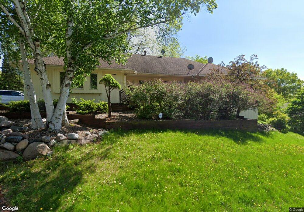
201 Crestridge Dr Burnsville, MN 55337
Estimated Value: $481,000 - $570,000
3
Beds
3
Baths
4,432
Sq Ft
$118/Sq Ft
Est. Value
About This Home
This home is located at 201 Crestridge Dr, Burnsville, MN 55337 and is currently estimated at $522,258, approximately $117 per square foot. 201 Crestridge Dr is a home located in Dakota County with nearby schools including Sky Oaks Elementary School, Joseph Nicollet Middle School, and Burnsville High School.
Ownership History
Date
Name
Owned For
Owner Type
Purchase Details
Closed on
Sep 18, 2020
Sold by
Sanei Gholam Ali and Sanei Nasrin Hashemi
Bought by
State Matthew Douglas and State Tonya
Current Estimated Value
Purchase Details
Closed on
Sep 11, 2003
Sold by
Washburn Frederick and Washburn Janice
Bought by
Sanei Gholam and Nasin Hashemi
Create a Home Valuation Report for This Property
The Home Valuation Report is an in-depth analysis detailing your home's value as well as a comparison with similar homes in the area
Home Values in the Area
Average Home Value in this Area
Purchase History
| Date | Buyer | Sale Price | Title Company |
|---|---|---|---|
| State Matthew Douglas | $360,000 | Lake Title | |
| Sanei Gholam | $6,374,000 | -- | |
| State Matthew Matthew | $360,000 | -- |
Source: Public Records
Mortgage History
| Date | Status | Borrower | Loan Amount |
|---|---|---|---|
| Closed | State Matthew Matthew | $342,000 |
Source: Public Records
Tax History Compared to Growth
Tax History
| Year | Tax Paid | Tax Assessment Tax Assessment Total Assessment is a certain percentage of the fair market value that is determined by local assessors to be the total taxable value of land and additions on the property. | Land | Improvement |
|---|---|---|---|---|
| 2024 | $6,186 | $577,600 | $99,000 | $478,600 |
| 2023 | $6,186 | $573,400 | $99,100 | $474,300 |
| 2022 | $5,328 | $544,300 | $98,900 | $445,400 |
| 2021 | $4,940 | $467,300 | $94,100 | $373,200 |
| 2020 | $5,244 | $434,400 | $89,600 | $344,800 |
| 2019 | $5,044 | $423,200 | $85,300 | $337,900 |
| 2018 | $5,008 | $386,800 | $81,200 | $305,600 |
| 2017 | $4,735 | $372,600 | $77,400 | $295,200 |
| 2016 | $4,656 | $345,600 | $73,700 | $271,900 |
| 2015 | $4,502 | $318,645 | $69,780 | $248,865 |
| 2014 | -- | $320,389 | $68,550 | $251,839 |
| 2013 | -- | $304,584 | $62,451 | $242,133 |
Source: Public Records
Map
Nearby Homes
- 104 Crestridge Dr
- 71 Marcin Hill
- 13629 Krestwood Dr
- 417 Brandywine Dr
- 112 Marcin Ln
- 405 Summit Ln
- 13504 4th Ave S
- 13420 Nicollet Ln
- 504 E 135th St
- 104 Knoll Cir E
- 13631 Oakwood Curve
- 55 Garden Dr
- xxx E 138th St
- 304 Valley High Rd
- 1049 Aston Cir
- 14218 Plymouth Ave S Unit 3
- 753 Evergreen Ct
- 1110 Aston Place
- 521 Timberland Dr
- 668 E 143rd St
- 205 Crestridge Dr
- 113 Crestridge Dr
- 120 Crestridge Dr
- 204 Crestridge Dr
- 200 Crestridge Dr
- 116 Crestridge Dr
- 109 Crestridge Dr
- XXX Crestridge Dr
- 124 Crestridge Dr
- 208 Crestridge Dr
- 209 Crestridge Dr
- 112 Crestridge Dr
- 55 Marcin Hill
- 59 Marcin Hill
- 51 Marcin Hill
- 108 Crestridge Dr
- 213 Crestridge Dr
- 212 Crestridge Dr
- 47 Marcin Hill
- 13708 Krestwood Dr