201 Defense Hwy Annapolis, MD 21401
Parole NeighborhoodEstimated Value: $15,773,846
--
Bed
--
Bath
67,350
Sq Ft
$234/Sq Ft
Est. Value
About This Home
This home is located at 201 Defense Hwy, Annapolis, MD 21401 and is currently estimated at $15,773,846, approximately $234 per square foot. 201 Defense Hwy is a home located in Anne Arundel County with nearby schools including Rolling Knolls Elementary School, Wiley H. Bates Middle School, and Annapolis High School.
Ownership History
Date
Name
Owned For
Owner Type
Purchase Details
Closed on
Aug 9, 2007
Sold by
Cousins Team Ii L L C
Bought by
Hh & P Iv Llc
Current Estimated Value
Purchase Details
Closed on
Jul 27, 2007
Sold by
Cousins Team Ii L L C
Bought by
Hh & P Iv Llc and Ntb Offspring Llc
Purchase Details
Closed on
Dec 18, 1997
Sold by
Power Technology Cntr Ltd Ptnshp
Bought by
Cousins Team Ii L L C
Purchase Details
Closed on
Sep 19, 1989
Sold by
Keleher Robert B
Bought by
Power Technology Cntr Ltd Ptnshp
Create a Home Valuation Report for This Property
The Home Valuation Report is an in-depth analysis detailing your home's value as well as a comparison with similar homes in the area
Home Values in the Area
Average Home Value in this Area
Purchase History
| Date | Buyer | Sale Price | Title Company |
|---|---|---|---|
| Hh & P Iv Llc | $11,175,000 | -- | |
| Hh & P Iv Llc | $11,175,000 | -- | |
| Cousins Team Ii L L C | $6,000,000 | -- | |
| Power Technology Cntr Ltd Ptnshp | $535,200 | -- |
Source: Public Records
Tax History Compared to Growth
Tax History
| Year | Tax Paid | Tax Assessment Tax Assessment Total Assessment is a certain percentage of the fair market value that is determined by local assessors to be the total taxable value of land and additions on the property. | Land | Improvement |
|---|---|---|---|---|
| 2025 | $87,750 | $6,497,100 | $5,090,400 | $1,406,700 |
| 2024 | $87,750 | $7,549,100 | $5,090,400 | $2,458,700 |
| 2023 | $91,694 | $7,952,800 | $5,090,400 | $2,862,400 |
| 2022 | $95,658 | $8,710,267 | $0 | $0 |
| 2021 | $189,852 | $8,628,733 | $0 | $0 |
| 2020 | $91,012 | $8,244,000 | $4,704,800 | $3,539,200 |
| 2019 | $90,650 | $8,244,000 | $4,704,800 | $3,539,200 |
| 2018 | $83,594 | $8,244,000 | $4,704,800 | $3,539,200 |
| 2017 | $98,903 | $9,310,700 | $0 | $0 |
| 2016 | -- | $9,297,867 | $0 | $0 |
| 2015 | -- | $9,424,167 | $0 | $0 |
| 2014 | -- | $9,272,200 | $0 | $0 |
Source: Public Records
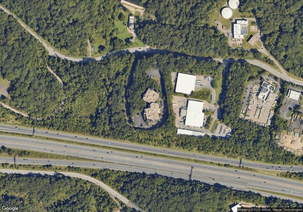
Map
Nearby Homes
- 524 Ridge Rd
- 2175 Glencrest Circle - Taft Model
- 2175
- 2175 Glencrest Cir
- 40 Oak Ct
- 39 Oak Ct
- 2570 Riva Rd Unit 3C
- 110 Marquise Ln
- 301 Unity Ln
- 2713 Coxswain Place
- 204 Burgundy Ln
- Plan 1 at Towne Row
- 2555 Riva Rd
- 2705 Coxswain Place
- 208 Sellew Rd
- 2707 Judson Place
- 803 Coxswain Way Unit 203
- 397 Forelands Rd
- 825 Coxswain Way
- 1909 Eleanor Ct
- 2001 Windermere Ct
- 197 Defense Hwy
- 2406 Alton Ln
- 1 Harry s Truman Pkwy
- 189 Defense Hwy
- 2408 Alton Ln
- 2404 Alton Ln
- 50 Harry s Truman Pkwy
- 2407 Alton Ln
- 2405 Alton Ln
- 185 Defense Hwy
- 181 Defense Hwy
- 2318 Annapolis Ridge Ct
- 2000 Windermere Ct
- 2316 Annapolis Ridge Ct
- 2404 Nichols Rd
- 24042408 Alton Ln
- 2314 Annapolis Ridge Ct
- 2312 Annapolis Ridge Ct
- 179 Defense Hwy