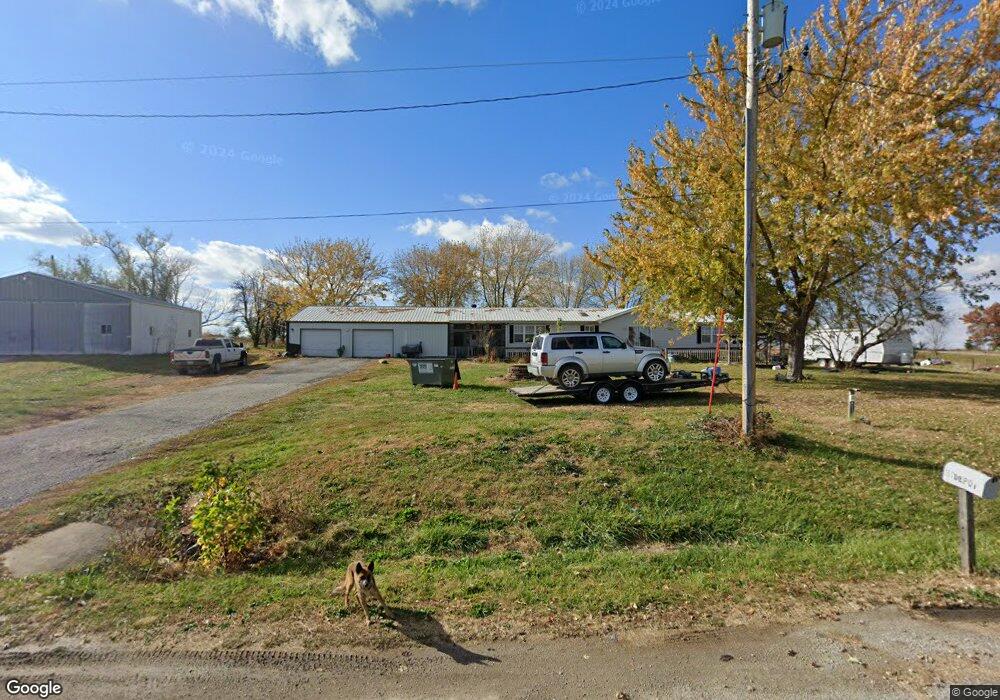
201 Depot St Redding, IA 50860
Estimated Value: $89,000 - $200,000
4
Beds
2
Baths
2,052
Sq Ft
$72/Sq Ft
Est. Value
About This Home
This home is located at 201 Depot St, Redding, IA 50860 and is currently estimated at $147,012, approximately $71 per square foot. 201 Depot St is a home with nearby schools including Mount Ayr Elementary School and Mount Ayr High School.
Ownership History
Date
Name
Owned For
Owner Type
Purchase Details
Closed on
Apr 10, 2014
Sold by
Ritchie Richard Everett
Bought by
Overholser Jerry and Overholser Peggy
Current Estimated Value
Home Financials for this Owner
Home Financials are based on the most recent Mortgage that was taken out on this home.
Original Mortgage
$70,000
Interest Rate
4.41%
Mortgage Type
New Conventional
Purchase Details
Closed on
Dec 12, 2009
Sold by
Hill Lois M and Hill Lois
Bought by
Ritchie Rick E and Borer Chris M
Home Financials for this Owner
Home Financials are based on the most recent Mortgage that was taken out on this home.
Original Mortgage
$70,695
Interest Rate
5.25%
Mortgage Type
FHA
Create a Home Valuation Report for This Property
The Home Valuation Report is an in-depth analysis detailing your home's value as well as a comparison with similar homes in the area
Home Values in the Area
Average Home Value in this Area
Purchase History
| Date | Buyer | Sale Price | Title Company |
|---|---|---|---|
| Overholser Jerry | $70,000 | None Available | |
| Ritchie Rick E | $72,000 | None Available |
Source: Public Records
Mortgage History
| Date | Status | Borrower | Loan Amount |
|---|---|---|---|
| Closed | Overholser Jerry | $70,000 | |
| Previous Owner | Ritchie Rick E | $70,695 |
Source: Public Records
Tax History Compared to Growth
Tax History
| Year | Tax Paid | Tax Assessment Tax Assessment Total Assessment is a certain percentage of the fair market value that is determined by local assessors to be the total taxable value of land and additions on the property. | Land | Improvement |
|---|---|---|---|---|
| 2025 | $1,440 | $130,625 | $5,615 | $125,010 |
| 2024 | $1,440 | $117,492 | $4,410 | $113,082 |
| 2023 | $1,486 | $117,492 | $4,410 | $113,082 |
| 2022 | $1,328 | $84,590 | $4,410 | $80,180 |
| 2021 | $1,328 | $84,590 | $4,410 | $80,180 |
| 2020 | $1,278 | $77,099 | $528 | $76,571 |
| 2019 | $1,544 | $80,460 | $790 | $79,670 |
| 2018 | $1,462 | $80,460 | $790 | $79,670 |
| 2017 | $1,462 | $80,460 | $790 | $79,670 |
| 2016 | $1,330 | $0 | $0 | $0 |
| 2015 | $1,504 | $74,330 | $0 | $0 |
| 2014 | $1,504 | $74,330 | $0 | $0 |
Source: Public Records
Map
Nearby Homes
- 00 Highway 169
- 2935 Highway 169
- 0 Highway 169
- 01 Highway 169
- 02 Highway 169
- 0000 J55 Hwy
- 1170 310th St
- 0 Tay-Gold Ave
- 0 Tay Gold Ave
- 507 King St
- 404 Babson St
- 600 Oak St
- 408 Division St
- 100 Yellowstone Ave
- 0 Yellowstone Ave
- 200 Yellowstone Ave
- 2457 Us Highway 169
- 0 250th St
- 0 250th Streets E Unit 6321428
- 15791 Nuthatch Ave
- 107 Depot St
- 105 Depot St
- 107 Central Ave
- 104 1st St
- 102 1st St
- 300 Depot St
- 311 S Main St
- 100 Us Highway 169
- 405 Main St
- 411 Main St
- 105 Main St
- 404 Main St
- 0 County Highway J55 Clinton Twn Unit 5423208
- 0 County Highway J55 Clinton Twn
- 410 Main St
- 307 3rd St
- 106 Jefferson St
- 308 3rd St
- 304 3rd St
- 402 Washington St