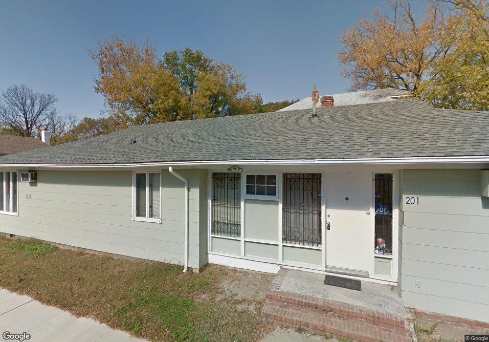
201 Dewitt Ave Asbury Park, NJ 07712
Estimated Value: $645,000 - $756,000
6
Beds
3
Baths
2,241
Sq Ft
$309/Sq Ft
Est. Value
About This Home
This home is located at 201 Dewitt Ave, Asbury Park, NJ 07712 and is currently estimated at $693,482, approximately $309 per square foot. 201 Dewitt Ave is a home located in Monmouth County with nearby schools including Asbury Park High School, Hope Academy Charter School, and Our Lady of Mount Carmel School.
Ownership History
Date
Name
Owned For
Owner Type
Purchase Details
Closed on
Apr 27, 2021
Sold by
Boland Liam and Kulczycki Eve
Bought by
Joe & L Holdings Llc
Current Estimated Value
Home Financials for this Owner
Home Financials are based on the most recent Mortgage that was taken out on this home.
Original Mortgage
$390,000
Outstanding Balance
$353,437
Interest Rate
3.1%
Mortgage Type
New Conventional
Estimated Equity
$340,045
Create a Home Valuation Report for This Property
The Home Valuation Report is an in-depth analysis detailing your home's value as well as a comparison with similar homes in the area
Home Values in the Area
Average Home Value in this Area
Purchase History
| Date | Buyer | Sale Price | Title Company |
|---|---|---|---|
| Joe & L Holdings Llc | $520,000 | Innovation Title Inc | |
| Joe & L Holdings Llc | $520,000 | Fidelity National Title |
Source: Public Records
Mortgage History
| Date | Status | Borrower | Loan Amount |
|---|---|---|---|
| Open | Joe & L Holdings Llc | $390,000 | |
| Closed | Joe & L Holdings Llc | $390,000 |
Source: Public Records
Tax History Compared to Growth
Tax History
| Year | Tax Paid | Tax Assessment Tax Assessment Total Assessment is a certain percentage of the fair market value that is determined by local assessors to be the total taxable value of land and additions on the property. | Land | Improvement |
|---|---|---|---|---|
| 2025 | $7,715 | $492,000 | $124,500 | $367,500 |
| 2024 | $7,289 | $487,700 | $112,500 | $375,200 |
| 2023 | $7,289 | $471,500 | $81,600 | $389,900 |
| 2022 | $3,723 | $408,700 | $54,400 | $354,300 |
| 2021 | $3,723 | $300,900 | $52,800 | $248,100 |
| 2020 | $4,125 | $261,900 | $50,700 | $211,200 |
| 2019 | $3,648 | $221,100 | $48,300 | $172,800 |
| 2018 | $3,418 | $191,800 | $45,700 | $146,100 |
| 2017 | $4,445 | $213,700 | $41,600 | $172,100 |
| 2016 | $4,318 | $201,400 | $41,600 | $159,800 |
| 2015 | $4,297 | $194,100 | $38,400 | $155,700 |
| 2014 | $4,063 | $187,500 | $33,400 | $154,100 |
Source: Public Records
Map
Nearby Homes
- 141 Elizabeth Ave
- 1405 Mattison Ave
- 128 Dewitt Ave
- 135-137 Dewitt Ave
- 126 Dewitt Ave
- 119 Ridge Ave
- 0 Bangs Ave
- 1604 Bangs Ave
- 405 Myrtle Ave
- 401 Ridge Ave
- 1702 Summerfield Ave
- 1704 Summerfield Ave
- 1235 Washington Ave
- 1711 Stratford Ave
- 5 Ivy Place
- 270 Fisher Ave
- 264 Fisher Ave
- 1205 Washington Ave
- 303 Comstock St
- 1316 Monroe Ave
- 205 Dewitt Ave
- 205 Dewitt Ave Unit 1
- 145 Dewitt Ave
- 209 Dewitt Ave
- 209 Dewitt Ave Unit 1 Downstairs
- 209 Dewitt Ave Unit 2 upstairs
- 143 Dewitt Ave
- 208 Elizabeth Ave
- 213 Dewitt Ave
- 210 Elizabeth Ave
- 210 Elizabeth Ave Unit 1
- 141 Dewitt Ave
- 215 Dewitt Ave
- 201 Elizabeth Ave
- 151 Elizabeth Ave
- 206 Dewitt Ave
- 147 Elizabeth Ave
- 137 Dewitt Ave
- 200 Dewitt Ave
- 202 Dewitt Ave