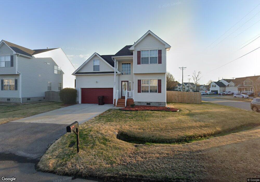
201 Dunn St Chesapeake, VA 23320
South Norfolk NeighborhoodEstimated Value: $394,000 - $438,000
3
Beds
3
Baths
2,501
Sq Ft
$165/Sq Ft
Est. Value
About This Home
This home is located at 201 Dunn St, Chesapeake, VA 23320 and is currently estimated at $413,690, approximately $165 per square foot. 201 Dunn St is a home located in Chesapeake City with nearby schools including B.M. Williams Primary School, Crestwood Intermediate School, and Crestwood Middle School.
Ownership History
Date
Name
Owned For
Owner Type
Purchase Details
Closed on
Jan 29, 2009
Sold by
Raeber Jeremy W
Bought by
Porter George A
Current Estimated Value
Home Financials for this Owner
Home Financials are based on the most recent Mortgage that was taken out on this home.
Original Mortgage
$286,000
Outstanding Balance
$181,752
Interest Rate
5.2%
Mortgage Type
VA
Estimated Equity
$231,938
Purchase Details
Closed on
Nov 6, 2003
Sold by
Napolitano
Bought by
Raeber Jeremy
Home Financials for this Owner
Home Financials are based on the most recent Mortgage that was taken out on this home.
Original Mortgage
$211,450
Interest Rate
6.01%
Mortgage Type
VA
Purchase Details
Closed on
May 2, 2003
Sold by
Nc L L C
Bought by
Napolitano I I
Create a Home Valuation Report for This Property
The Home Valuation Report is an in-depth analysis detailing your home's value as well as a comparison with similar homes in the area
Home Values in the Area
Average Home Value in this Area
Purchase History
| Date | Buyer | Sale Price | Title Company |
|---|---|---|---|
| Porter George A | $280,000 | -- | |
| Raeber Jeremy | $207,376 | -- | |
| Napolitano I I | $658,600 | -- |
Source: Public Records
Mortgage History
| Date | Status | Borrower | Loan Amount |
|---|---|---|---|
| Open | Porter George A | $286,000 | |
| Previous Owner | Napolitano I I | $211,450 |
Source: Public Records
Tax History Compared to Growth
Tax History
| Year | Tax Paid | Tax Assessment Tax Assessment Total Assessment is a certain percentage of the fair market value that is determined by local assessors to be the total taxable value of land and additions on the property. | Land | Improvement |
|---|---|---|---|---|
| 2025 | $4,028 | $396,200 | $110,000 | $286,200 |
| 2024 | $4,028 | $398,800 | $110,000 | $288,800 |
| 2023 | $3,327 | $359,600 | $95,000 | $264,600 |
| 2022 | $3,274 | $324,200 | $85,000 | $239,200 |
| 2021 | $3,127 | $297,800 | $85,000 | $212,800 |
| 2020 | $3,018 | $287,400 | $80,000 | $207,400 |
| 2019 | $2,854 | $271,800 | $80,000 | $191,800 |
| 2018 | $2,626 | $243,600 | $80,000 | $163,600 |
| 2017 | $2,558 | $243,600 | $80,000 | $163,600 |
| 2016 | $2,558 | $243,600 | $80,000 | $163,600 |
| 2015 | $2,558 | $243,600 | $80,000 | $163,600 |
| 2014 | $2,558 | $243,600 | $80,000 | $163,600 |
Source: Public Records
Map
Nearby Homes
- 301 Lincoln Rd
- 112 Grant St
- 5004 Bainbridge Blvd
- 911 Harbour Dr N
- 813 Mullen Rd
- 1212 Saul Dr
- 408 Rose Garden Ln
- 852 Mains Creek Rd
- 409 Rose Garden Ln
- 1413 Cole Dr
- 1225 Keats Station
- 454 Cobblewood Arch
- 1033 Robert Welch Ln
- 409 Cobblewood Arch
- 1712 Defiance Dr
- 1732 Defiance Dr
- 1729 Defiance Dr
- 1733 Defiance Dr
- 1006 Port Side Way
- 949 Gabion Way