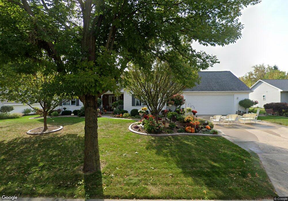
201 E Peppercorn Dr Appleton, WI 54913
North Appleton NeighborhoodEstimated Value: $392,011 - $425,000
3
Beds
2
Baths
2,024
Sq Ft
$200/Sq Ft
Est. Value
About This Home
This home is located at 201 E Peppercorn Dr, Appleton, WI 54913 and is currently estimated at $405,003, approximately $200 per square foot. 201 E Peppercorn Dr is a home located in Outagamie County with nearby schools including Ferber Elementary School, Einstein Middle School, and Appleton North High School.
Ownership History
Date
Name
Owned For
Owner Type
Purchase Details
Closed on
Jan 30, 2025
Sold by
Schwab William J and Schwab Barbara A
Bought by
Wisconsin Department Of Transportation
Current Estimated Value
Purchase Details
Closed on
May 5, 2011
Sold by
Goodavish Gregory J and Goodavish Janean I
Bought by
Schwab William J and Schwab Barbara A
Create a Home Valuation Report for This Property
The Home Valuation Report is an in-depth analysis detailing your home's value as well as a comparison with similar homes in the area
Home Values in the Area
Average Home Value in this Area
Purchase History
| Date | Buyer | Sale Price | Title Company |
|---|---|---|---|
| Wisconsin Department Of Transportation | $19,500 | None Listed On Document | |
| Schwab William J | $187,900 | -- |
Source: Public Records
Tax History
| Year | Tax Paid | Tax Assessment Tax Assessment Total Assessment is a certain percentage of the fair market value that is determined by local assessors to be the total taxable value of land and additions on the property. | Land | Improvement |
|---|---|---|---|---|
| 2024 | $4,832 | $328,900 | $49,100 | $279,800 |
| 2023 | $5,077 | $328,900 | $49,100 | $279,800 |
| 2022 | $4,677 | $225,200 | $43,000 | $182,200 |
| 2021 | $4,463 | $225,200 | $43,000 | $182,200 |
| 2020 | $4,435 | $225,200 | $43,000 | $182,200 |
| 2019 | $4,310 | $225,200 | $43,000 | $182,200 |
| 2018 | $4,138 | $189,500 | $39,000 | $150,500 |
| 2017 | $4,103 | $189,500 | $39,000 | $150,500 |
| 2016 | $4,035 | $189,500 | $39,000 | $150,500 |
| 2015 | $4,096 | $189,500 | $39,000 | $150,500 |
| 2014 | $4,062 | $189,500 | $39,000 | $150,500 |
| 2013 | $4,071 | $189,500 | $39,000 | $150,500 |
Source: Public Records
Map
Nearby Homes
- 4124 N Wedgewood Dr
- 3407 N Windward Ln
- 4207 N Tigerlily Dr
- 36 Apache Ct
- 525 W Wayfarer Ct
- 2940 N Oneida St
- 4401 N Haymeadow Ave
- 125 E Wayfarer Ln
- 321 E Apple Creek Rd
- 266 E Sweetwater Way
- 2916 N Rankin St
- 1801 N Racine St
- 433 E Parkway Blvd
- 3439 N Story St
- 841 E Windfield Place
- 701 E Longview Dr
- 921 E Windfield Place Unit A
- 1009 E Northwood Dr
- 217 E Wentworth Ln
- 5975 N Meade St
- 127 E Peppercorn Dr
- 209 E Peppercorn Dr
- 119 E Peppercorn Dr
- 217 E Peppercorn Dr
- 225 E Peppercorn Dr
- 3808 N Quail Ridge Dr
- 118 E Peppercorn Dr
- 5 Tilbury Ct
- 1 Balsam Ct
- 130 E Norfolk Place
- 124 E Norfolk Place
- 30 Tilbury Ct
- 136 E Norfolk Place
- 118 E Norfolk Place
- 3816 N Quail Ridge Dr
- 200 E Norfolk Place
- 112 E Norfolk Place
- 206 E Norfolk Place
- 232 E Peppercorn Dr
- 3900 N Quail Ridge Dr
Your Personal Tour Guide
Ask me questions while you tour the home.