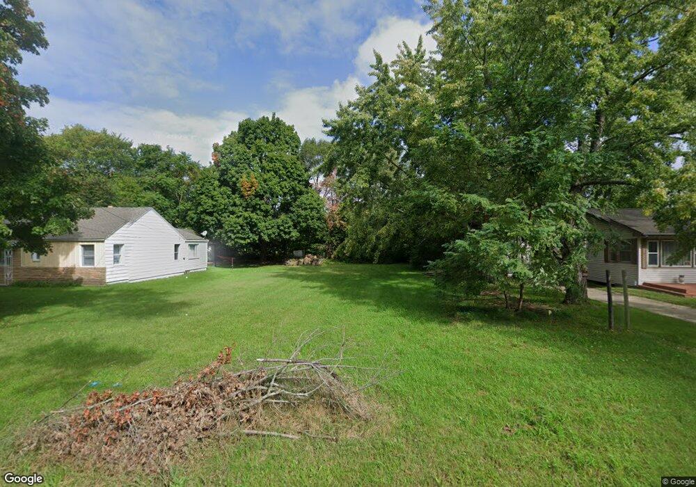
201 Elmside Rd Benton Harbor, MI 49022
Fair Plain NeighborhoodEstimated Value: $31,000 - $188,000
Studio
--
Bath
--
Sq Ft
8,276
Sq Ft Lot Lot
About This Home
This home is located at 201 Elmside Rd, Benton Harbor, MI 49022 and is currently estimated at $99,859. 201 Elmside Rd is a home located in Berrien County with nearby schools including Fair Plain Middle School, Benton Harbor High School, and Benton Harbor Charter School Academy.
Ownership History
Date
Name
Owned For
Owner Type
Purchase Details
Closed on
Jan 6, 2021
Sold by
Barnes Dillon Christopher
Bought by
Barnes Angelete Yvette
Current Estimated Value
Purchase Details
Closed on
Sep 15, 2008
Sold by
Harbor Habitat For Humanity
Bought by
Gavin Larry E and Gavin Edith
Purchase Details
Closed on
Apr 23, 2008
Sold by
Barden John and Barden Patricia
Bought by
Harbor Habitat For Humanity Inc
Purchase Details
Closed on
Jun 30, 2003
Sold by
Williams Deborah
Bought by
Barden John and Barden Patricia
Purchase Details
Closed on
Jun 27, 2003
Sold by
Salaam Basnir and Salaam Rochelle
Bought by
Williams Debra
Purchase Details
Closed on
Jan 11, 2002
Purchase Details
Closed on
Feb 7, 1996
Purchase Details
Closed on
May 30, 1995
Purchase Details
Closed on
Jul 22, 1994
Purchase Details
Closed on
May 10, 1990
Create a Home Valuation Report for This Property
The Home Valuation Report is an in-depth analysis detailing your home's value as well as a comparison with similar homes in the area
Home Values in the Area
Average Home Value in this Area
Purchase History
We collect this data history from publicly available records. To have your information removed, we recommend requesting removal directly through your county’s website.
| Date | Buyer | Sale Price | Title Company |
|---|---|---|---|
| Barnes Angelete Yvette | -- | None Available | |
| Gavin Larry E | -- | None Available | |
| Harbor Habitat For Humanity Inc | -- | None Available | |
| Barden John | $16,000 | -- | |
| Williams Debra | -- | -- | |
| -- | -- | -- | |
| -- | -- | -- | |
| -- | -- | -- | |
| -- | $2,000 | -- | |
| -- | -- | -- |
Source: Public Records
Tax History
| Year | Tax Paid | Tax Assessment Tax Assessment Total Assessment is a certain percentage of the fair market value that is determined by local assessors to be the total taxable value of land and additions on the property. | Land | Improvement |
|---|---|---|---|---|
| 2025 | $169 | $5,700 | $0 | $0 |
| 2024 | $47 | $2,600 | $0 | $0 |
| 2023 | $45 | $2,900 | $0 | $0 |
| 2022 | $43 | $2,900 | $0 | $0 |
| 2021 | $77 | $2,800 | $2,800 | $0 |
| 2020 | $76 | $1,600 | $0 | $0 |
| 2019 | $77 | $1,100 | $1,100 | $0 |
| 2018 | $286 | $1,100 | $0 | $0 |
| 2017 | $301 | $1,500 | $0 | $0 |
| 2016 | $307 | $1,500 | $0 | $0 |
| 2015 | $442 | $4,100 | $0 | $0 |
| 2014 | $137 | $4,600 | $0 | $0 |
Source: Public Records
Map
Nearby Homes
- 121 Elmside Rd
- 342 E Napier Ave
- 1620 Pearl St
- 407 E Napier Ave
- 380 Eloise Dr
- 2046 Gerald St
- 1928 Ogden Ave
- 1772 Lombard St
- 2022 Krolow St
- 334 Hoover Ave
- 1627 Ogden Ave
- 287 Nickerson Ave
- 2099 Russell Rd
- 260 Brownway
- 382 Dale Ave
- 2294 Colfax Ave
- 1890 Union Ave
- 180 Emery Ave
- 682 Waverly Dr
- 471 Dale Ave
Your Personal Tour Guide
Ask me questions while you tour the home.