201 Fox Rd Apollo, PA 15613
Estimated Value: $527,000 - $825,000
Studio
5
Baths
2,620
Sq Ft
$262/Sq Ft
Est. Value
About This Home
This home is located at 201 Fox Rd, Apollo, PA 15613 and is currently estimated at $687,031, approximately $262 per square foot. 201 Fox Rd is a home with nearby schools including Kiski Area High School.
Ownership History
Date
Name
Owned For
Owner Type
Purchase Details
Closed on
Jul 15, 2022
Sold by
Plowman Robert K and Plowman Jennifer L
Bought by
Cole William Gary and Cole Amber Nicole
Current Estimated Value
Purchase Details
Closed on
Nov 27, 2018
Sold by
Plowman Kevin D and Plowman Melinda S
Bought by
Plowman Robert K and Plowman Jennifer L
Home Financials for this Owner
Home Financials are based on the most recent Mortgage that was taken out on this home.
Original Mortgage
$497,800
Interest Rate
4.9%
Mortgage Type
Construction
Create a Home Valuation Report for This Property
The Home Valuation Report is an in-depth analysis detailing your home's value as well as a comparison with similar homes in the area
Home Values in the Area
Average Home Value in this Area
Purchase History
| Date | Buyer | Sale Price | Title Company |
|---|---|---|---|
| Cole William Gary | $842,000 | None Listed On Document | |
| Plowman Robert K | $325,000 | None Available |
Source: Public Records
Mortgage History
| Date | Status | Borrower | Loan Amount |
|---|---|---|---|
| Previous Owner | Plowman Robert K | $497,800 |
Source: Public Records
Tax History
| Year | Tax Paid | Tax Assessment Tax Assessment Total Assessment is a certain percentage of the fair market value that is determined by local assessors to be the total taxable value of land and additions on the property. | Land | Improvement |
|---|---|---|---|---|
| 2025 | $7,739 | $52,970 | $4,500 | $48,470 |
| 2024 | $6,950 | $49,150 | $4,500 | $44,650 |
| 2023 | $6,344 | $49,150 | $4,500 | $44,650 |
| 2022 | $6,148 | $49,150 | $4,500 | $44,650 |
| 2021 | $6,149 | $49,150 | $4,500 | $44,650 |
| 2020 | $5,086 | $40,770 | $4,500 | $36,270 |
| 2019 | $5,025 | $40,770 | $4,500 | $36,270 |
| 2018 | $4,944 | $40,770 | $4,500 | $36,270 |
| 2017 | $4,822 | $40,770 | $4,500 | $36,270 |
| 2016 | $4,747 | $40,770 | $4,500 | $36,270 |
| 2015 | $4,747 | $40,770 | $4,500 | $36,270 |
| 2014 | $4,722 | $40,770 | $4,500 | $36,270 |
Source: Public Records
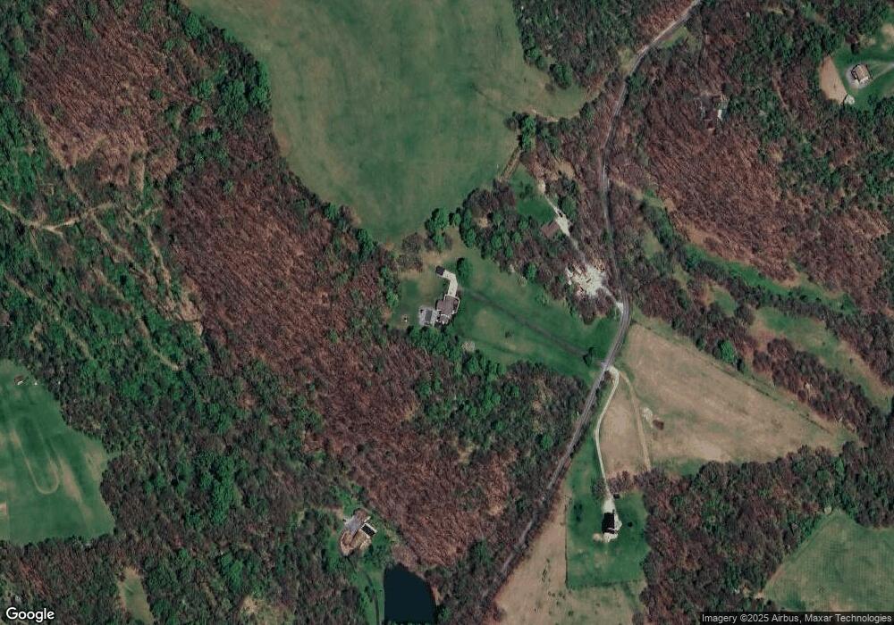
Map
Nearby Homes
- 1749 Washington Rd
- Parcel A Beighley Rd
- 460 Beaver Run Rd
- 138 Beaver Run Rd
- 5330 Greensburg Rd
- 280 Kistler Dr
- 474 Exton Lake Rd
- 126 Bakers Ln
- 623 Marco Rd
- 380 Northgate Dr Unit E
- 380 Northgate Dr Unit D
- 384 Northgate Dr Unit T
- 5879 Steele Rd
- 145 Shelby Ln
- 4251 Hilty Rd
- 3640 Pennsylvania 819
- 00 Saltsburg Rd
- 4930 Ashbaugh Rd
- 905 Watt Rd
- 5005 Mamont Rd
Your Personal Tour Guide
Ask me questions while you tour the home.