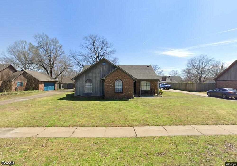
201 Georgetown Dr West Memphis, AR 72301
Estimated Value: $159,000 - $227,000
3
Beds
2
Baths
1,485
Sq Ft
$137/Sq Ft
Est. Value
About This Home
This home is located at 201 Georgetown Dr, West Memphis, AR 72301 and is currently estimated at $202,875, approximately $136 per square foot. 201 Georgetown Dr is a home located in Crittenden County with nearby schools including Richland Elementary School, West Junior High School, and The Academies of West Memphis Charter School.
Ownership History
Date
Name
Owned For
Owner Type
Purchase Details
Closed on
Jul 7, 2020
Sold by
Williams Harold Claude
Bought by
Wilson Tate H
Current Estimated Value
Home Financials for this Owner
Home Financials are based on the most recent Mortgage that was taken out on this home.
Original Mortgage
$144,337
Outstanding Balance
$127,988
Interest Rate
3.1%
Mortgage Type
FHA
Estimated Equity
$74,887
Purchase Details
Closed on
May 14, 2015
Sold by
Williams Glenda
Bought by
Williams Harold Claude
Purchase Details
Closed on
Apr 4, 1991
Sold by
Not Provided
Bought by
Williams Glenda G
Purchase Details
Closed on
Jun 1, 1986
Bought by
To
Create a Home Valuation Report for This Property
The Home Valuation Report is an in-depth analysis detailing your home's value as well as a comparison with similar homes in the area
Home Values in the Area
Average Home Value in this Area
Purchase History
| Date | Buyer | Sale Price | Title Company |
|---|---|---|---|
| Wilson Tate H | $147,000 | Stewart Title | |
| Williams Harold Claude | -- | -- | |
| Williams Glenda G | $83,000 | -- | |
| To | $74,000 | -- | |
| To | $14,000 | -- |
Source: Public Records
Mortgage History
| Date | Status | Borrower | Loan Amount |
|---|---|---|---|
| Open | Wilson Tate H | $144,337 |
Source: Public Records
Tax History Compared to Growth
Tax History
| Year | Tax Paid | Tax Assessment Tax Assessment Total Assessment is a certain percentage of the fair market value that is determined by local assessors to be the total taxable value of land and additions on the property. | Land | Improvement |
|---|---|---|---|---|
| 2024 | $921 | $29,570 | $5,600 | $23,970 |
| 2023 | $996 | $29,570 | $5,600 | $23,970 |
| 2022 | $1,046 | $29,570 | $5,600 | $23,970 |
| 2021 | $1,046 | $29,570 | $5,600 | $23,970 |
| 2020 | $1,182 | $29,570 | $5,600 | $23,970 |
| 2019 | $940 | $24,860 | $5,600 | $19,260 |
| 2018 | $1,009 | $24,860 | $5,600 | $19,260 |
| 2017 | $1,009 | $24,860 | $5,600 | $19,260 |
| 2016 | $1,009 | $0 | $0 | $0 |
| 2015 | $578 | $24,860 | $5,600 | $19,260 |
| 2014 | $578 | $22,610 | $5,200 | $17,410 |
Source: Public Records
Map
Nearby Homes
- 302 Georgetown Dr
- 402 Brentwood Dr
- 408 Brentwood Dr
- 101 Country Club Rd
- 1106 W Barton Ave
- 765 Dogwood Cove
- 807 W Barton Ave
- 1503 Oaklawn Dr
- 909 Rosewood Dr
- 1500 W Barton Ave
- 522 Lois Marie Cove
- 1504 W Barton Ave
- 823 S Roselawn Dr
- 607 W Barton Ave
- 503 W Oliver Ave
- 813 Pryor Dr
- 1705 Eagle Dr
- 511 W Cooper Ave
- 623 S Roselawn Dr
- 1002 Clement Rd
- 105 Georgetown Dr
- 105 Georgetown Dr
- 1001 Georgetown Cove
- 203 Georgetown Dr
- 1000 Georgetown Cove
- 103 Georgetown Dr
- 108 Kingsway Dr
- 106 Kingsway Dr
- 202 Georgetown Dr
- 205 Georgetown Dr
- 1003 Georgetown Cove
- 110 Kingsway Dr
- 305 Georgetown Cove
- 104 Kingsway Dr
- 101 Georgetown Dr
- 1002 Ridgeway Dr
- 200 Kingsway Dr
- 301 Georgetown Dr
- 1005 Normandy Dr
- 1002 Georgetown Cove