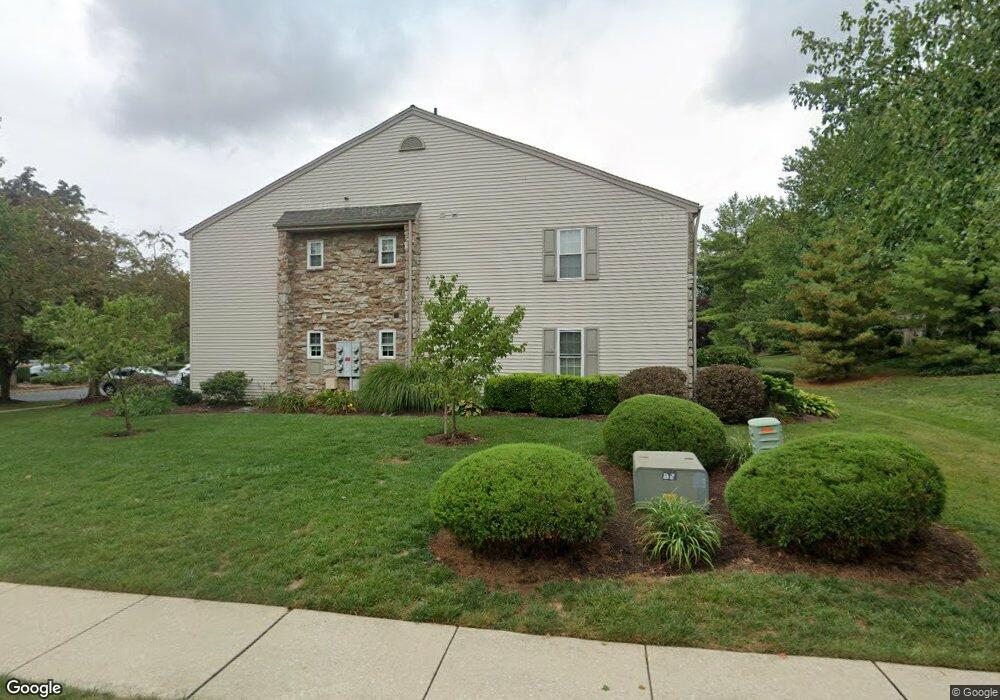
201 Greenview Dr Unit T1201 Lancaster, PA 17601
Landis Valley NeighborhoodEstimated Value: $233,000 - $254,000
2
Beds
2
Baths
1,213
Sq Ft
$203/Sq Ft
Est. Value
About This Home
This home is located at 201 Greenview Dr Unit T1201, Lancaster, PA 17601 and is currently estimated at $245,956, approximately $202 per square foot. 201 Greenview Dr Unit T1201 is a home located in Lancaster County with nearby schools including Nitrauer School, Landis Run Intermediate School, and Manheim Township Middle School.
Ownership History
Date
Name
Owned For
Owner Type
Purchase Details
Closed on
Dec 28, 2024
Sold by
Resch Judy D
Bought by
Robert C Resch And Judy D Resch Revocable Liv and Resch
Current Estimated Value
Purchase Details
Closed on
Nov 16, 2010
Sold by
Watkins Joanne and Watkins Walter E
Bought by
Resch Robert C and Resch Judy D
Purchase Details
Closed on
Feb 28, 2006
Sold by
Tobie Alan F and Tobie Josephine Mck
Bought by
Watkins Joanne
Create a Home Valuation Report for This Property
The Home Valuation Report is an in-depth analysis detailing your home's value as well as a comparison with similar homes in the area
Home Values in the Area
Average Home Value in this Area
Purchase History
| Date | Buyer | Sale Price | Title Company |
|---|---|---|---|
| Robert C Resch And Judy D Resch Revocable Liv | -- | None Listed On Document | |
| Resch Robert C | $130,000 | None Available | |
| Watkins Joanne | $120,000 | None Available |
Source: Public Records
Tax History Compared to Growth
Tax History
| Year | Tax Paid | Tax Assessment Tax Assessment Total Assessment is a certain percentage of the fair market value that is determined by local assessors to be the total taxable value of land and additions on the property. | Land | Improvement |
|---|---|---|---|---|
| 2025 | $2,584 | $119,400 | -- | $119,400 |
| 2024 | $2,584 | $119,400 | -- | $119,400 |
| 2023 | $2,516 | $119,400 | $0 | $119,400 |
| 2022 | $2,474 | $119,400 | $0 | $119,400 |
| 2021 | $2,419 | $119,400 | $0 | $119,400 |
| 2020 | $2,419 | $119,400 | $0 | $119,400 |
| 2019 | $2,395 | $119,400 | $0 | $119,400 |
| 2018 | $1,696 | $119,400 | $0 | $119,400 |
| 2017 | $2,725 | $107,100 | $0 | $107,100 |
| 2016 | $2,725 | $107,100 | $0 | $107,100 |
| 2015 | $685 | $107,100 | $0 | $107,100 |
| 2014 | $1,888 | $107,100 | $0 | $107,100 |
Source: Public Records
Map
Nearby Homes
- 212 Greenview Dr Unit T2212
- 1012 Whitfield Dr
- 672 Stockdale Dr
- 605 Kincaid Ave
- 71 Valleybrook Dr Unit 71
- 1041 Hunsicker Rd
- 2475 Oregon Pike
- 0 Butter Rd
- 0 Butter Rd
- 202 Valleybrook Dr Unit 202
- 2524 Saddle Dr
- 2111 Landis Valley Rd
- 200 Hershey Ln Unit CRESTWOOD
- 200 Hershey Ln Unit CEDARBROOK
- 1150 Groff Ln
- 1550 Euclid Dr
- 441 Valleybrook Dr
- 1922 Pickering Trail
- 1981 Landis Valley Rd
- 539 Sierra Ln
- 201 Greenview Dr
- 202 Greenview Dr
- 204 Greenview Dr Unit T1204
- 203 Greenview Dr
- 206 Greenview Dr
- 208 Greenview Dr Unit T1208
- 207 Greenview Dr
- 137 Greenview Dr
- 137 Greenview Dr Unit E6137
- 210 Greenview Dr
- 136 Greenview Dr Unit E6136
- 135 Greenview Dr
- 134 Greenview Dr
- 134 Greenview Dr Unit E6134
- 211 Greenview Dr
- 214 Greenview Dr
- 214 Greenview Dr Unit T2214
- 213 Greenview Dr Unit T2213
- 133 Greenview Dr
- 216 Greenview Dr