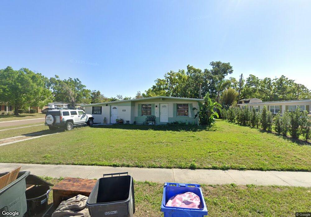
201 Harmony Ln Brandon, FL 33511
Estimated Value: $263,000 - $293,000
3
Beds
2
Baths
1,384
Sq Ft
$204/Sq Ft
Est. Value
About This Home
This home is located at 201 Harmony Ln, Brandon, FL 33511 and is currently estimated at $281,914, approximately $203 per square foot. 201 Harmony Ln is a home located in Hillsborough County with nearby schools including Yates Elementary School, Mann Middle School, and Brandon High School.
Ownership History
Date
Name
Owned For
Owner Type
Purchase Details
Closed on
Jun 13, 2006
Sold by
Rumschlag Cher J and Resendiz Joseph Anthony
Bought by
Resendiz Joseph Anthony and Resendiz Cher J
Current Estimated Value
Purchase Details
Closed on
Feb 28, 2005
Sold by
Facey Casseta
Bought by
Rumschlag Cher J
Home Financials for this Owner
Home Financials are based on the most recent Mortgage that was taken out on this home.
Original Mortgage
$104,800
Outstanding Balance
$53,029
Interest Rate
5.99%
Mortgage Type
Unknown
Estimated Equity
$228,885
Create a Home Valuation Report for This Property
The Home Valuation Report is an in-depth analysis detailing your home's value as well as a comparison with similar homes in the area
Home Values in the Area
Average Home Value in this Area
Purchase History
| Date | Buyer | Sale Price | Title Company |
|---|---|---|---|
| Resendiz Joseph Anthony | $51,700 | Millenium Title Inc | |
| Rumschlag Cher J | $131,000 | Genesis Title Company |
Source: Public Records
Mortgage History
| Date | Status | Borrower | Loan Amount |
|---|---|---|---|
| Open | Rumschlag Cher J | $104,800 | |
| Closed | Rumschlag Cher J | $26,200 |
Source: Public Records
Tax History
| Year | Tax Paid | Tax Assessment Tax Assessment Total Assessment is a certain percentage of the fair market value that is determined by local assessors to be the total taxable value of land and additions on the property. | Land | Improvement |
|---|---|---|---|---|
| 2025 | $1,167 | $74,253 | -- | -- |
| 2024 | $1,167 | $72,160 | -- | -- |
| 2023 | $1,117 | $70,058 | $0 | $0 |
| 2022 | $1,010 | $68,017 | $0 | $0 |
| 2021 | $1,003 | $66,036 | $0 | $0 |
| 2020 | $940 | $65,124 | $0 | $0 |
| 2019 | $846 | $57,682 | $0 | $0 |
| 2018 | $809 | $56,606 | $0 | $0 |
| 2017 | $802 | $87,993 | $0 | $0 |
| 2016 | $788 | $54,302 | $0 | $0 |
| 2015 | $796 | $53,925 | $0 | $0 |
| 2014 | $779 | $53,497 | $0 | $0 |
| 2013 | -- | $52,706 | $0 | $0 |
Source: Public Records
Map
Nearby Homes
- 603 Westbrook Ave
- 730 Clayton St
- 726 Fairmont Dr
- 721 Holly Terrace
- 501 N Bryan Cir
- 411 Bryan Rd
- 126 Ridgewood Ave
- 175 Picardy Villa Cir Unit 202
- 113 E Robertson St
- 201 Mason St
- 310 Kenmore Rd
- 712 Lithia Pinecrest Rd
- 314 Lake Parsons Green Unit 203
- 302 Lake Parsons Green Unit 102
- 806 Lake Haven Square Unit 203
- 0 Dew Bloom Rd Unit MFRL4947412
- 603 Oak Ridge Dr
- 215 Lake Brook Cir Unit 204
- 1105 Briarwood Rd
- 1001 Sonesta Ave
- 203 Harmony Ln
- 705 Westbrook Ave
- 202 Harmony Ln
- 707 Westbrook Ave
- 702 Mason St
- 702 Westbrook Ave
- 704 Mason St
- 608 Westbrook Ave
- 706 Westbrook Ave
- 204 Harmony Ln
- 706 Mason St
- 606 Westbrook Ave
- 709 Westbrook Ave
- 708 Westbrook Ave
- 206 Harmony Ln
- 708 Mason St
- 604 Westbrook Ave
- 710 Westbrook Ave
- 711 Westbrook Ave
- 601 Westbrook Ave
Your Personal Tour Guide
Ask me questions while you tour the home.