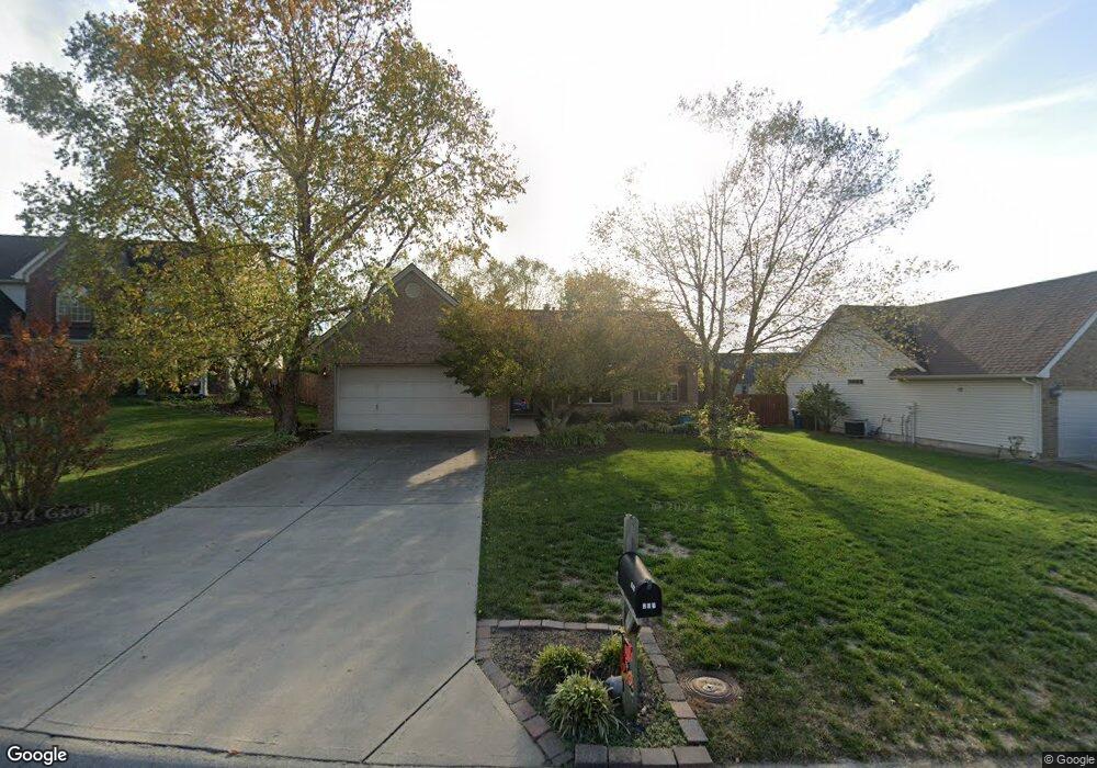
201 Hawthorne Dr Georgetown, KY 40324
Bradford Place NeighborhoodEstimated Value: $313,151 - $327,000
3
Beds
2
Baths
1,650
Sq Ft
$194/Sq Ft
Est. Value
About This Home
This home is located at 201 Hawthorne Dr, Georgetown, KY 40324 and is currently estimated at $319,288, approximately $193 per square foot. 201 Hawthorne Dr is a home located in Scott County with nearby schools including Southern Elementary School, Georgetown Middle School, and Scott County High School.
Ownership History
Date
Name
Owned For
Owner Type
Purchase Details
Closed on
Sep 15, 2009
Sold by
Frazier Jimmy W and Frazier Ashley K
Bought by
Wright C Gordon and Wright Barbara J
Current Estimated Value
Home Financials for this Owner
Home Financials are based on the most recent Mortgage that was taken out on this home.
Original Mortgage
$100,000
Outstanding Balance
$64,196
Interest Rate
5.15%
Mortgage Type
New Conventional
Estimated Equity
$255,092
Create a Home Valuation Report for This Property
The Home Valuation Report is an in-depth analysis detailing your home's value as well as a comparison with similar homes in the area
Home Values in the Area
Average Home Value in this Area
Purchase History
| Date | Buyer | Sale Price | Title Company |
|---|---|---|---|
| Wright C Gordon | $155,500 | None Available |
Source: Public Records
Mortgage History
| Date | Status | Borrower | Loan Amount |
|---|---|---|---|
| Open | Wright C Gordon | $100,000 |
Source: Public Records
Tax History
| Year | Tax Paid | Tax Assessment Tax Assessment Total Assessment is a certain percentage of the fair market value that is determined by local assessors to be the total taxable value of land and additions on the property. | Land | Improvement |
|---|---|---|---|---|
| 2025 | $1,878 | $259,900 | $0 | $0 |
| 2024 | $1,747 | $240,600 | $0 | $0 |
| 2023 | $1,644 | $227,700 | $42,000 | $185,700 |
| 2022 | $1,393 | $204,300 | $35,000 | $169,300 |
| 2021 | $1,404 | $189,500 | $35,000 | $154,500 |
| 2020 | $1,121 | $169,800 | $35,000 | $134,800 |
| 2019 | $1,067 | $161,500 | $0 | $0 |
| 2018 | $1,054 | $159,045 | $0 | $0 |
| 2017 | $1,059 | $159,045 | $0 | $0 |
| 2016 | $957 | $155,761 | $0 | $0 |
| 2015 | $949 | $118,600 | $0 | $0 |
| 2014 | $991 | $119,500 | $0 | $0 |
| 2011 | $96 | $155,500 | $0 | $0 |
Source: Public Records
Map
Nearby Homes
- 115 Victor Place
- 113 Walden Cove Unit 3I
- 106 Ransom Trace
- 100 Hemingway Ct
- 118 Chamberlain Dr
- 104 Bronte Place
- 512 Pocahontas Trail
- 1026 Parkside Dr
- 1003 Parkside Dr
- 232 W Showalter Dr
- 1117 Pawnee Trail
- 206 Hiawatha Trail
- 108 Pinwheel Ct
- 106 Somerset Cove
- 251 W Showalter Dr
- 106 Capella Way
- 140 Magellan Ln
- 144 Magellan Ln
- 152 Magellan Ln
- 109 Crescent Way
Your Personal Tour Guide
Ask me questions while you tour the home.