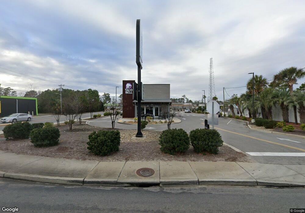
201 Highway 17 N North Myrtle Beach, SC 29582
Ocean Drive NeighborhoodEstimated Value: $449,549
--
Bed
--
Bath
3,060
Sq Ft
$147/Sq Ft
Est. Value
About This Home
This home is located at 201 Highway 17 N, North Myrtle Beach, SC 29582 and is currently estimated at $449,549, approximately $146 per square foot. 201 Highway 17 N is a home located in Horry County with nearby schools including Ocean Drive Elementary School, North Myrtle Beach Middle School, and North Myrtle Beach High School.
Ownership History
Date
Name
Owned For
Owner Type
Purchase Details
Closed on
May 9, 2022
Sold by
Piver Corp
Bought by
Num 201 Nkh Llc
Current Estimated Value
Home Financials for this Owner
Home Financials are based on the most recent Mortgage that was taken out on this home.
Original Mortgage
$295,000
Outstanding Balance
$106,147
Interest Rate
4.72%
Mortgage Type
Mortgage Modification
Estimated Equity
$343,402
Create a Home Valuation Report for This Property
The Home Valuation Report is an in-depth analysis detailing your home's value as well as a comparison with similar homes in the area
Home Values in the Area
Average Home Value in this Area
Purchase History
| Date | Buyer | Sale Price | Title Company |
|---|---|---|---|
| Num 201 Nkh Llc | $425,000 | -- |
Source: Public Records
Mortgage History
| Date | Status | Borrower | Loan Amount |
|---|---|---|---|
| Open | Num 201 Nkh Llc | $295,000 |
Source: Public Records
Tax History Compared to Growth
Tax History
| Year | Tax Paid | Tax Assessment Tax Assessment Total Assessment is a certain percentage of the fair market value that is determined by local assessors to be the total taxable value of land and additions on the property. | Land | Improvement |
|---|---|---|---|---|
| 2024 | $9,216 | $37,363 | $27,216 | $10,147 |
| 2023 | $9,216 | $27,966 | $18,144 | $9,822 |
| 2021 | $7,837 | $30,354 | $18,144 | $12,210 |
| 2020 | $7,208 | $30,354 | $18,144 | $12,210 |
| 2019 | $7,208 | $30,354 | $18,144 | $12,210 |
| 2018 | $0 | $24,318 | $16,848 | $7,470 |
| 2017 | $6,396 | $24,318 | $16,848 | $7,470 |
| 2016 | -- | $24,318 | $16,848 | $7,470 |
| 2015 | $6,323 | $24,318 | $16,848 | $7,470 |
| 2014 | $6,148 | $24,318 | $16,848 | $7,470 |
Source: Public Records
Map
Nearby Homes
- 100 Ye Olde Kings Hwy Unit E
- 1010 Foxfire Dr
- 310 Lorenzo Dr
- 210 Landing Rd Unit F
- 204 Landing Rd Unit E
- 919 Baron Ln
- 1001 Baron Ln
- 200 Landing Rd Unit 111
- 800 Lorenzo Dr
- 213 Landing Rd Unit A
- 213 Landing Rd Unit D
- 623 Rosemary Ln
- 201 Landing Rd Unit D
- 1612 Covewind Cir Unit Lot 37
- WILMINGTON Plan at Southwind Cove
- SAVANNAH Plan at Southwind Cove
- 700 Lorenzo Dr
- 1547 Covewind Cir Unit Lot 45
- 1539 Covewind Cir Unit Lot 43
- 707 1st Ave S Unit 36A
- 115 N Kings Hwy
- 205 Highway 17 N
- 115 Highway 17 N
- 211 Highway 17 N
- 202 Highway 17 N
- 213 Highway 17 N
- 105 Ye Olde Kings Hwy
- Lot 60, Blk B Ye Olde Kings Hwy Unit Lot 60, Blk B
- 100 Highway 17 N
- 1021 2nd Ave N
- 1021 2nd Ave N Unit Suite 6, Waterway Bu
- 1021 2nd Ave N Unit Suite 5, Waterway Bu
- 1021 2nd Ave N Unit Suite 4, Waterway Bu
- 1021 2nd Ave N Unit Waterway Business Ce
- 1016 2nd Ave N Unit Suite 206-E & G
- 1016 2nd Ave N Unit Suite 205
- 1016 2nd Ave N Unit Suite 303
- 1016 2nd Ave N Unit Suite 301
- 1016 2nd Ave N Unit 2nd Ave. Executive C
- 1016 2nd Ave N Unit Suite 206-A