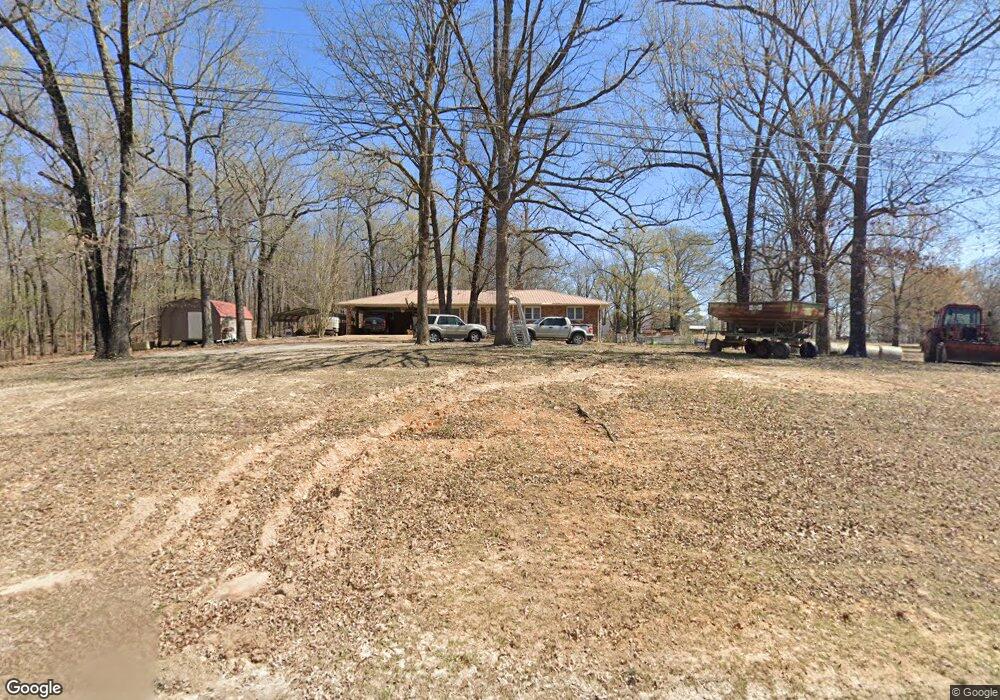
201 Highway 251 Pocahontas, AR 72455
Estimated Value: $119,000 - $188,000
--
Bed
2
Baths
1,818
Sq Ft
$89/Sq Ft
Est. Value
About This Home
This home is located at 201 Highway 251, Pocahontas, AR 72455 and is currently estimated at $161,055, approximately $88 per square foot. 201 Highway 251 is a home located in Randolph County with nearby schools including Pocahontas Elementary School, M.D. Williams Middle School, and Pocahontas Junior High School.
Ownership History
Date
Name
Owned For
Owner Type
Purchase Details
Closed on
Nov 8, 2021
Sold by
Cox Ashley and Estate Of Geneva Sandelee Duff
Bought by
The William Thad Poore Living Trust
Current Estimated Value
Purchase Details
Closed on
Apr 18, 2019
Sold by
Mcdonald Johnny M
Bought by
Mcdonald Andrea D
Purchase Details
Closed on
Dec 15, 2008
Bought by
Elkins To Alphin
Purchase Details
Closed on
Oct 13, 2008
Bought by
Elkins To Elkins
Purchase Details
Closed on
Jun 4, 2007
Bought by
Elkins To Elkins
Purchase Details
Closed on
Nov 21, 2006
Bought by
Elkins To Elkins
Purchase Details
Closed on
Jan 26, 2004
Bought by
Elkins To Elkins and Elkins Elkins
Create a Home Valuation Report for This Property
The Home Valuation Report is an in-depth analysis detailing your home's value as well as a comparison with similar homes in the area
Home Values in the Area
Average Home Value in this Area
Purchase History
| Date | Buyer | Sale Price | Title Company |
|---|---|---|---|
| The William Thad Poore Living Trust | $35,000 | None Available | |
| Mcdonald Andrea D | -- | None Available | |
| Elkins To Alphin | $119,000 | -- | |
| Elkins To Elkins | -- | -- | |
| Elkins To Elkins | -- | -- | |
| Elkins To Elkins | -- | -- | |
| Elkins To Elkins | -- | -- |
Source: Public Records
Tax History Compared to Growth
Tax History
| Year | Tax Paid | Tax Assessment Tax Assessment Total Assessment is a certain percentage of the fair market value that is determined by local assessors to be the total taxable value of land and additions on the property. | Land | Improvement |
|---|---|---|---|---|
| 2025 | $425 | $26,405 | $3,400 | $23,005 |
| 2024 | $501 | $26,405 | $3,400 | $23,005 |
| 2023 | $534 | $26,405 | $3,400 | $23,005 |
| 2022 | $583 | $26,405 | $3,400 | $23,005 |
| 2021 | $541 | $26,405 | $3,400 | $23,005 |
| 2020 | $459 | $21,495 | $2,400 | $19,095 |
| 2019 | $459 | $21,495 | $2,400 | $19,095 |
| 2018 | $484 | $21,495 | $2,400 | $19,095 |
| 2017 | $379 | $20,605 | $2,400 | $18,205 |
| 2016 | $379 | $20,605 | $2,400 | $18,205 |
| 2015 | $379 | $20,605 | $2,400 | $18,205 |
| 2014 | $311 | $20,605 | $2,400 | $18,205 |
Source: Public Records
Map
Nearby Homes
- 257 Cardinal Trail
- 175 Country Club Rd
- country Club Rd
- 417 Ridge Rd
- 901 Cagle Rd
- 1108 Wilson Dr
- 2014 Dana Dr
- 2017 Paula St
- 2169 Seagraves Rd
- 2187 Seagraves Rd
- 2002 Evening Dr
- 350 Helter Rd
- Haynes St
- 308 Engelberg Rd
- 2004 Rosewood St
- 1707 N Thomasville Ave
- 403 Lakeview Point
- 1909 Briarwood St
- 1958 Whipperwill Dr
- 1803 N Park St
- 159 Bellview Rd
- 109 Highway 251
- 3862 Highway 115
- 372 Highway 251
- 38 Sherman Trail
- 3763 Highway 115
- 177 Johnson Church Rd
- 3863 Highway 115
- 9 Sherman Trail
- 3913 Highway 115
- 255 Johnson Church Rd
- 120 Sherman Trail
- 120 Sherman Trail
- 3549 Highway 115
- 489 Highway 251
- 3476 Highway 115
- 3498 Highway 115
- 3435 Highway 115
- 242 Sherman Trail
- 4065 Highway 115