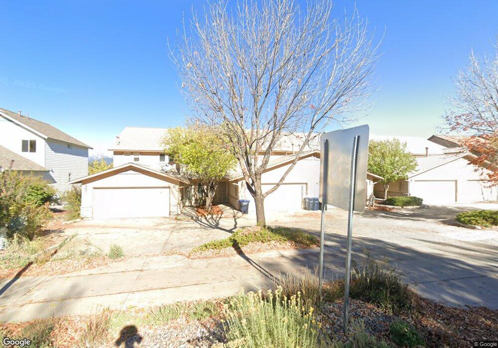
201 Jenkins Ranch Rd Durango, CO 81301
Skyridge NeighborhoodEstimated Value: $705,000 - $819,967
3
Beds
3
Baths
2,112
Sq Ft
$366/Sq Ft
Est. Value
About This Home
This home is located at 201 Jenkins Ranch Rd, Durango, CO 81301 and is currently estimated at $772,742, approximately $365 per square foot. 201 Jenkins Ranch Rd is a home located in La Plata County with nearby schools including Park Elementary School, Escalante Middle School, and Durango High School.
Ownership History
Date
Name
Owned For
Owner Type
Purchase Details
Closed on
Dec 19, 2024
Sold by
Robert F Sander Family Trust and Sander Marlene R
Bought by
Sander Marlene R and Sander
Current Estimated Value
Purchase Details
Closed on
Jan 20, 2017
Sold by
Liaboh Inna J
Bought by
Decarvalho Luciano N and Chang Say Ai Mee A
Purchase Details
Closed on
Feb 13, 2014
Sold by
Sander Jason R
Bought by
Sander Jason R
Purchase Details
Closed on
Nov 14, 2013
Sold by
Sander Jason R
Bought by
Saner Marlene R and Marlene R Sander Family Trust
Purchase Details
Closed on
Sep 20, 2000
Bought by
Sander Robert F Family Trust & S
Create a Home Valuation Report for This Property
The Home Valuation Report is an in-depth analysis detailing your home's value as well as a comparison with similar homes in the area
Home Values in the Area
Average Home Value in this Area
Purchase History
We collect this data history from publicly available records. To have your information removed, we recommend requesting removal directly through your county’s website.
| Date | Buyer | Sale Price | Title Company |
|---|---|---|---|
| Sander Marlene R | -- | None Listed On Document | |
| Sander Marlene R | -- | None Listed On Document | |
| Robert F Sander Family Trust | -- | None Listed On Document | |
| Decarvalho Luciano N | $380,000 | None Available | |
| Sander Jason R | -- | None Available | |
| Saner Marlene R | $75,000 | None Available | |
| Sander Robert F Family Trust & S | $225,900 | -- |
Source: Public Records
Tax History
| Year | Tax Paid | Tax Assessment Tax Assessment Total Assessment is a certain percentage of the fair market value that is determined by local assessors to be the total taxable value of land and additions on the property. | Land | Improvement |
|---|---|---|---|---|
| 2025 | $1,449 | $47,060 | $6,620 | $40,440 |
| 2024 | $1,233 | $30,680 | $5,090 | $25,590 |
| 2023 | $1,233 | $33,690 | $5,590 | $28,100 |
| 2022 | $1,182 | $35,650 | $5,920 | $29,730 |
| 2021 | $1,187 | $29,910 | $4,840 | $25,070 |
| 2020 | $1,108 | $28,820 | $4,720 | $24,100 |
| 2019 | $1,060 | $28,820 | $4,720 | $24,100 |
| 2018 | $1,030 | $28,350 | $4,520 | $23,830 |
| 2017 | $1,007 | $28,350 | $4,520 | $23,830 |
| 2016 | $969 | $29,740 | $4,740 | $25,000 |
| 2015 | $908 | $29,740 | $4,740 | $25,000 |
| 2014 | $820 | $25,810 | $4,380 | $21,430 |
| 2013 | -- | $25,810 | $4,380 | $21,430 |
Source: Public Records
Map
Nearby Homes
- 1100 Goeglein Gulch Rd Unit 254
- 1100 Goeglein Gulch Rd Unit 223
- 1100 Goeglein Gulch Rd Unit 163
- 1100 Goeglein Gulch Rd Unit 216
- 1100 Goeglein Gulch Rd Unit 133
- 126 Linda Ct
- 6 Ferringway Cir Unit 30
- 6 Ferringway Cir Unit 22
- TBD Cedar Ridge Way
- 311 Hillcrest Dr Unit 4
- 216 Via Veneto
- 105 Tierra Vista Dr
- 760 Goeglein Gulch Rd Unit 2
- 760 Goeglein Gulch Rd Unit 1
- 760 Goeglein Gulch Rd Unit 3
- 60 Silver Mountain Ln
- 434 Jenkins Ranch Rd
- 436 Jenkins Ranch Rd
- 31 La Plata Place
- 900 Florida Rd
- 201 Jenkins Ranch Rd Unit 3
- 201 Jenkins Ranch Rd Unit E
- 201 Jenkins Ranch Rd Unit D
- 201 Jenkins Ranch Rd Unit C
- 201 Jenkins Ranch Rd Unit A
- 201E Jenkins Ranch Rd
- 1 Molas Dr
- 202 Jenkins Ranch Rd Unit B
- 202 Jenkins Ranch Rd Unit A
- 202 Jenkins Ranch Rd
- 205 Jenkins Ranch Rd Unit E
- 205 Jenkins Ranch Rd Unit D
- 205 Jenkins Ranch Rd Unit C
- 205 Jenkins Ranch Rd Unit B
- 205 Jenkins Ranch Rd Unit A
- 107 Jenkins Ranch Rd Unit F
- 107 Jenkins Ranch Rd Unit E
- 107 Jenkins Ranch Rd Unit D
- 107 Jenkins Ranch Rd Unit C
- 107 Jenkins Ranch Rd Unit B
Your Personal Tour Guide
Ask me questions while you tour the home.