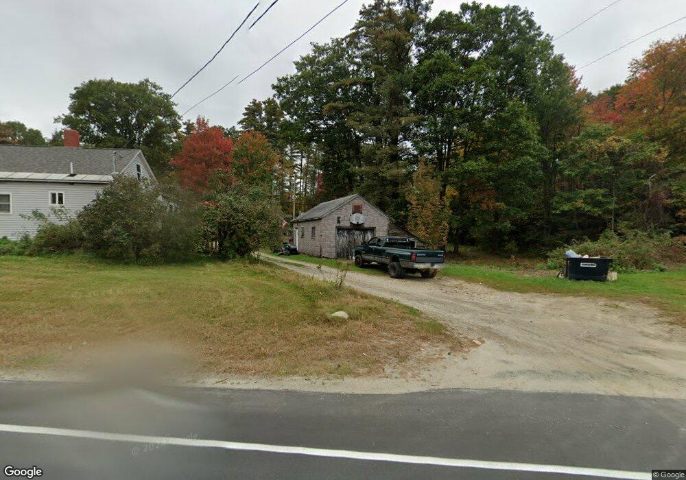
201 John Stark Hwy Newport, NH 03773
Estimated Value: $247,000 - $309,000
3
Beds
1
Bath
1,214
Sq Ft
$224/Sq Ft
Est. Value
About This Home
This home is located at 201 John Stark Hwy, Newport, NH 03773 and is currently estimated at $272,002, approximately $224 per square foot. 201 John Stark Hwy is a home located in Sullivan County with nearby schools including Richards Elementary School, Newport High School, and Newport Montessori School.
Create a Home Valuation Report for This Property
The Home Valuation Report is an in-depth analysis detailing your home's value as well as a comparison with similar homes in the area
Home Values in the Area
Average Home Value in this Area
Tax History Compared to Growth
Tax History
| Year | Tax Paid | Tax Assessment Tax Assessment Total Assessment is a certain percentage of the fair market value that is determined by local assessors to be the total taxable value of land and additions on the property. | Land | Improvement |
|---|---|---|---|---|
| 2024 | $4,441 | $182,700 | $84,100 | $98,600 |
| 2023 | $4,308 | $182,700 | $84,100 | $98,600 |
| 2022 | $3,818 | $182,700 | $84,100 | $98,600 |
| 2021 | $3,152 | $95,500 | $44,700 | $50,800 |
| 2020 | $3,161 | $95,500 | $44,700 | $50,800 |
| 2019 | $3,107 | $95,500 | $44,700 | $50,800 |
| 2018 | $2,903 | $95,500 | $44,700 | $50,800 |
| 2017 | $2,869 | $95,500 | $44,700 | $50,800 |
| 2016 | $2,566 | $89,300 | $40,800 | $48,500 |
| 2015 | $2,612 | $89,300 | $40,800 | $48,500 |
| 2014 | $2,825 | $89,300 | $40,800 | $48,500 |
| 2013 | $2,678 | $89,300 | $40,800 | $48,500 |
Source: Public Records
Map
Nearby Homes